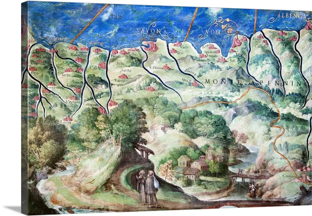
Detail Of 16th Century Map Of Liguria
$42
Great Big Canvas
Detail of 16th century map of Liguria. Detail from the map of Liguria, from Genoa (far left) to Albenga (far right), showing Savona (middle), the water courses and the Apennine mountains (labelled). This map of Liguria is contained in the Gallery of Maps in the Vatican Museums. The Gallery of Maps holds maps which were commissioned between 1578 and 1580 to show the regions of Italy and territories of the church. The maps are based on the work of Ignazio Danti, a 16th century Italian priest, mathematician, astronomer and cosmographer, and are an important record of 16th century geography.
No reviews
Similar Items