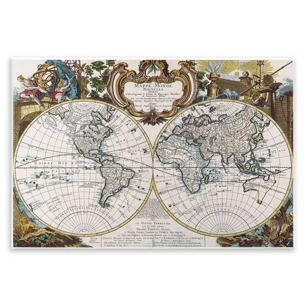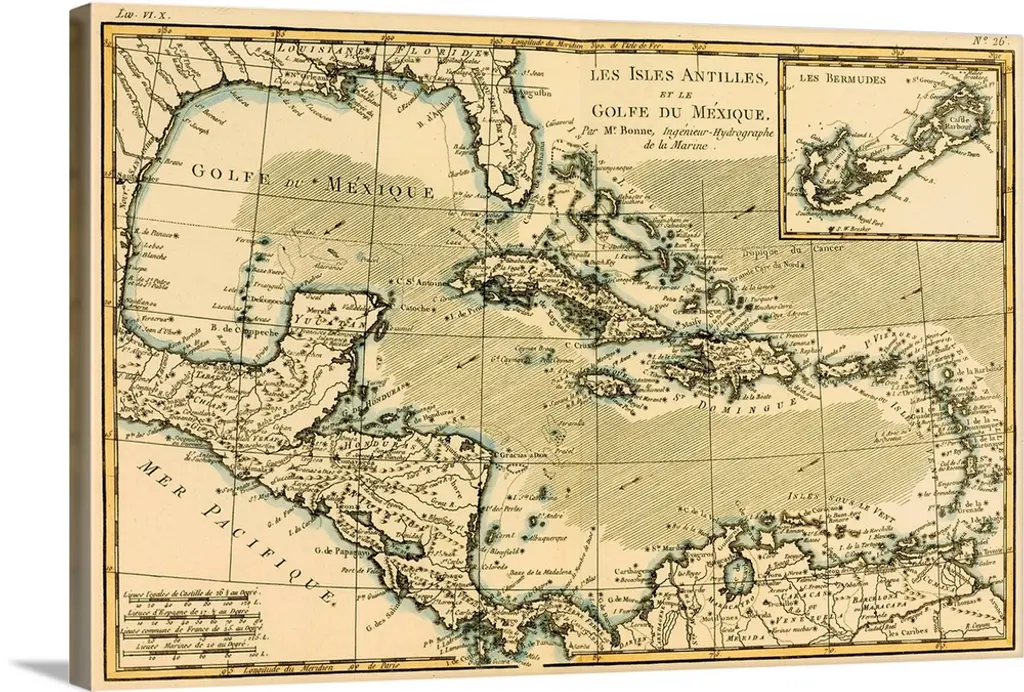
Map Of The West Indies And The Mexican Gulf, Circa 1760
$42
Great Big Canvas
Map Of The West Indies And The Mexican Gulf, Circa. 1760. From "Atlas De Toutes Les Parties Connues Du Globe Terrestre,"? By Cartographer Rigobert Bonne. Published Geneva, Circa. 1760.
No reviews
Similar Items