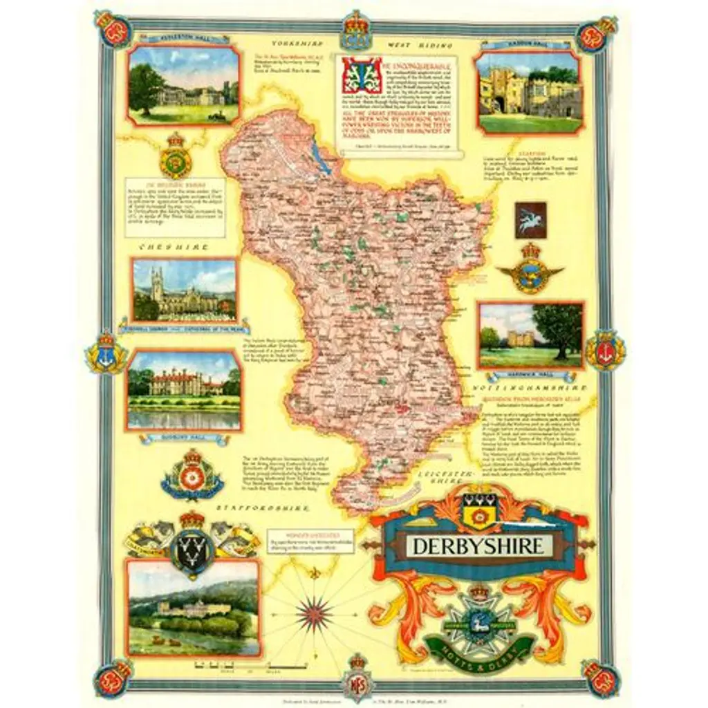
Map Of Derbyshire, C. 1945
$140
One Kings Lane
Original lithograph map of Derbyshire, a county in the East Midlands of England, circa 1945. Designed by the British cartographer Ernest Clegg (1876-1954). This large and colorful map of the county shows cities, topography, and commerce by region. Clegg surrounds the county map with detailed illustrations of major points of interest and historical anecdotes. Includes a certificate with additional information.
No reviews
Similar Items