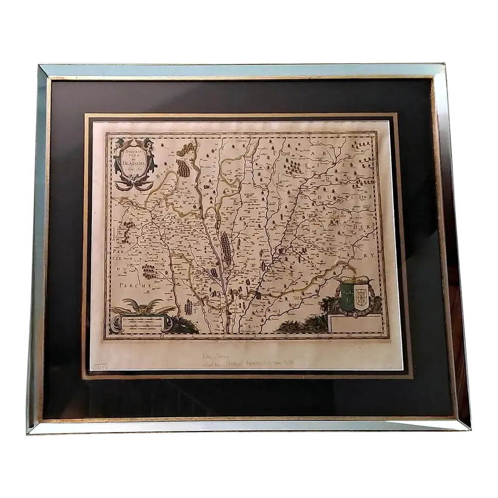
Free shipping to the United States. All U.S. orders are shipped via FedEx Economy, with an average delivery time of 8 to 10 days. All shipments are fully insured and professionally packaged. JOHANNES JANSSONIUS Arnhem, Netherlands 1588 - 1664 Frame Dimensions Height: 22.16 inches Width: 26.77 inches Depth: 0.86 inches Description Northwestern Africa, Atlantic Islands. Jan Jansson, Pascaart, Waer in Men Claarlyck Zien can alle Havens Rivieren Droogten Gelegen Tusschen C.S. Vincent en C. Verde... / Tabula Hydrographica uby Clarissime Perspicinutur Omnes Portus, Flu: et Vada Jacentia Inter Cap. S. Vincentii et Cap. Verde..., 1650 (circa). Hand Color. An attractive and uncommon chart covering the northwestern coast of Africa from Gambia to the Strait of Gibraltar along with several Atlantic Islands including the Azores, Canary, and Cape Verde islands. Numerous place names are located along the coast and all islands are identified. North is oriented to the left. Adorned by a decorative title cartouche flanked by a lion and leopard, a compass rose with fleur-de-lis. This chart was issued in Jansson's Une Parfaicte Description du Monde Maritime ou Hydrographie Generale de Toute la Terre..., considered to be the first true sea atlas. Pilot guides supplemented with charts appeared as early as 1584, but not as a collection and issued in folio size prior to 1650. This sea atlas served as the fifth volume of Jansson's Nouvel Atlas. LITERATURE: Van der Krogt (Vol. 1) #0150:1. Item condition: Some foxing, some stains. Some imperfections on the frame. On the back the paper looks a little crumpled. Age weathered surfaces. Condition is appropriate for age and use. See photos for complete assessment.
Similar products