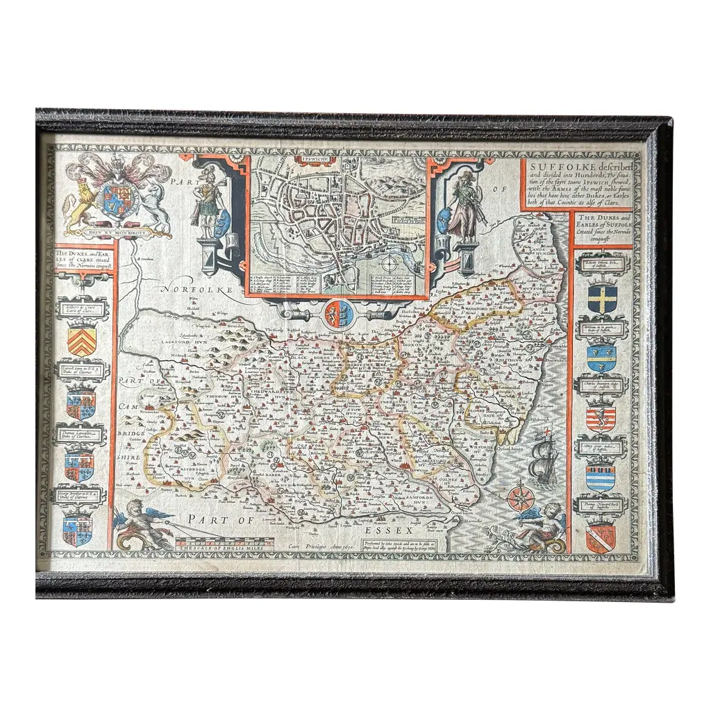
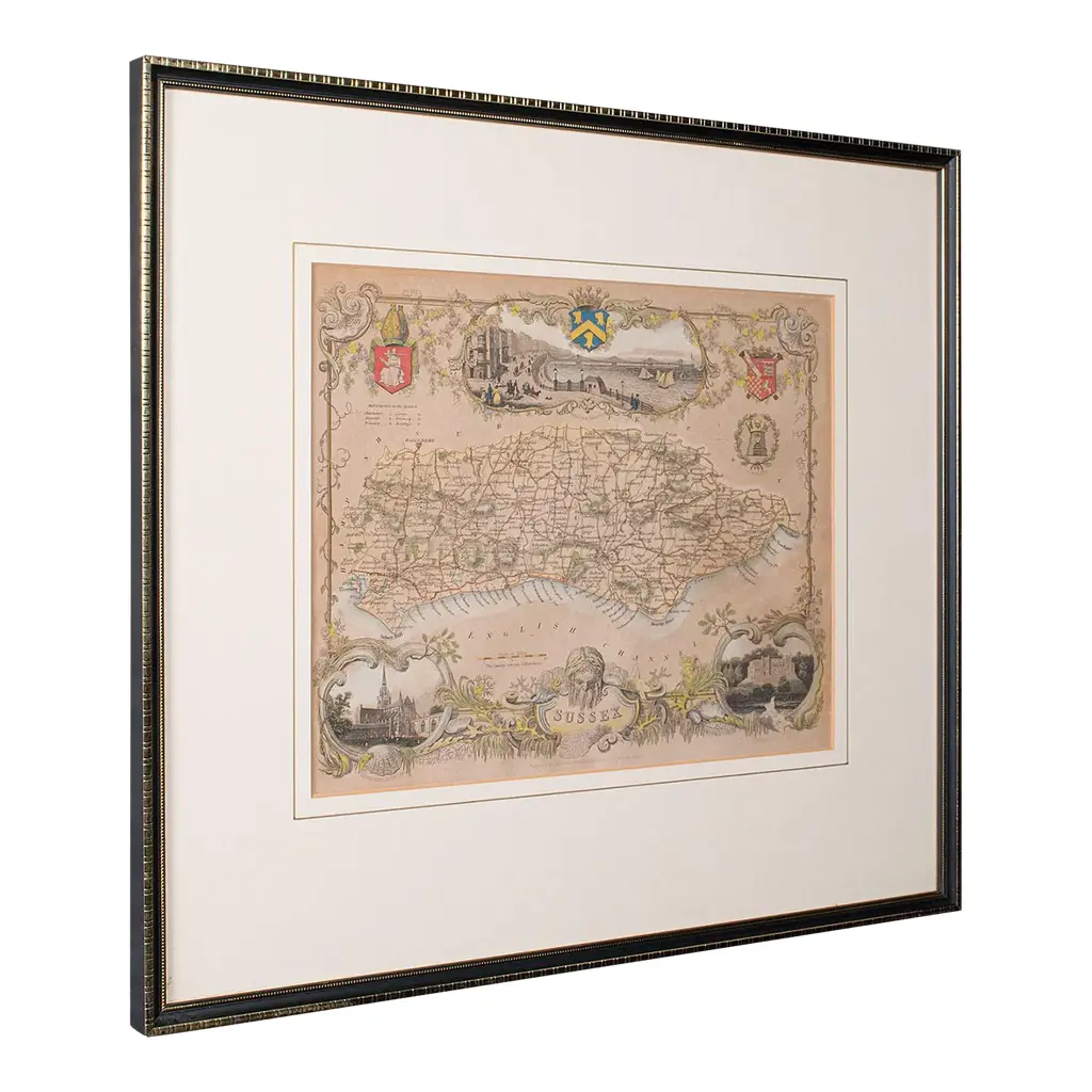
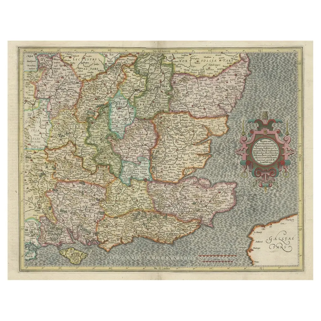
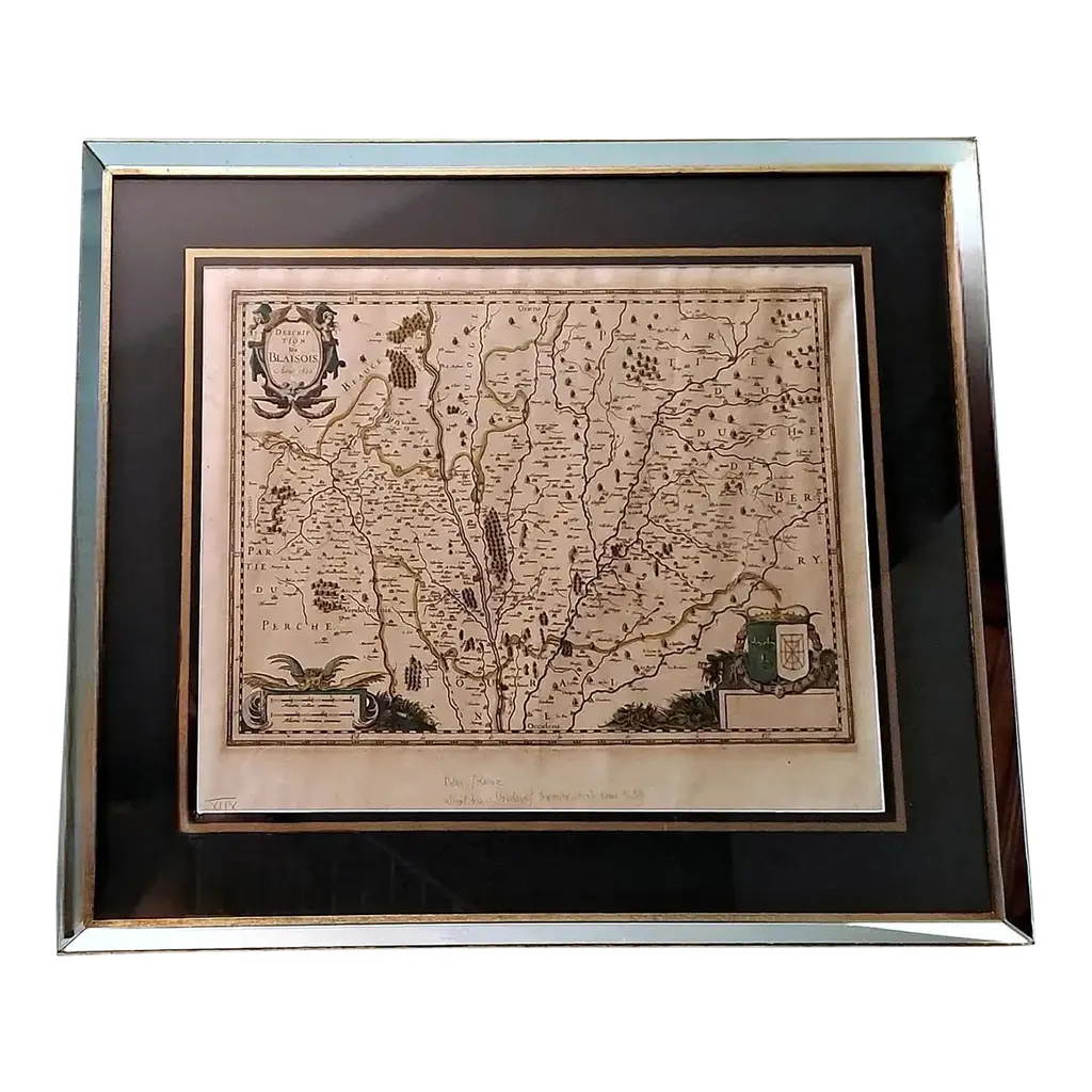
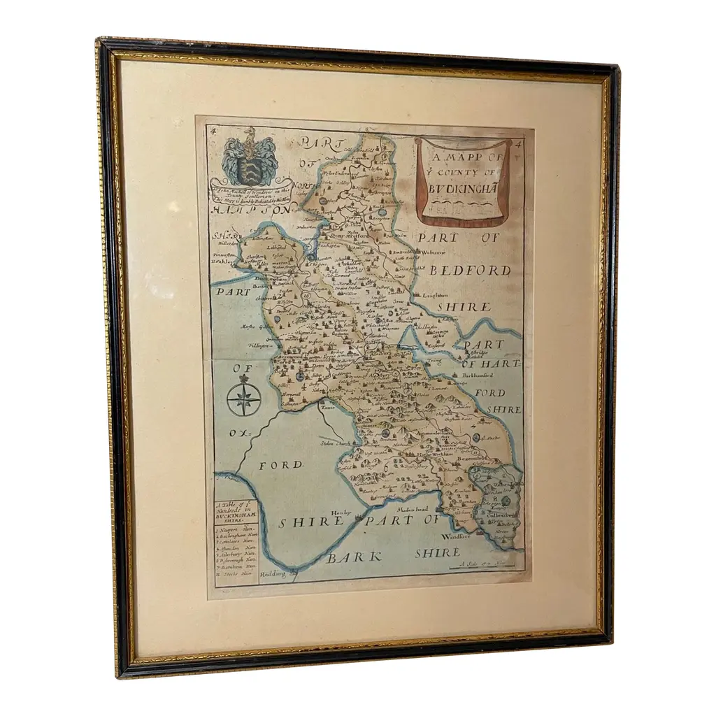
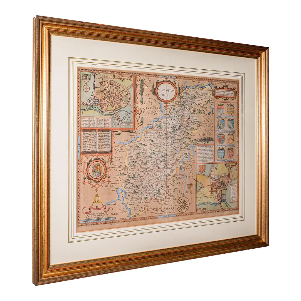
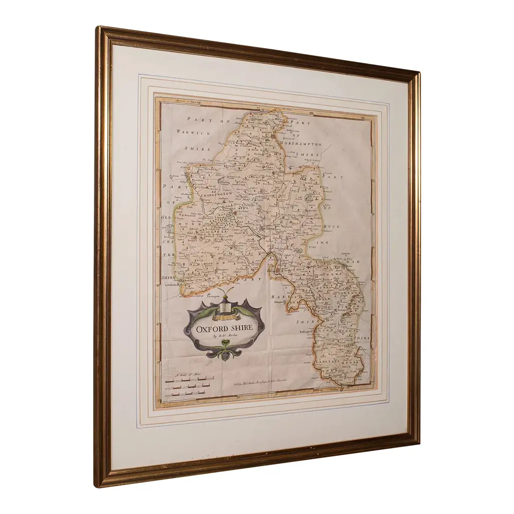
This is an antique county map of Buckinghamshire and Bedfordshire. A Dutch, framed atlas engraving by Johannes Janssonius, dating to the 17th century and later. A treat for the collector or county native, with this charming dual county map Displays a desirable aged patina within a later, quality frame Skilfully charted by the Dutch cartographer Johannes Janssonius (1558 - 1664) Likely a framed excerpt from the Novus Atlus, Amsterdam Annotated with fascinating heraldic detail for prominent families Cherub figures accentuate the scale, shown in 'Milliaria Anglica' and 'Milliaria Germanica' Hand coloured finish adds an appealing decorative appearance Dressed to the rear with mounting wire for ease of hanging This is a fascinating antique county map of Buckinghamshire and Bedfordshire, with superb detail and 17th century cartographic interest. Delivered ready to display. Dimensions: Max Width: 70.5cm (27.75'') Max Depth: 2cm (.75'') Max Height: 61cm (24'') Map Width: 51cm (20'') Map Height: 40.5cm (16'')
Similar products