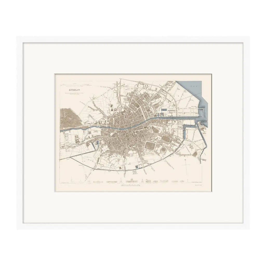
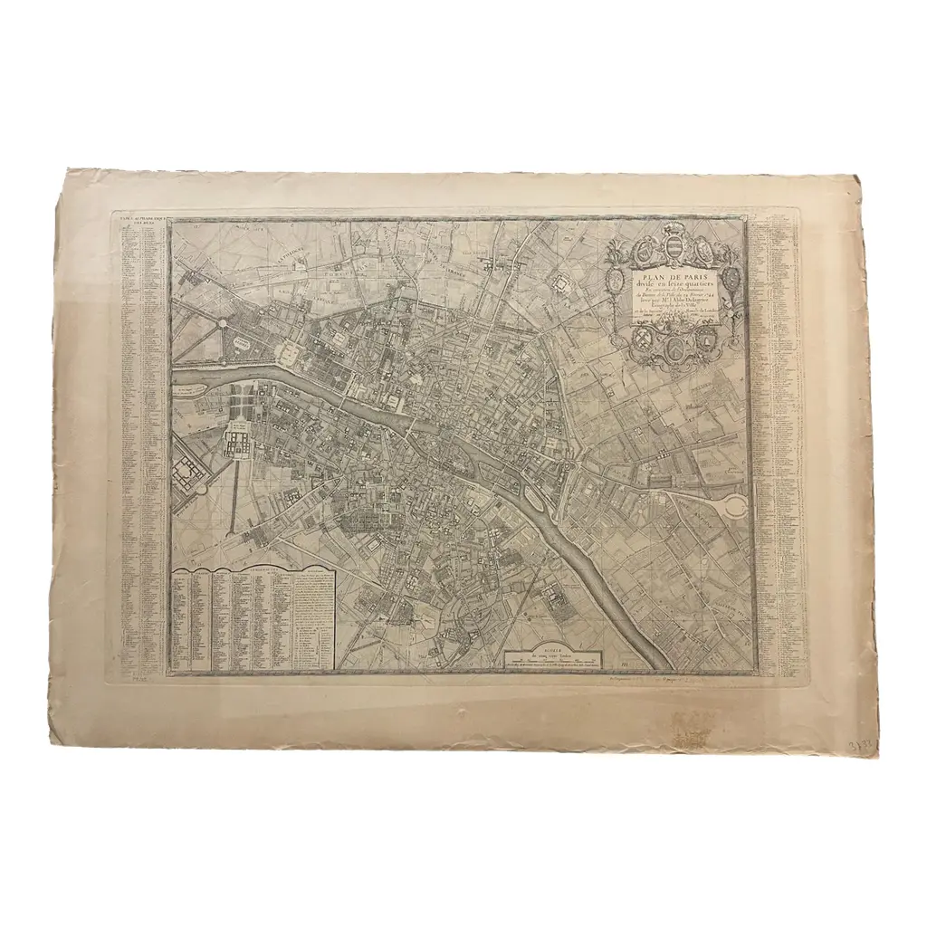
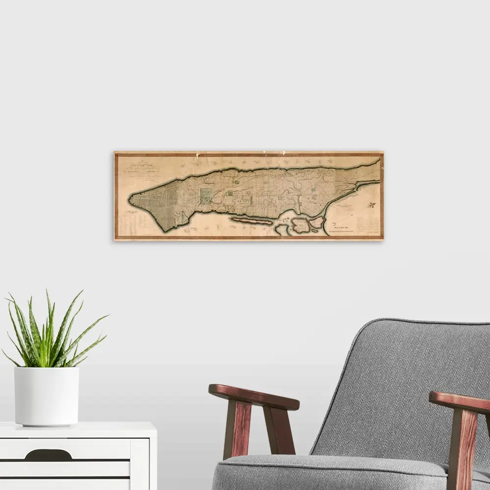
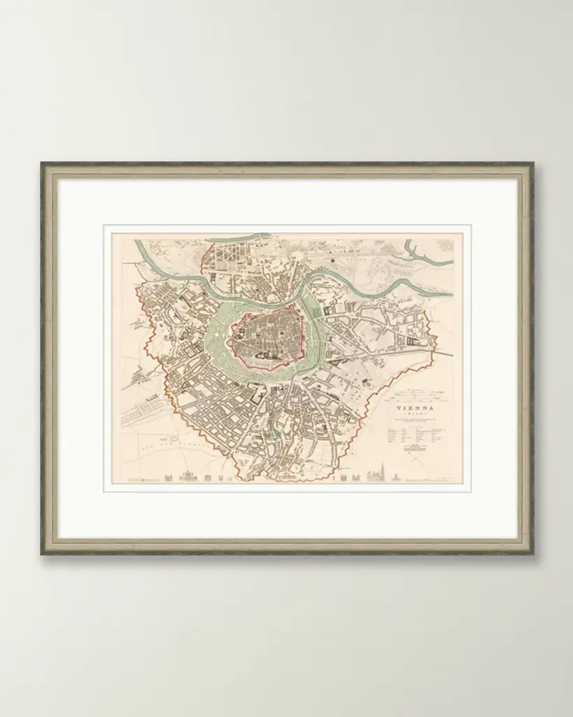
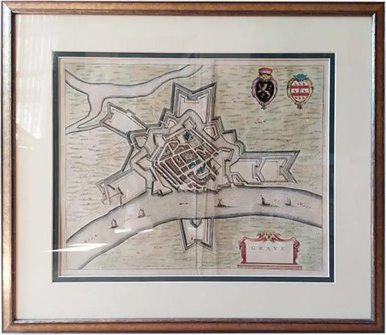
This is an antique town plan map of Poole in Dorset. An English, framed atlas engraving, dating to the 18th century and later. Fascinating cartography with annotated streets and places Displaying a desirable aged patina within a later frame Dedicated to Lieutenant Colonel Thomas Calcraft and Joshua Mauger, Both were parliamentarians for Poole from 1761 to 1774, and 1768 - 1780 respectively Hand colouring adds an appealing level of detail to the town plan Dressed to the rear with mounting wire for ease of hanging This is a charming antique town plan map of Poole, with a fascinating level of local detail. Delivered ready to display. Dimensions: Max Width: 42.5cm (16.75'') Max Depth: 2.5cm (1'') Max Height: 49.5cm (19.5'') Map Width: 28cm (11'') Map Height: 35cm (13.75'')
Similar products