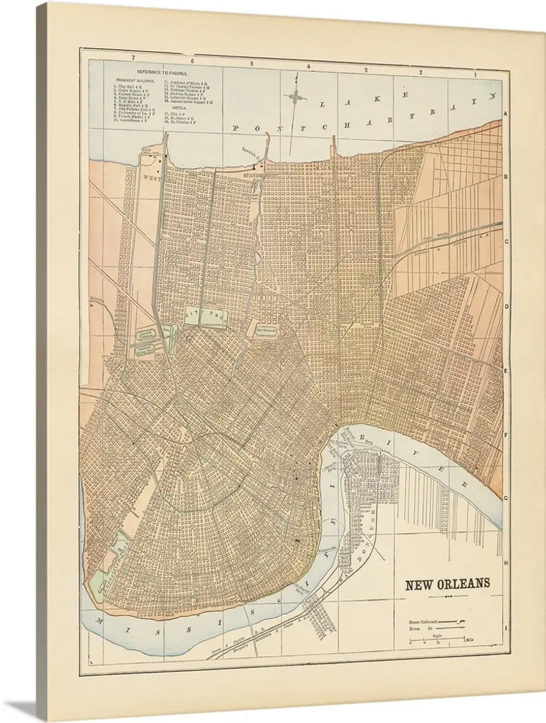
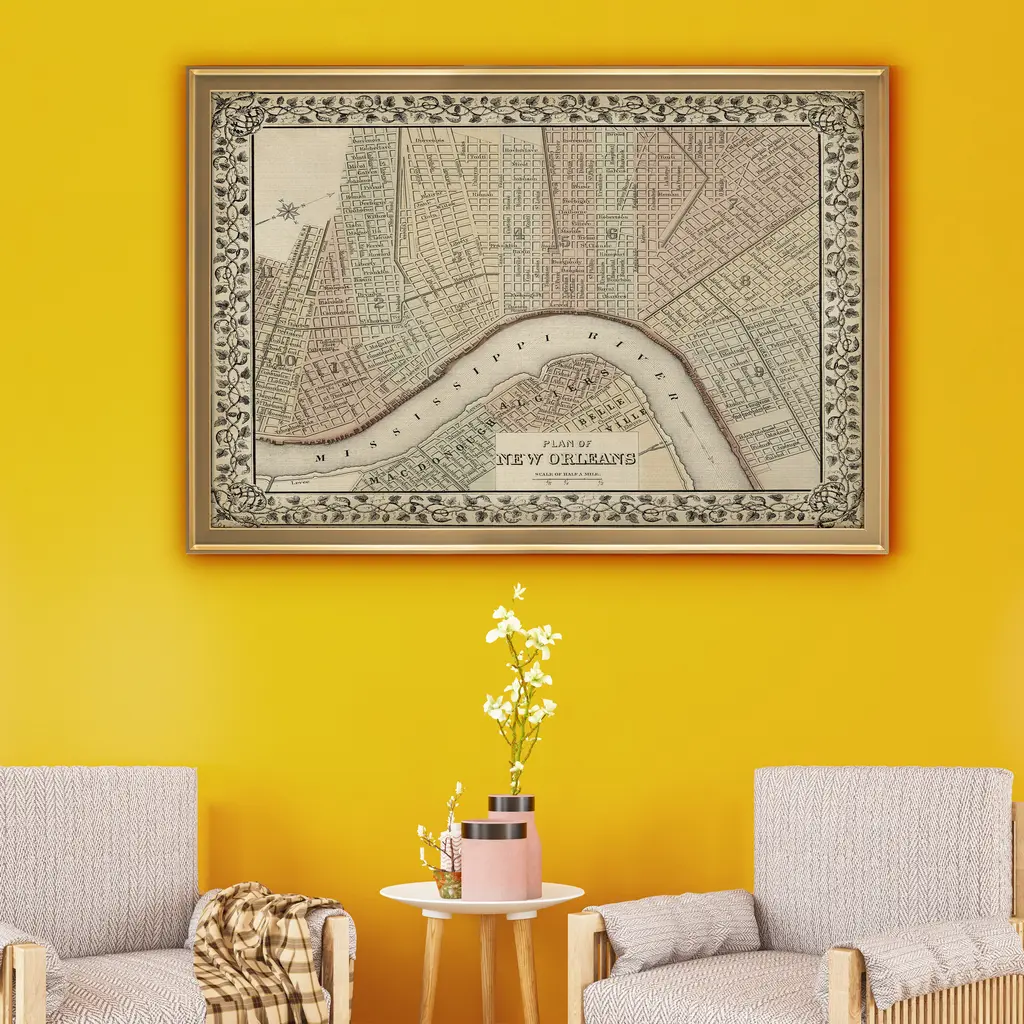
Produced by Thomas Gamaliel Bradford of Boston, Massachusetts by act of Congress in 1838 for the Clerk Office of Massachusetts. Sites and Townships Specific To This Map Are: Washington, Louisville, Jeffersonville, Cincinnati, and New Orleans. The following towns are featured: Washington, DC showing the plat, including the mall, along the Potomac and Eastern Branch. Louisville and Jeffersonville are on opposite sides of the Ohio River, in Kentucky and Indiana. Named streets are shown in Cincinnati, on the Ohio River. New Orleans, along the banks of the Mississippi River, shows the main part of the city of New Orleans, along with the other named sections of the city. This Map is Situated in: Orleans Parish, Louisiana (LA), Hamilton County, Ohio (OH), Jefferson County, Kentucky (KY), Clark County, Indiana (IN), & District of Columbia (DC). Thomas Gamaliel Bradford (1802-1887) was an American cartographer. The 1830s were a fascinating transitional period in the US and domestic cartographic publishing. Bradford's work is without question an important part of this era. Dimensions: 19.25" x 17.5" x .75" The Private Collection Traditional Collection Private Collection 19th Century Collection GrpC 7.27
Similar products