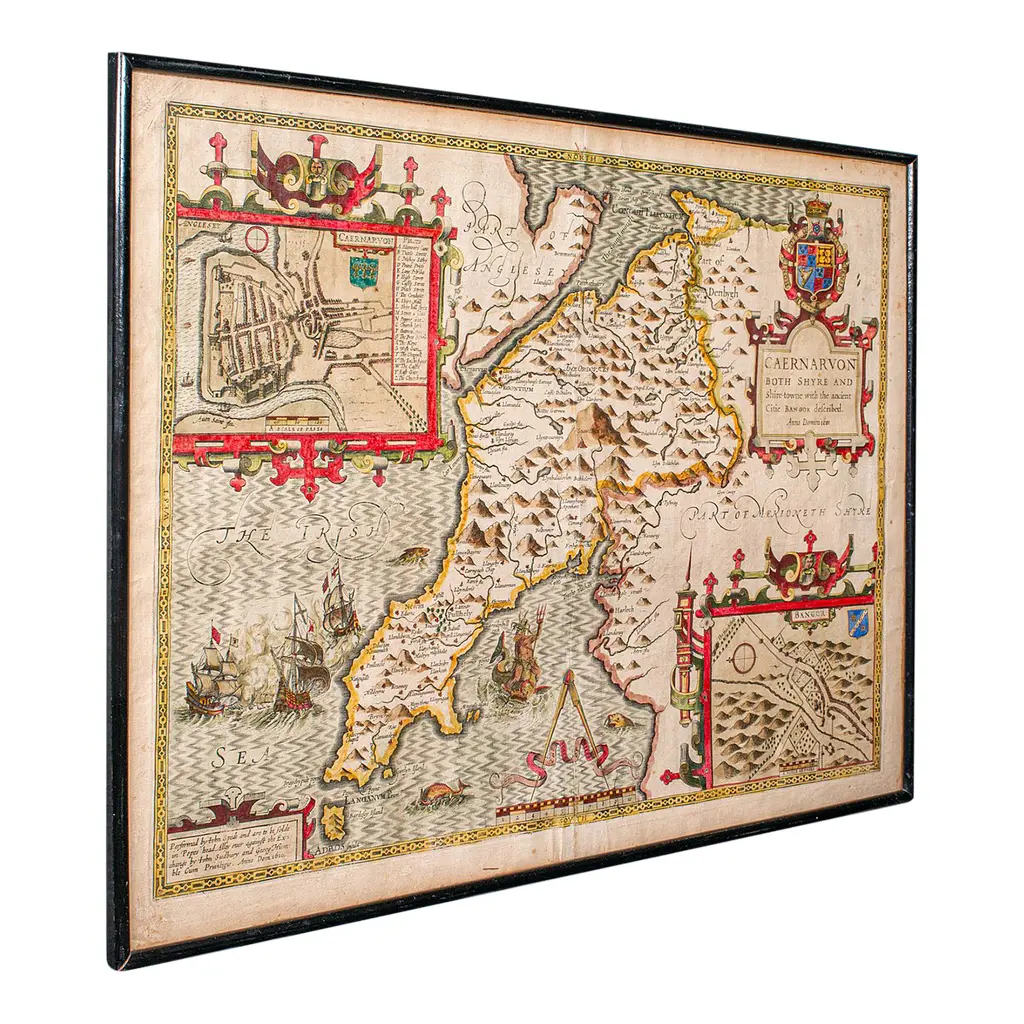
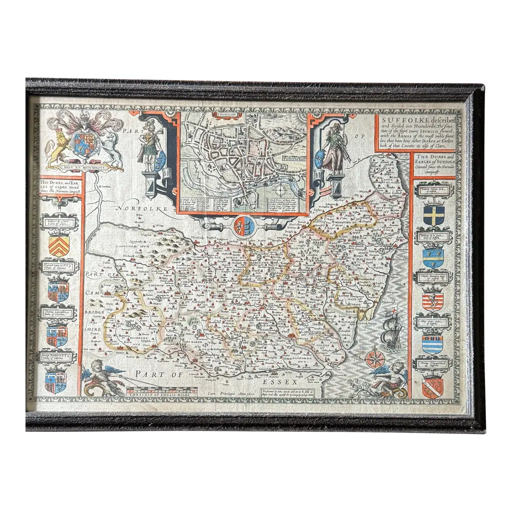
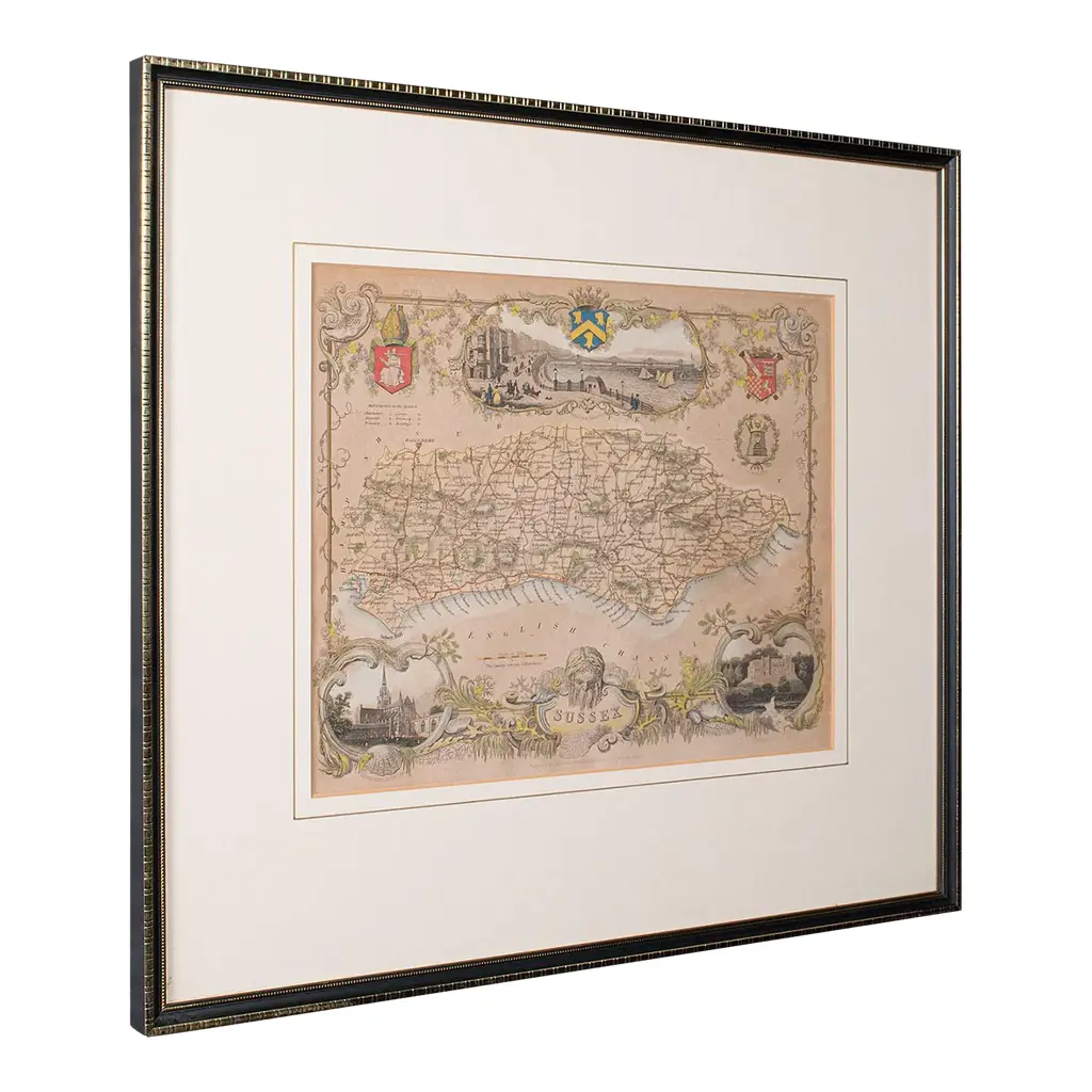
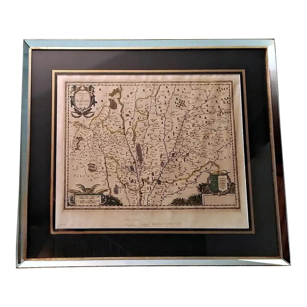
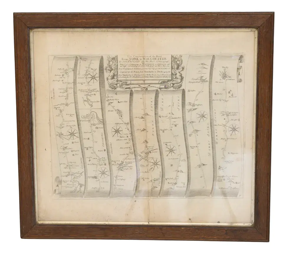
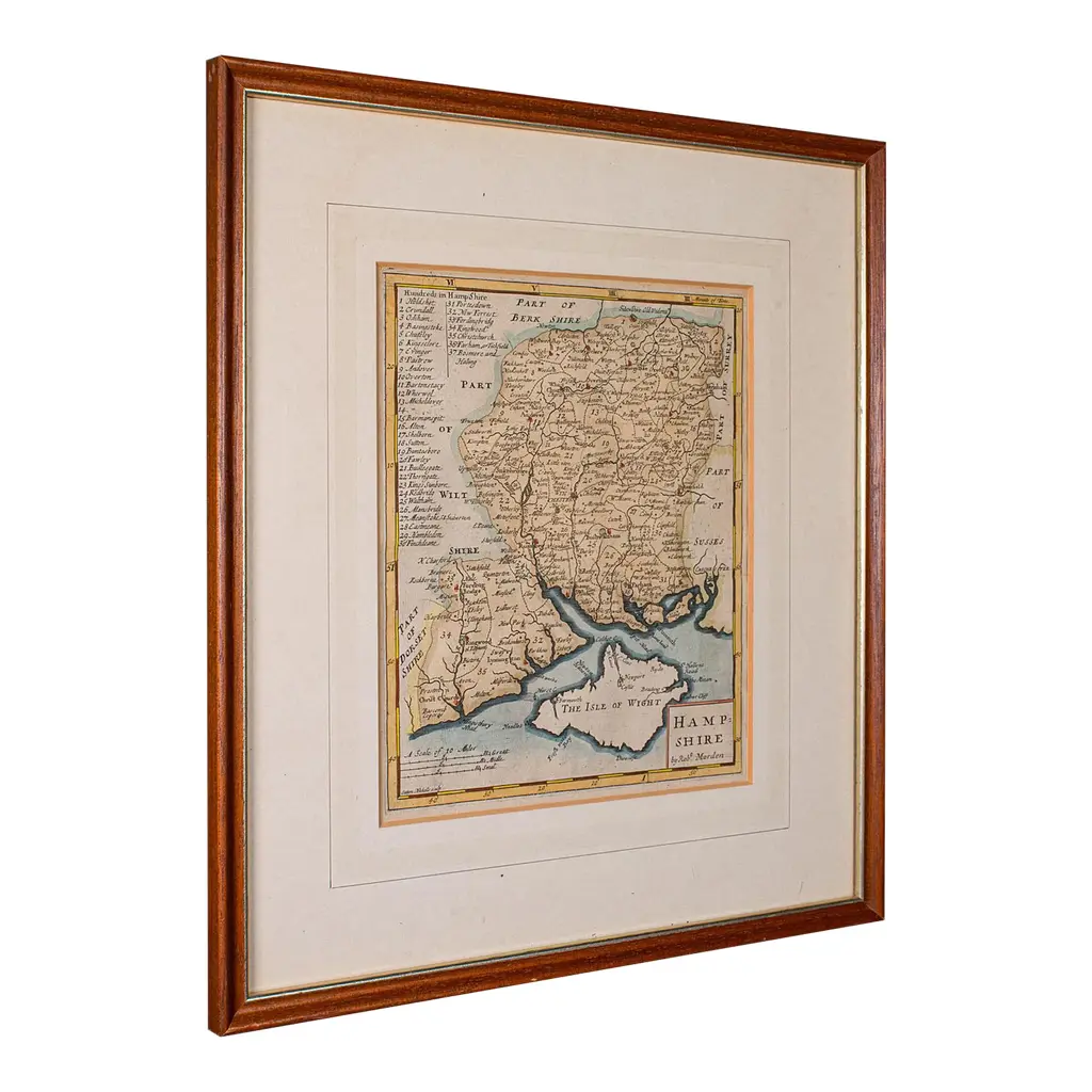
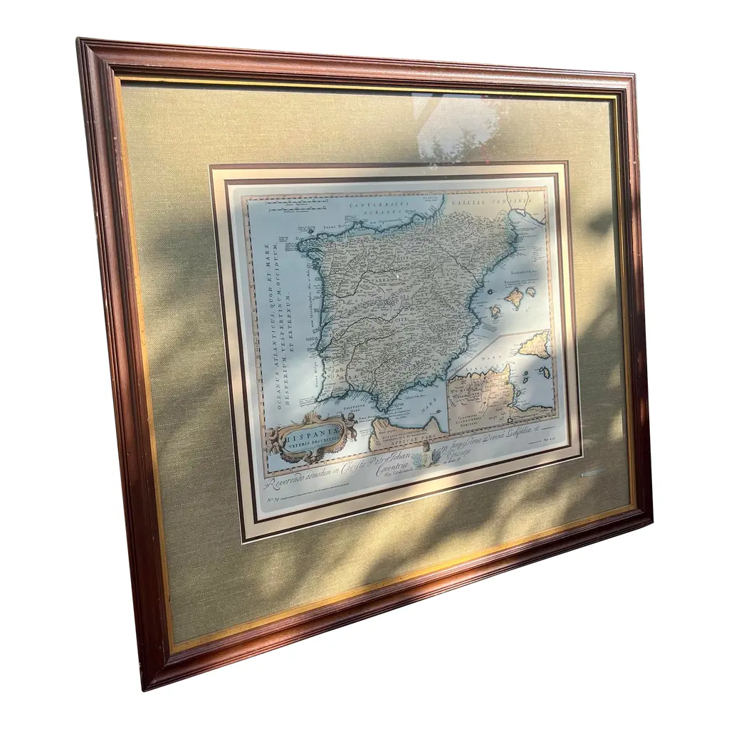
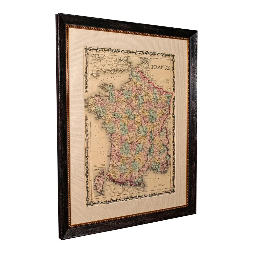
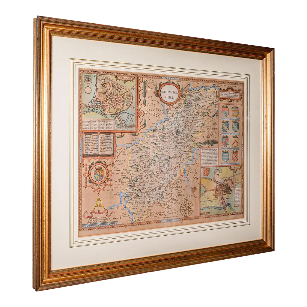
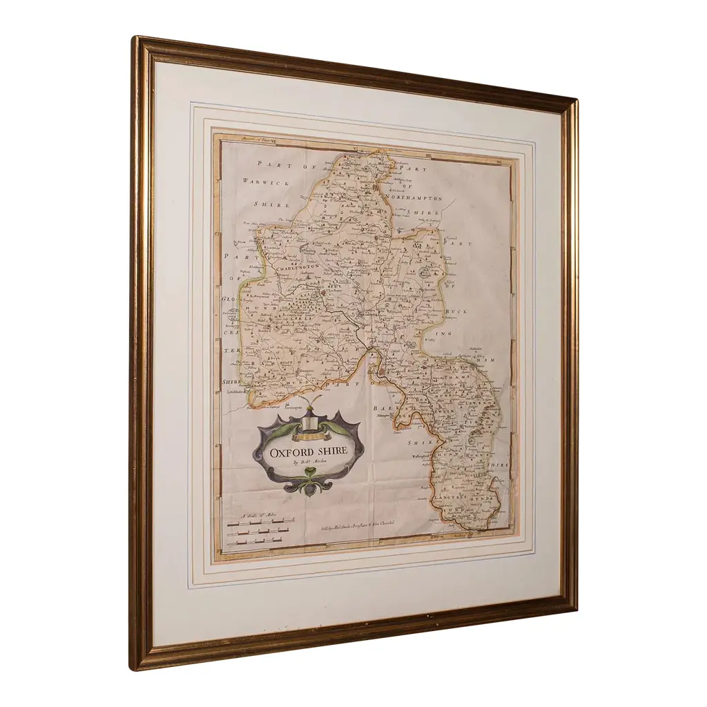
This is an antique lithography map of East Yorkshire. An English, framed atlas engraving of cartographic interest, dating to the mid 19th century and later. Superb lithography of the East Riding of Yorkshire and its county detail, perfect for display Displaying a desirable aged patina and in very good order Fascinating cartography, appealingly set within a quality, later frame Reference given to the administrative divisions within county County emblems, and places of interest in colour add fine illustrative detail Unmarked as such, but redolent of the Victorian period maps of Thomas Moule (1784-1851) Dressed to the rear with hanging cord for ease of mounting This is a quality antique lithography map of East Yorkshire, with fine cartographic interest. Delivered ready to display. Dimensions: Max Width: 41cm (16.25'') Max Depth: 1.5cm (.5'') Max Height: 35.5cm (14'') Map Width: 26.5cm (10.5'') Map Height: 20cm (7.75'')
Similar products