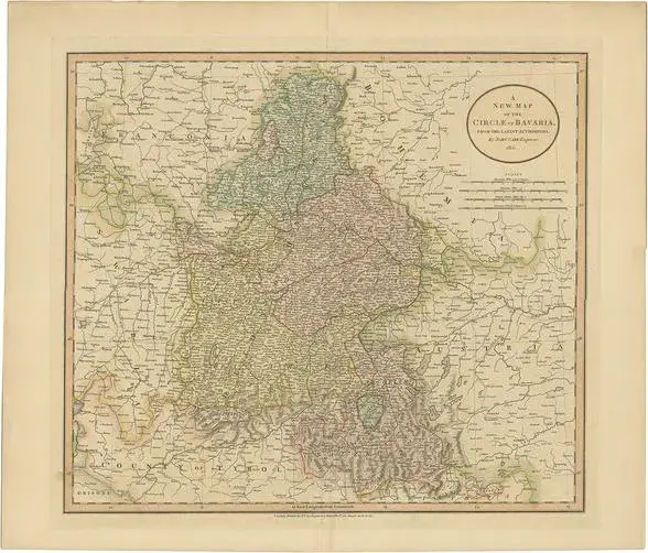
Original engraved hand-colored map from a mid-1800s History and Geography Atlas published in France. Shown is Mexico, Central America and the Antilles. Map is color coded to identify the country for each of the territories. Inset maps include St. Martin, Martinique and Guadeloupe. Map includes topography details and the route of the Gulf Stream. This is an original antique map. It is carefully packaged in an archival plastic sleeve with backing board. Includes a certificate with additional information. We combine multiple print purchases into a single shipment and will refund the excess shipping charge paid.
Ratings
5
Similar products