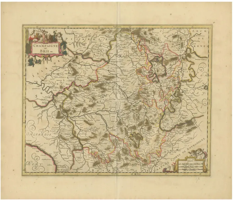
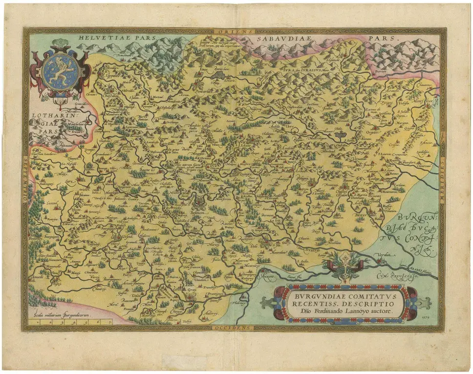
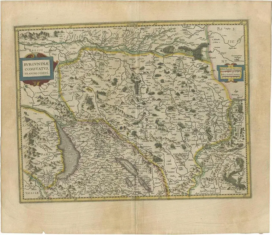
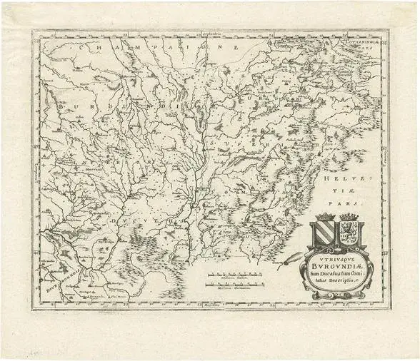
1584 Abraham Ortelius Map of Lower Burgundy, France of the Map: This antique map by Abraham Ortelius, titled "Bvrgvndiae Inferioris Qvae Dvcatvs Nomine Censetur Des," was published in 1584. It focuses on the region historically known as Lower Burgundy, which corresponds roughly to parts of modern-day eastern France. The map is detailed with geographical names, rivers, and settlements, and it is adorned with a decorative cartouche and a scale bar, both elements typical of the period. The coloration is done by hand, common in maps from this era. Maker: Abraham Ortelius was a prominent Flemish geographer and cartographer, considered one of the pioneers of modern cartography. He is most famous for creating the first modern atlas, the "Theatrum Orbis Terrarum." The map was published in 1584. Places or Areas on this Map Sought After by Collectors: Collectors of antique maps may specifically look for features such as the detailed depiction of the Burgundy region, including notable cities and towns like Dijon, Chalon-sur-Saône, and Auxonne. The decorative elements such as the ornate cartouche and the vibrant coloration also enhance its appeal. Condition of the Map: The map appears to be in good condition for its age. The colors remain vibrant, suggesting that it has been well-preserved, possibly kept away from direct sunlight. There are no visible signs of significant tears or water damage in the provided image. The paper shows slight signs of aging, such as marginal yellowing, which is typical and often expected by collectors.
Similar products