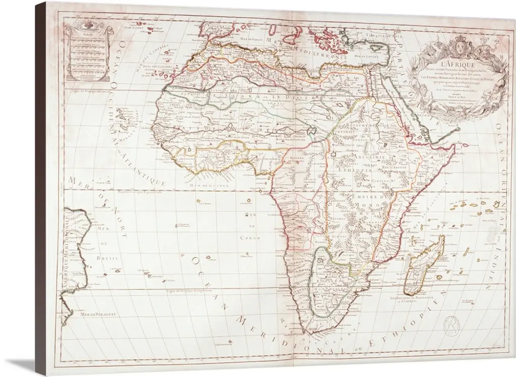
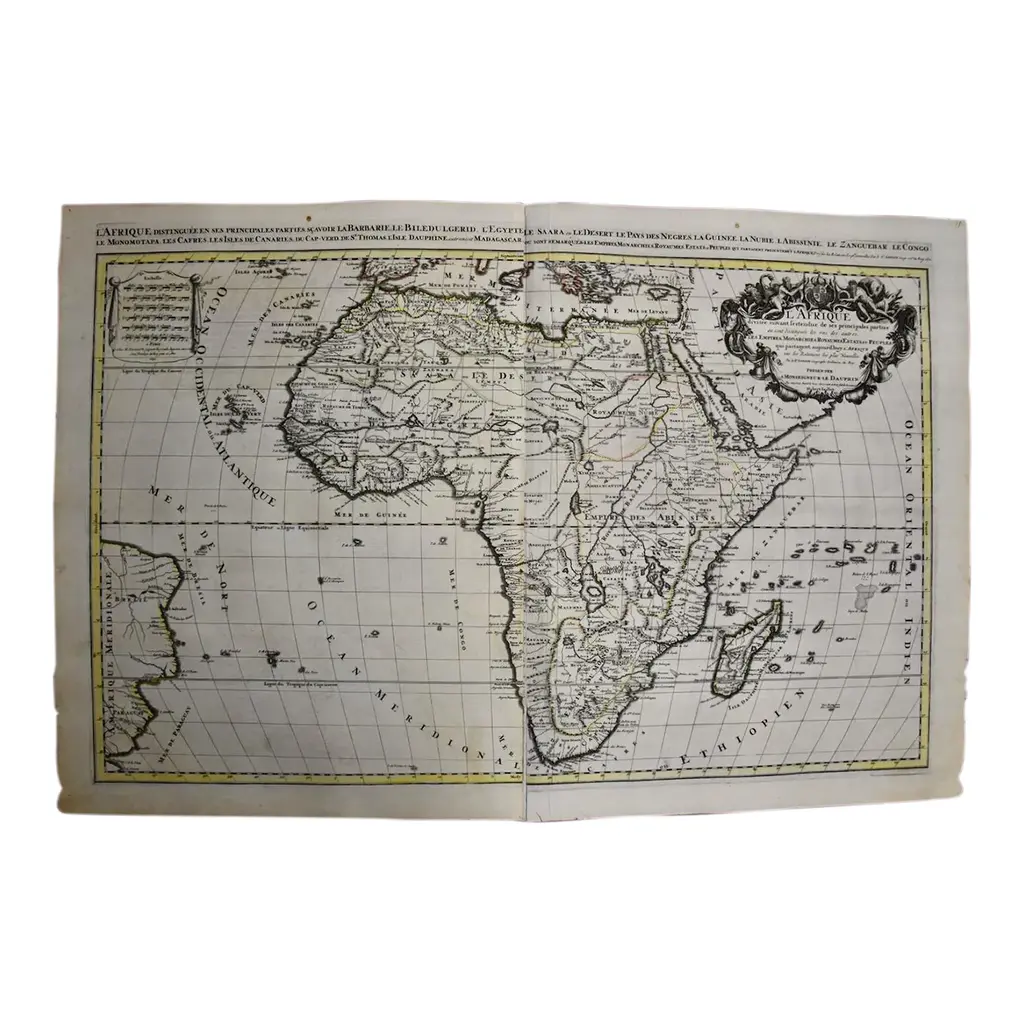
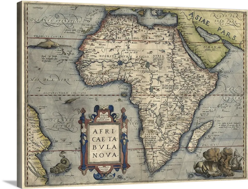
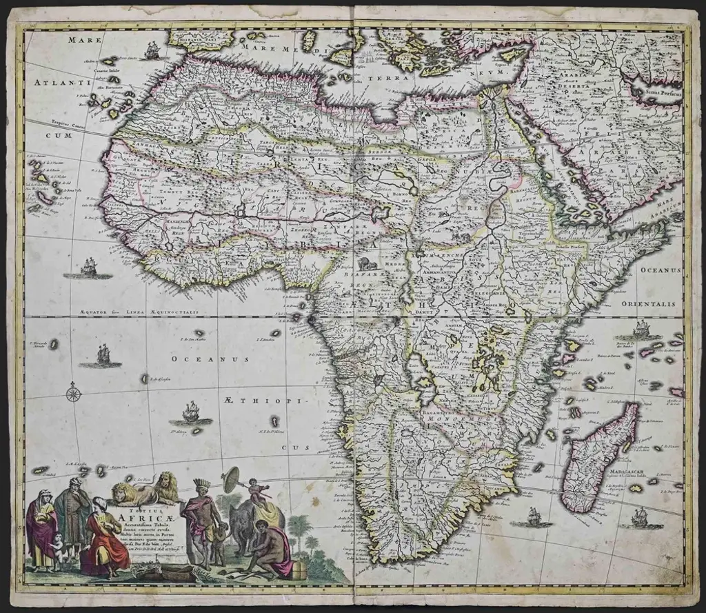
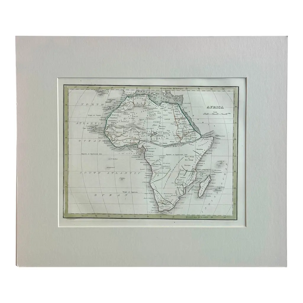
This original hand-colored copperplate engraved map of Africa entitled "Africa Vetus, Nicolai Sanson Christianiss Galliar Regis Geographi" was originally created by Nicholas Sanson d'Abbeville and published by his son Guillaume Sanson in Paris in 1696. It depicts the continent of Africa, Madagascar, the Canaries Islands, as well as several islands in the southern Atlantic and a small portion of Southern Europe. The Barbary Coast of North Africa is depicted in detail, as this area had been thoroughly explored by European and Arab traders. A decorative scalloped title cartouche in the right upper corner includes two winged putting abundant fruit. The origin of the Nile is shown to arise from two imaginary lakes, which is based on the ancient theory of Ptolemy. This original hand-colored copperplate engraved map of Africa is printed on antique hand-made watermarked, laid, chain-linked paper with wide margins. The sheet measures 18" high and 24" wide. There is a vertical fold, as issued. There are scattered small faint spots and two small smudges at the edge of the lower margin on the left. The map is otherwise in very good to excellent condition.Tr
Similar products