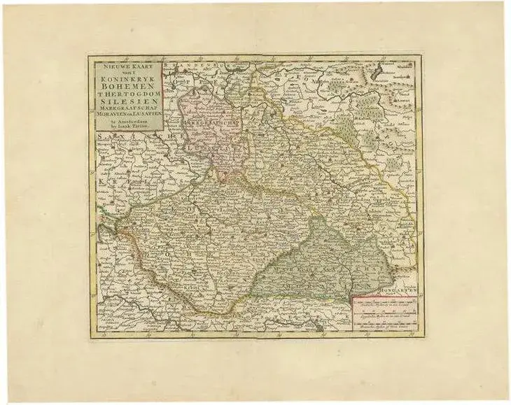
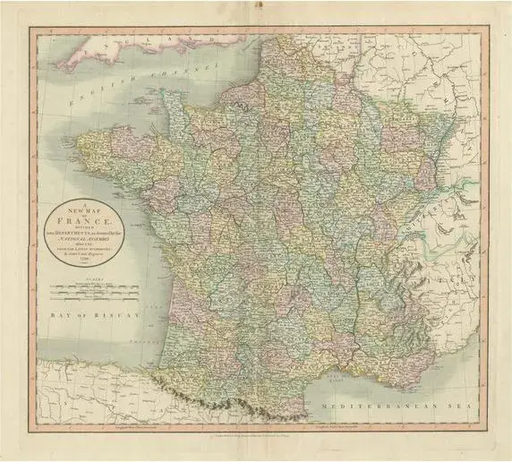
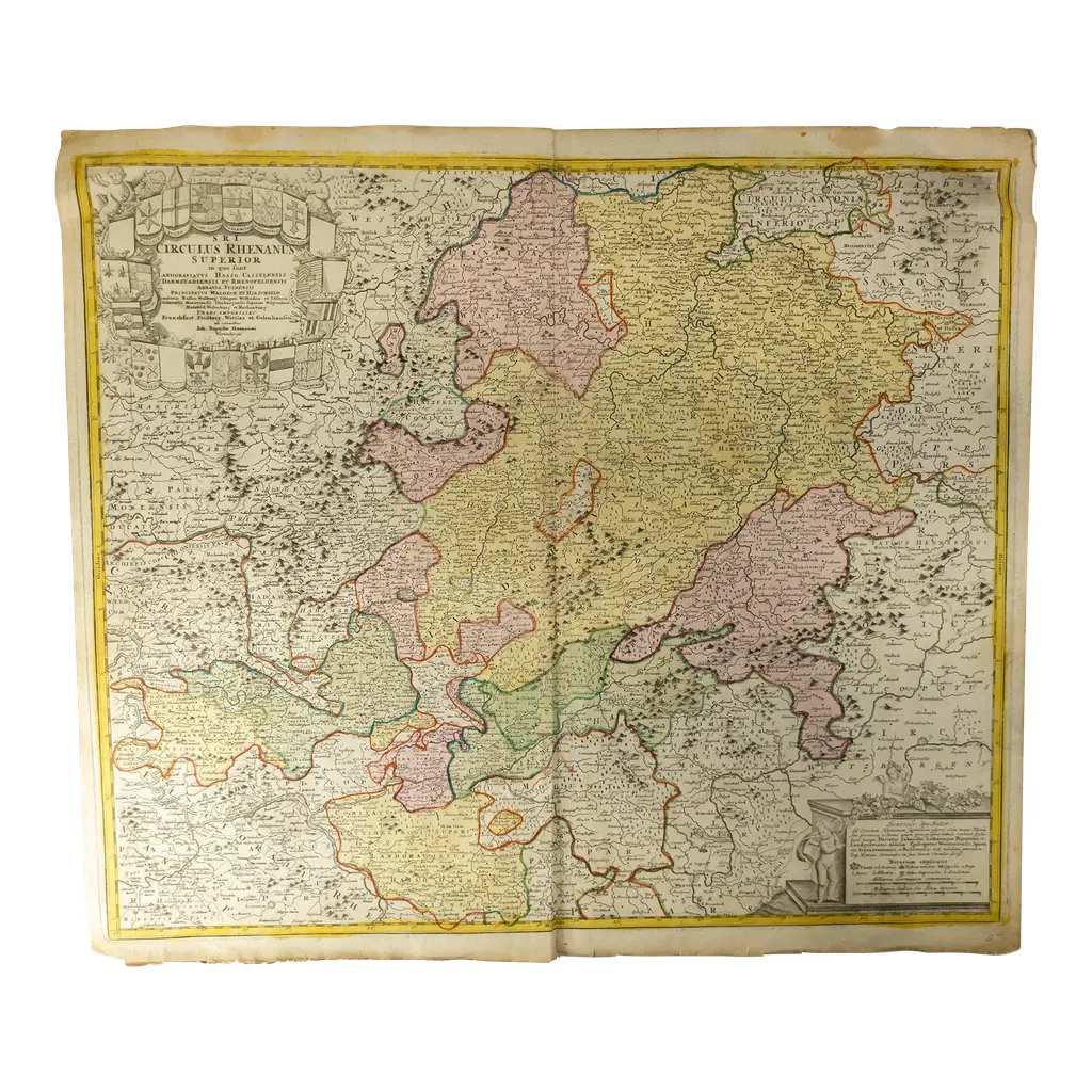
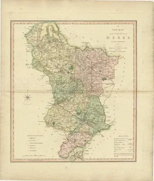
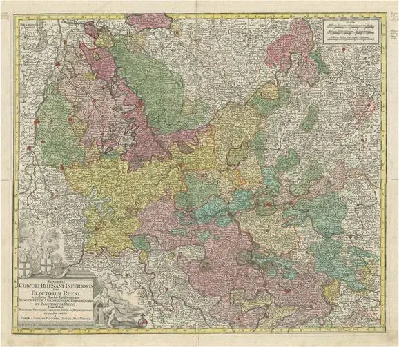
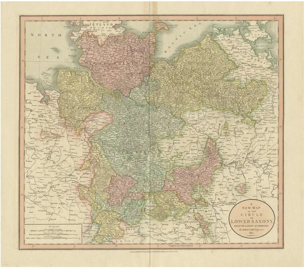
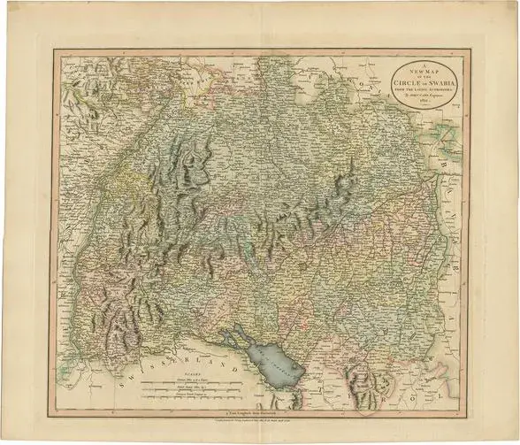
Antique map titled 'A New Map of the Circle of Franconia'. Detailed map of Franconia in Northwestern Germany. Covers from Upper Saxony south to Swabia, west to the Lower Rhine and west to the Bavaria. Includes the important mediaeval and renaissance center of Nuremburg. This piece is attributed to the mentioned designer/maker. It has no attribution mark and no official proof of authenticity, however it is well documented in design history. I take full responsibility for any authenticity issues arising from misattribution
RatingsNone
Similar products