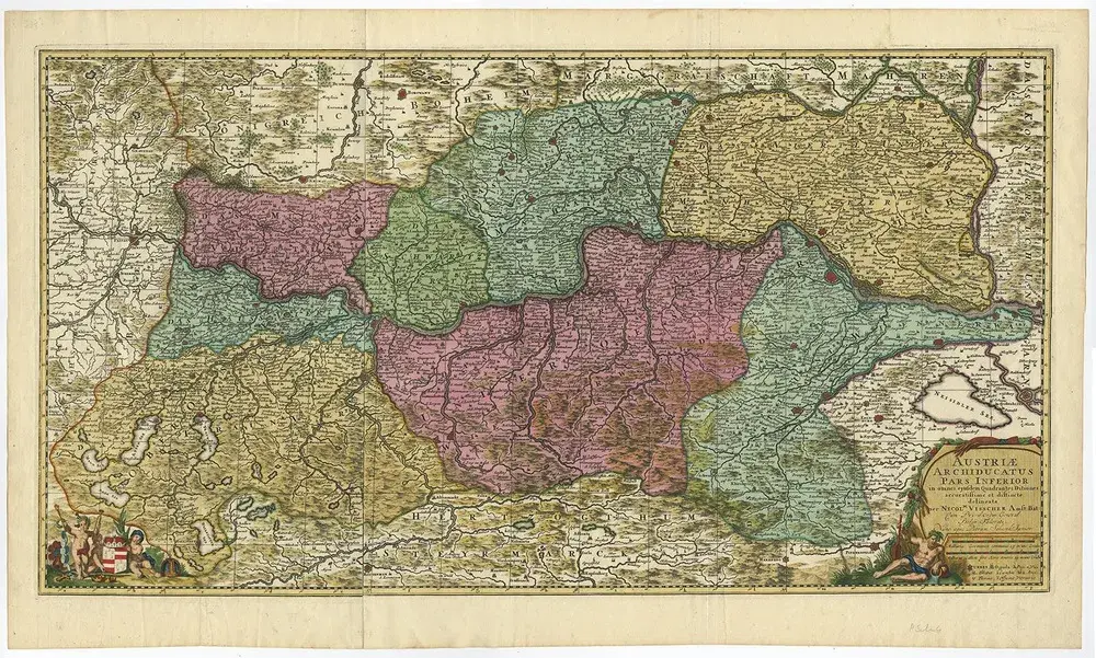
Antique map titled 'Frisia Dominum (?) Friesland, verdeeld in de hoof-delen van Oostergoo, Westergoo en Sevenwolde (?) XXX Grietenijen.' Detailed map of Friesland, Groningen and Drenthe, the northeast provinces of the Netherlands, with armorial cartouche, scale of miles, vignette of the "Steenen Man" near Harlingen and an inset map of the islands of Vlieland, Terschelling, Ameland and Schiermonnikoog. Fourth state, published after 1733. Artists and Engravers: Published by F. Halma, Leeuwarden. Artist: Published by F. Halma, Leeuwarden. Condition: Good, given age. Original middle fold, as issued. General age-related toning and/or occasional minor defects from handling. Please study image carefully. Date: c.1735 Overall size: 64.3 x 54.6 cm. Image size: 59.5 x 51.5 cm.
Similar products