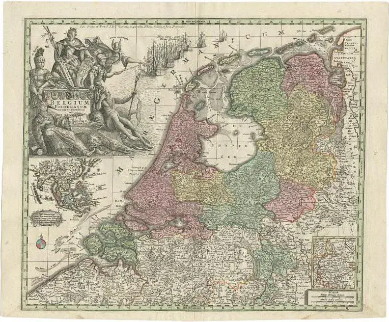
Antique map titled 'Tabula Generalis Totius Belgii Provinciae XVII. Infer. Germaniae (\.)'. Map of the Benelux countries by Johann Baptist Homann. Shows the area between the Seine estuary and the Ems. Among the provinces Flanders, Brabant, Luxembourg, Geldern and Limburg. In the center Brussels, Louvain, Maastricht and Liege. The decorative figural cartouche with the coat of arms of the provinces, Poseidon with Mercury and a globe with Southeast Asia (marked Ostindien) and the Pacific Ocean. This piece is attributed to the mentioned designer/maker. It has no attribution mark and no official proof of authenticity, however it is well documented in design history. I take full responsibility for any authenticity issues arising from misattribution
Similar products