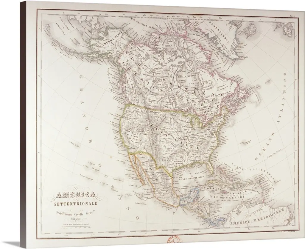
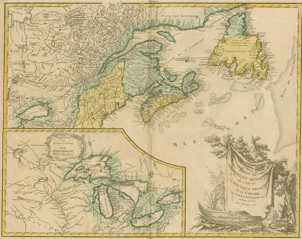
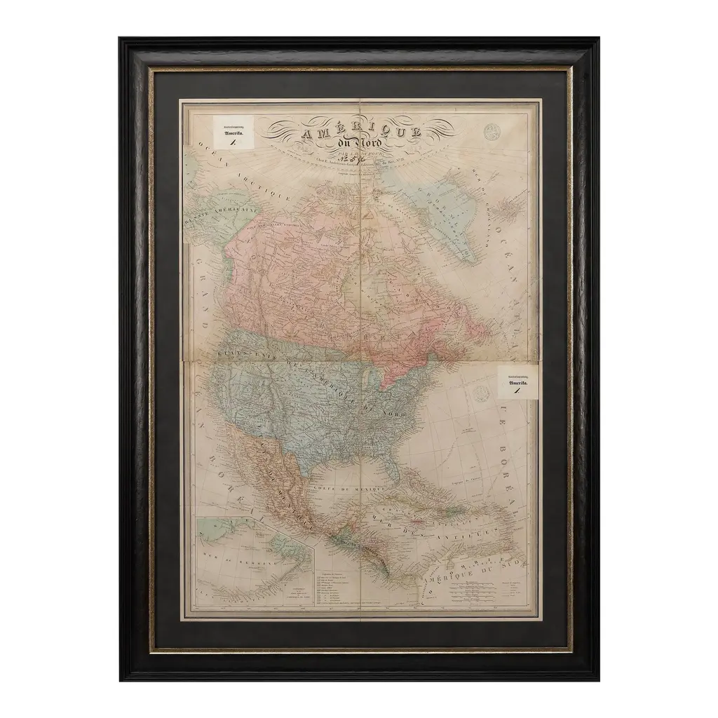
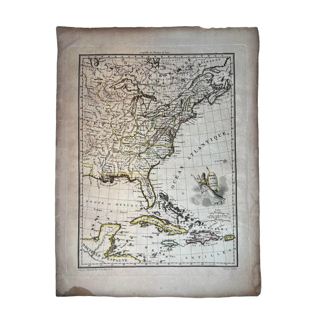
This antique map titled "Carte de la Partie Septentrionale des Etats Unis," created by Pierre Antoine Tardieu, depicts the northeastern part of the United States and parts of Canada. It focuses on the New England region, New York, and the surrounding areas, providing a detailed view of the geographical and political landscape of the early 19th century. Map Details: - Title: Carte de la Partie Septentrionale des Etats Unis - Creator: Pierre Antoine Tardieu (1784-1869) - Publication Date: Early 19th century - Dimensions: Approximately 34.5 x 43.5 cm (13.5 x 17.25 inches)
RatingsNone
Similar products