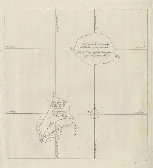
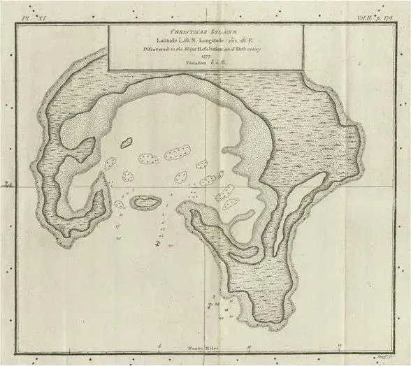
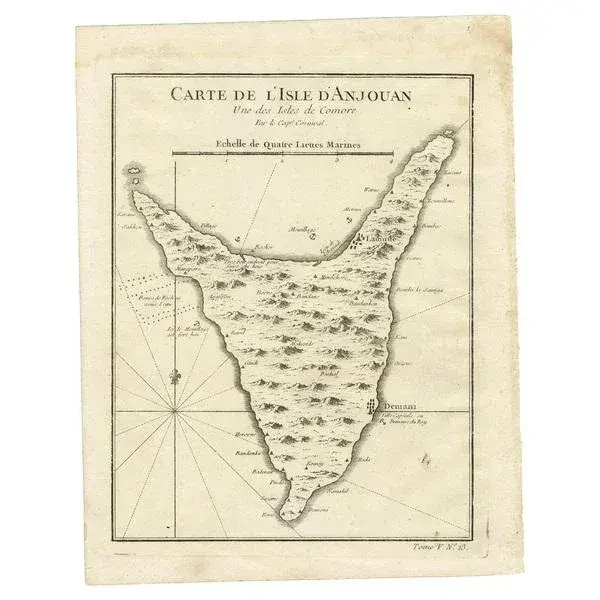
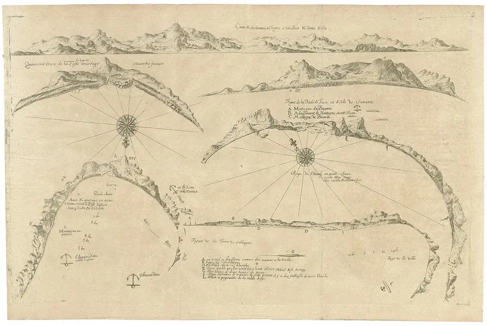
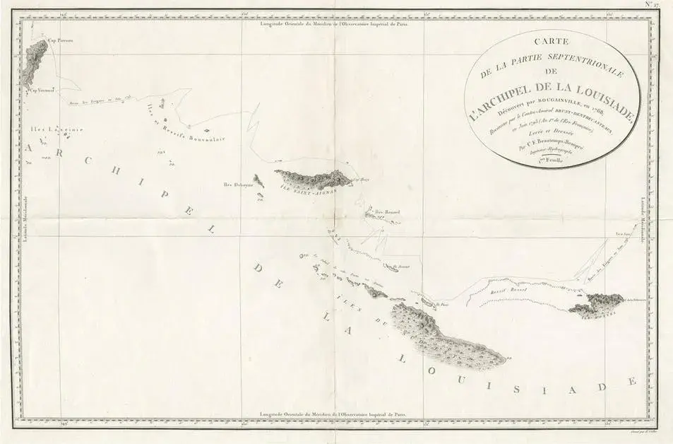
Antique map titled 'Walliss Inseln, Isles de Wallis'. Old map of the Wallis and Futuna Islands, officially Territory of the Wallis and Futuna Islands, French overseas territory. The main volcanic islands are Uvea (Wallis) and Futuna and Alofi (Hoorn); the capital and chief town is on Uvea. The island was named after an English navigator, Captain Samuel Wallis, who discovered it while sailing the HMS Dolphin on August 16, 1767, following his discovery of Tahiti. Condition: Good, few stains and some age-related toning. Please study image carefully. Date: 1778 Overall size: 21 x 27 cm. Image size: 18.5 x 20 cm.
RatingsNone
Similar products