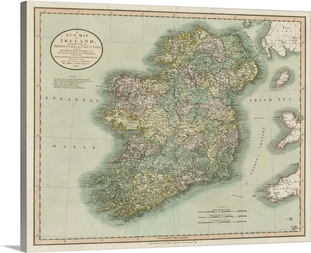
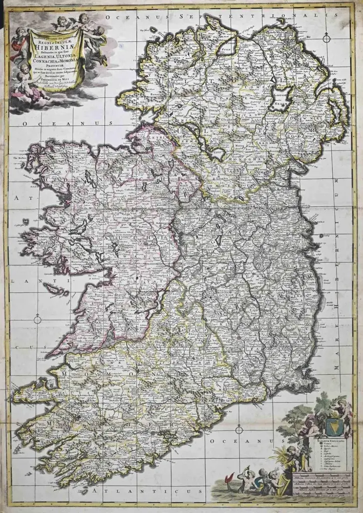
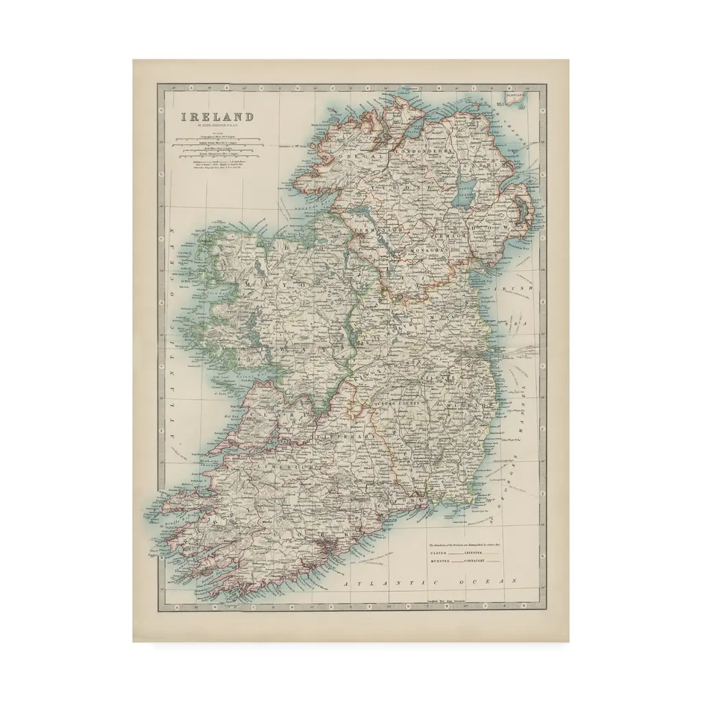
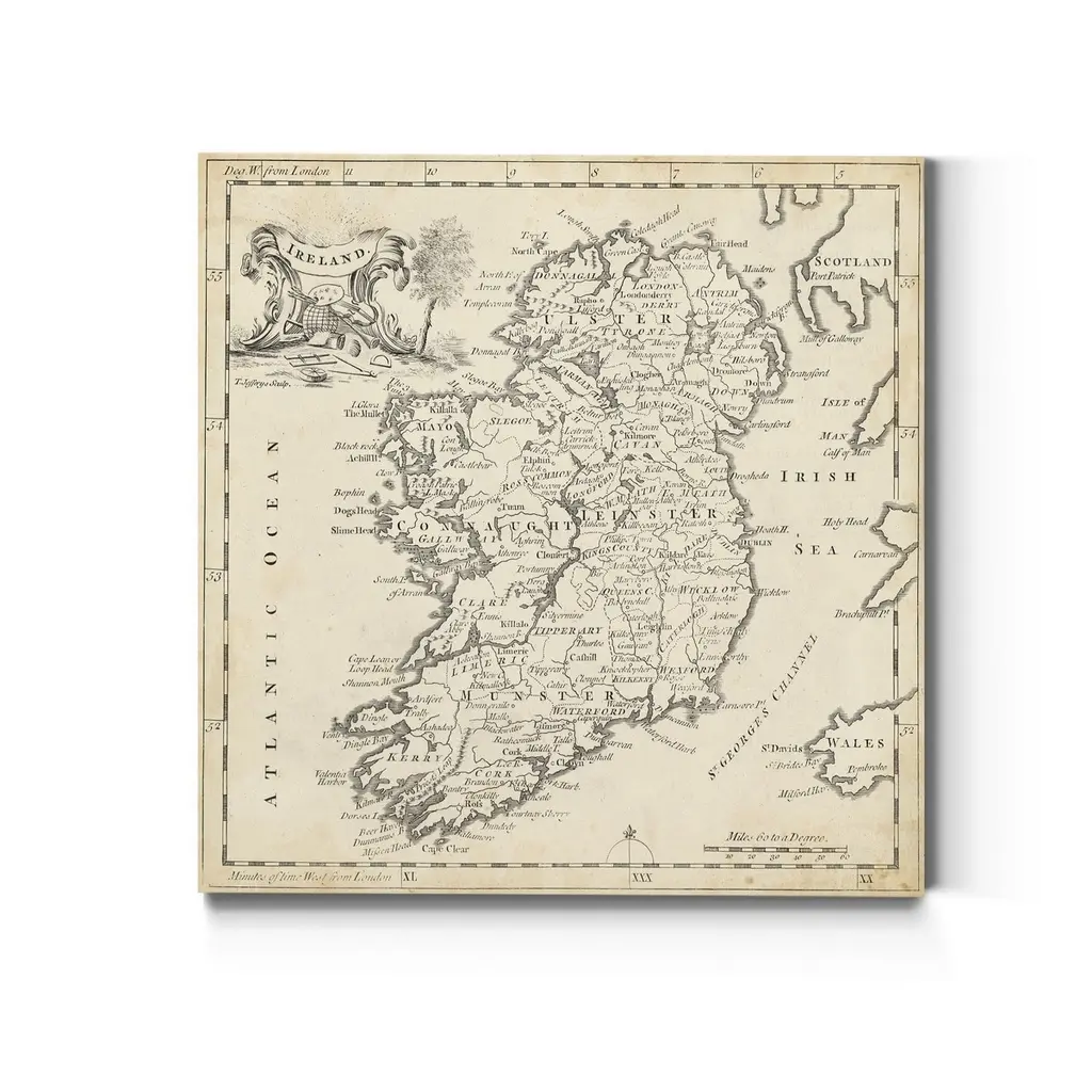
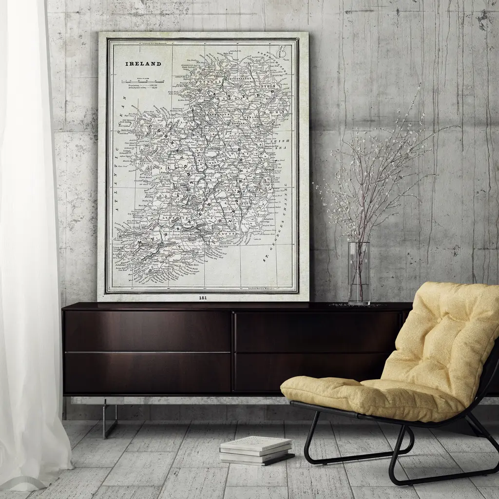
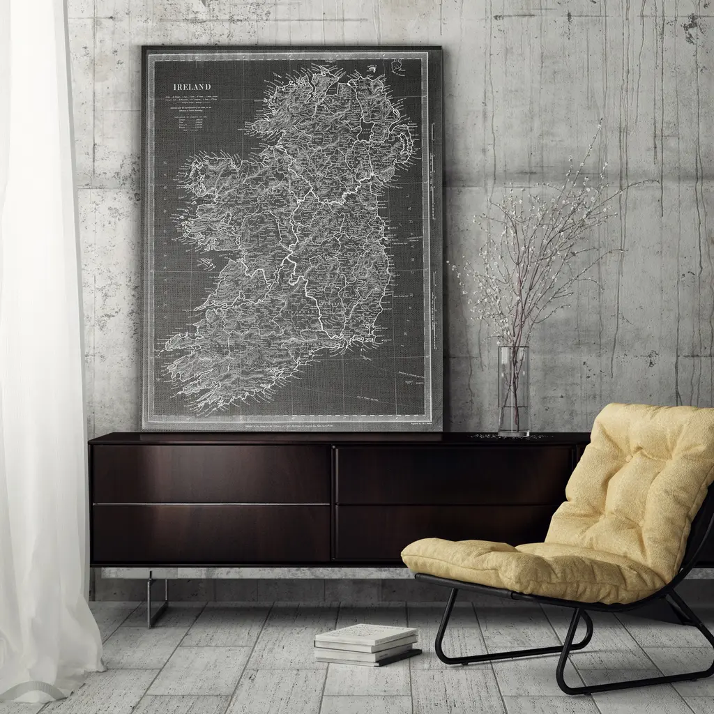
Title: 1882 Maps of Ireland: Northern and Southern Regions These two maps provide a detailed representation of Ireland as it was in 1882, divided into the northern and southern regions. The maps capture the geography, settlements, and political boundaries of the time, offering insight into Ireland’s historical landscape. The northern map focuses on areas including Ulster and parts of Connacht and Leinster. It highlights the rugged coastline, major cities like Belfast, and detailed rivers and lakes such as Lough Neagh. The intricate network of towns and smaller settlements illustrates the population distribution in the region. The southern map covers the provinces of Munster and parts of Leinster and Connacht. It includes major cities such as Dublin, Cork, and Limerick, along with their surrounding rural areas. The map highlights Ireland's agricultural heartland, as well as its rivers, such as the Shannon, and mountain ranges like the MacGillycuddy’s Reeks. Both maps include detailed labels for towns, geographical features, and administrative boundaries, providing a comprehensive view of Ireland’s regions in the late 19th century. Condition Report: The maps are in good condition for their age. The paper has developed a light creamy tone, characteristic of 19th-century cartography. Edges show minor wear, and there are slight fold lines, consistent with their use in an atlas. The printed details remain sharp and legible, and the original coloring, used to delineate counties and provinces, is vibrant and well-preserved. Tips on How to Frame These Maps: 1. Choose classic wooden frames with a natural or antique finish to match the historical character of the maps. Dark wood tones like mahogany or walnut work particularly well. 2. Use acid-free matting and backing to ensure the maps are protected from further aging or discoloration. 3. Opt for UV-protective glass to shield the maps from light exposure and prevent fading over time. 4. Consider float-mounting to showcase the maps' original edges or use a wide mat border for a clean, professional look. 5. Display the maps together vertically or side by side to emphasize their regional division. Recommended Matting Color: Neutral tones such as cream, light beige, or soft gray are ideal for matting. These colors complement the aged paper and subtle coloring of the maps without overpowering them. A muted green or soft gold mat can also evoke Ireland’s natural landscape and add a refined touch to the presentation. Avoid overly bright or bold colors, as they can detract from the historical charm of the maps.
Similar products