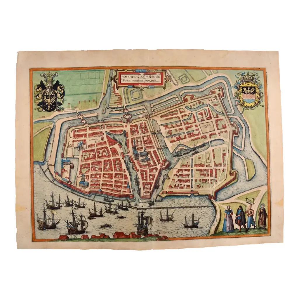
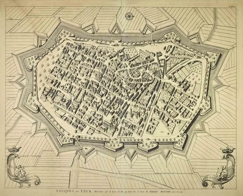
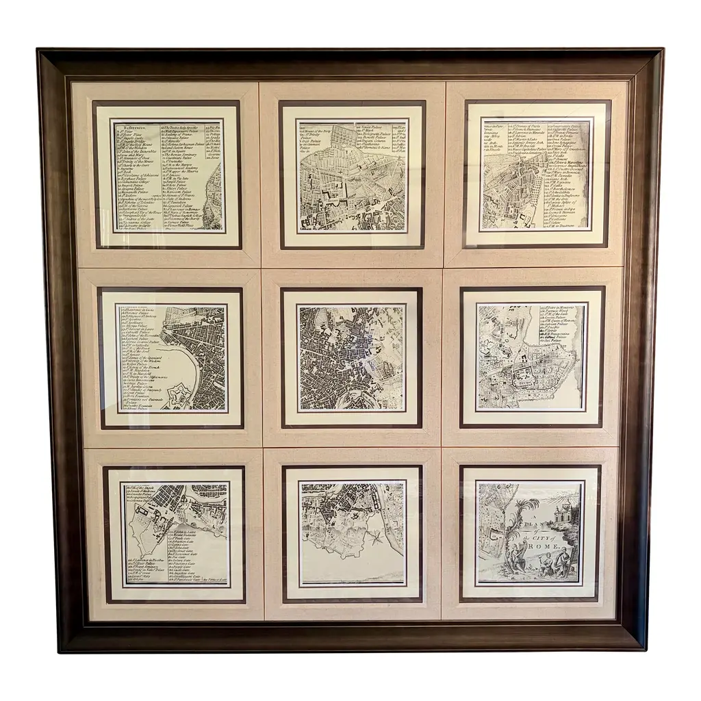
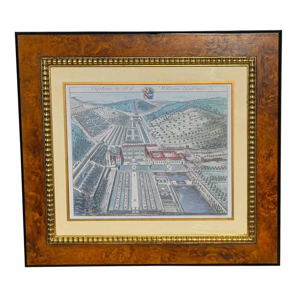
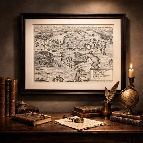
Antique map titled 'Grondkaart der stad Rotterdam (\.)'. Original antique city plan of Rotterdam, the Netherlands. Published circa 1850. Artists and Engravers: Published by Van der Meer en Verbruggen. Condition: Good, general age-related toning. Minor wear and foxing. Frame included, few small defects. Please study image carefully. Date: c.1850 Overall size: 75 x 70 cm Image size: 53 x 46 cm
RatingsNone
Similar products