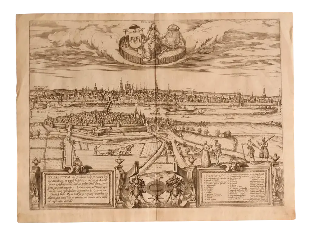
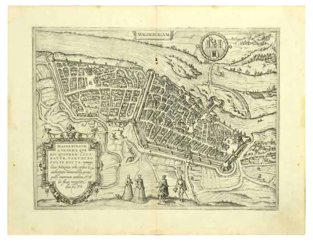
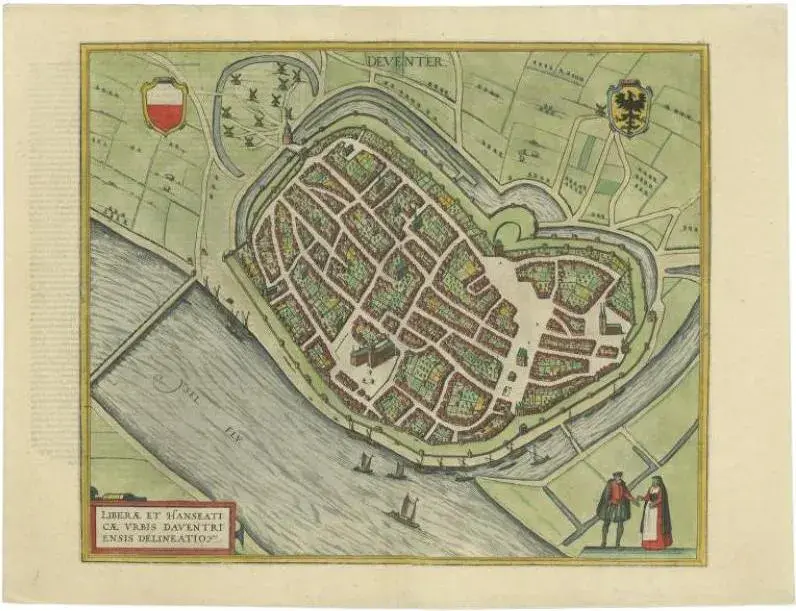
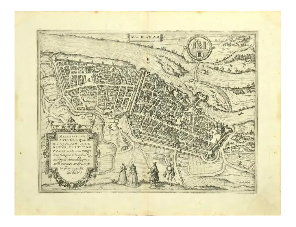
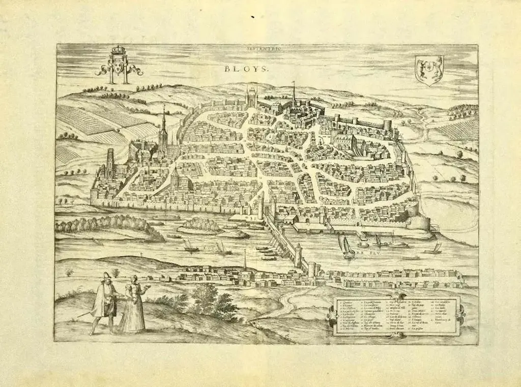
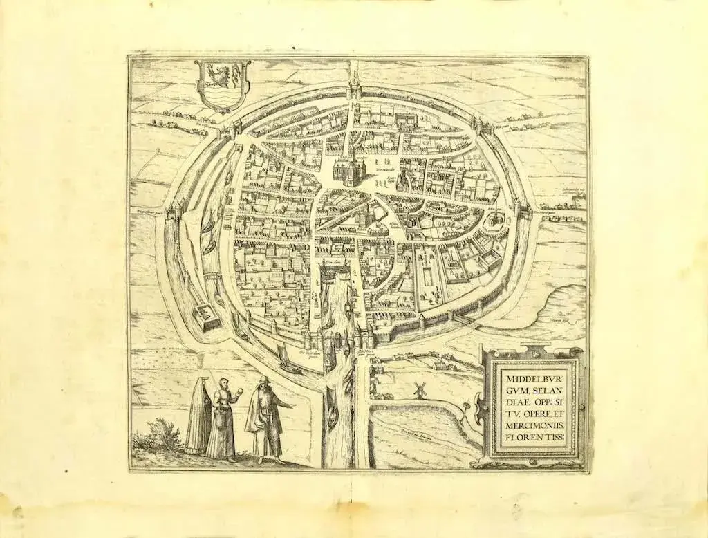
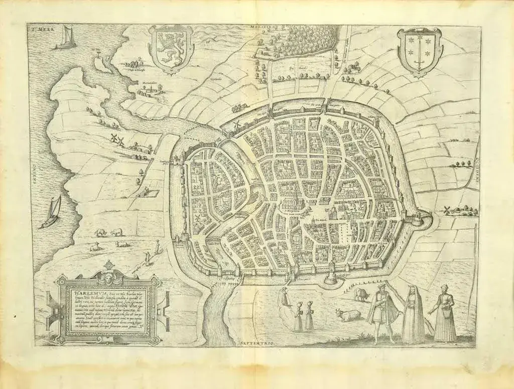
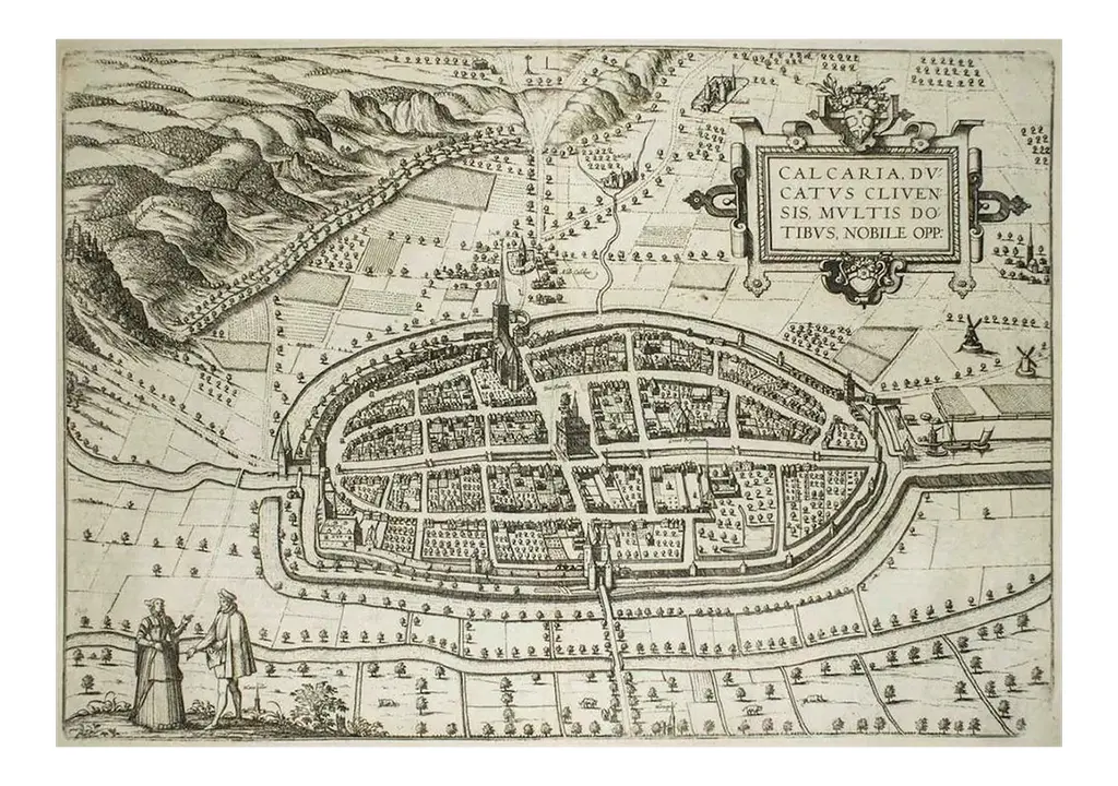
This map of Groninga is an original etching realized by George Braun and Franz Hogenberg, and part of the series ''Civitates Orbis Terrarum''. The state of preservation of the artwork is aged with diffused foxings and the middle lne on the folding had been cut and is partially repaired. Sheet dimension :33.5 x 49.5 Interesting B/W etching on coeval paper, this artwork represents skilfully a detailed view of the city ofGroninga through confident strokes. ''Groninga'' is printed on the lower left. The “Civitates Orbis Terrarum” (Atlas of Cities of the World) was the second oldest printed atlas in the history of world cartography and the first atlas totally dedicated to topographical views. The first volume of this collection was published in Cologne in 1572; the others in 1575, 1581, 1588, and 1598. The sixth and final volume appeared in 1617, just before the extensive devastation wreaked by the Thirty Years’ War. This piece is attributed to the mentioned designer/maker. It has no attribution mark and no official proof of authenticity, however it is well documented in design history. I take full responsibility for any authenticity issues arising from misattribution
Similar products