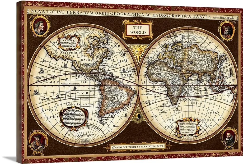
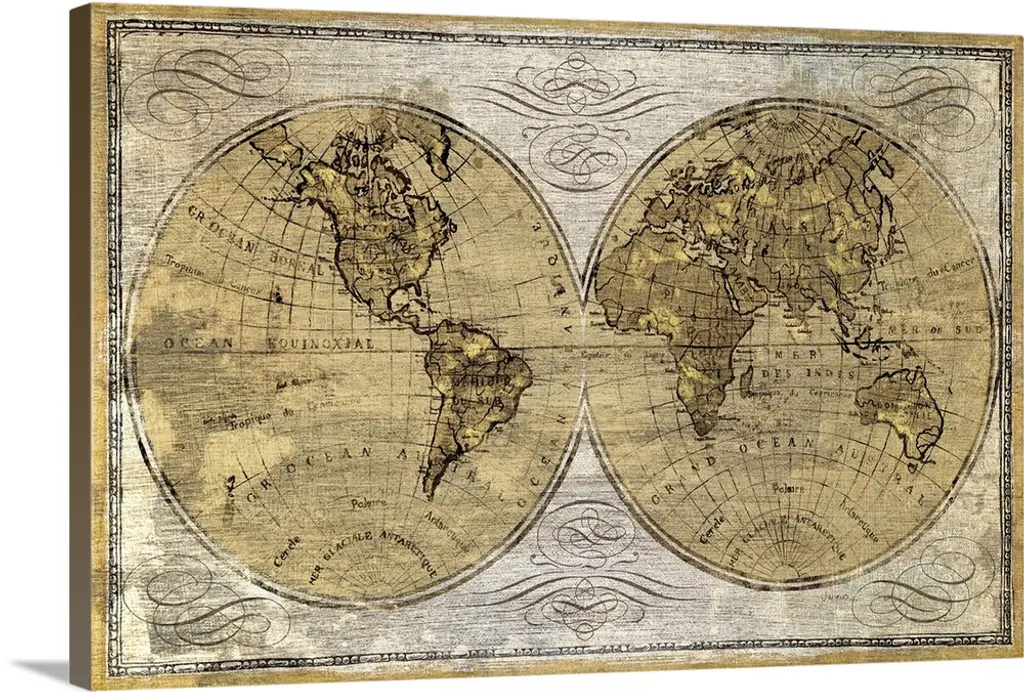
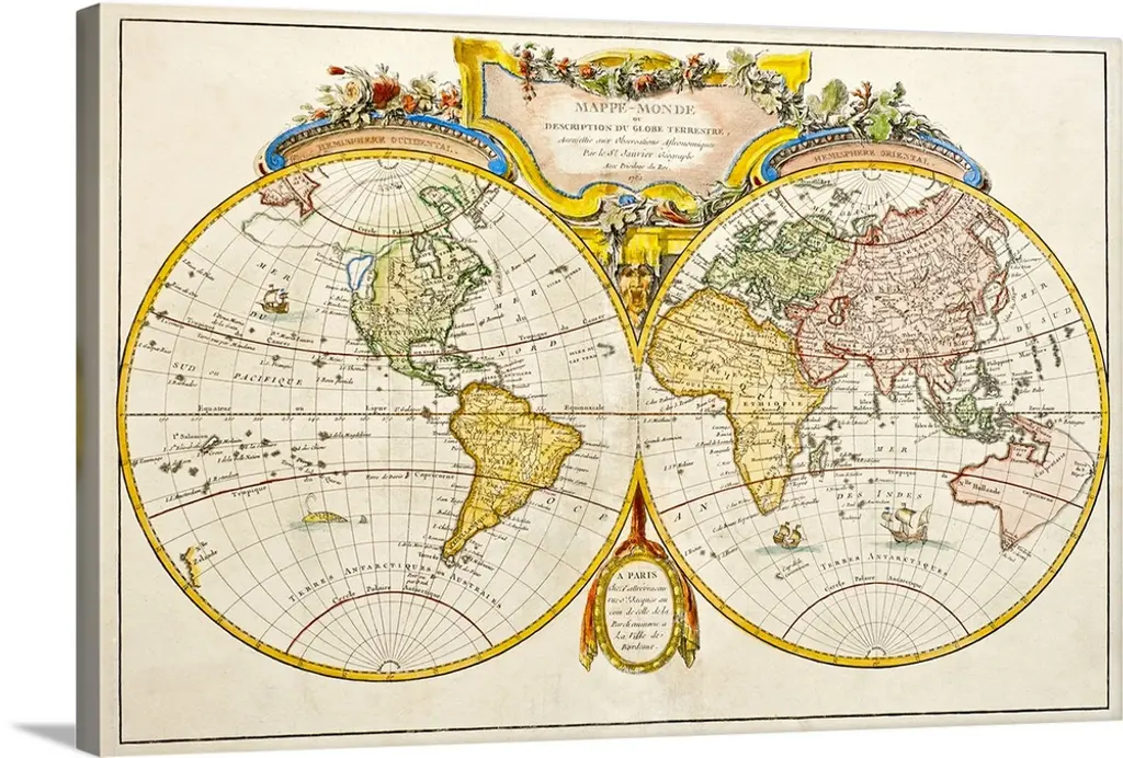
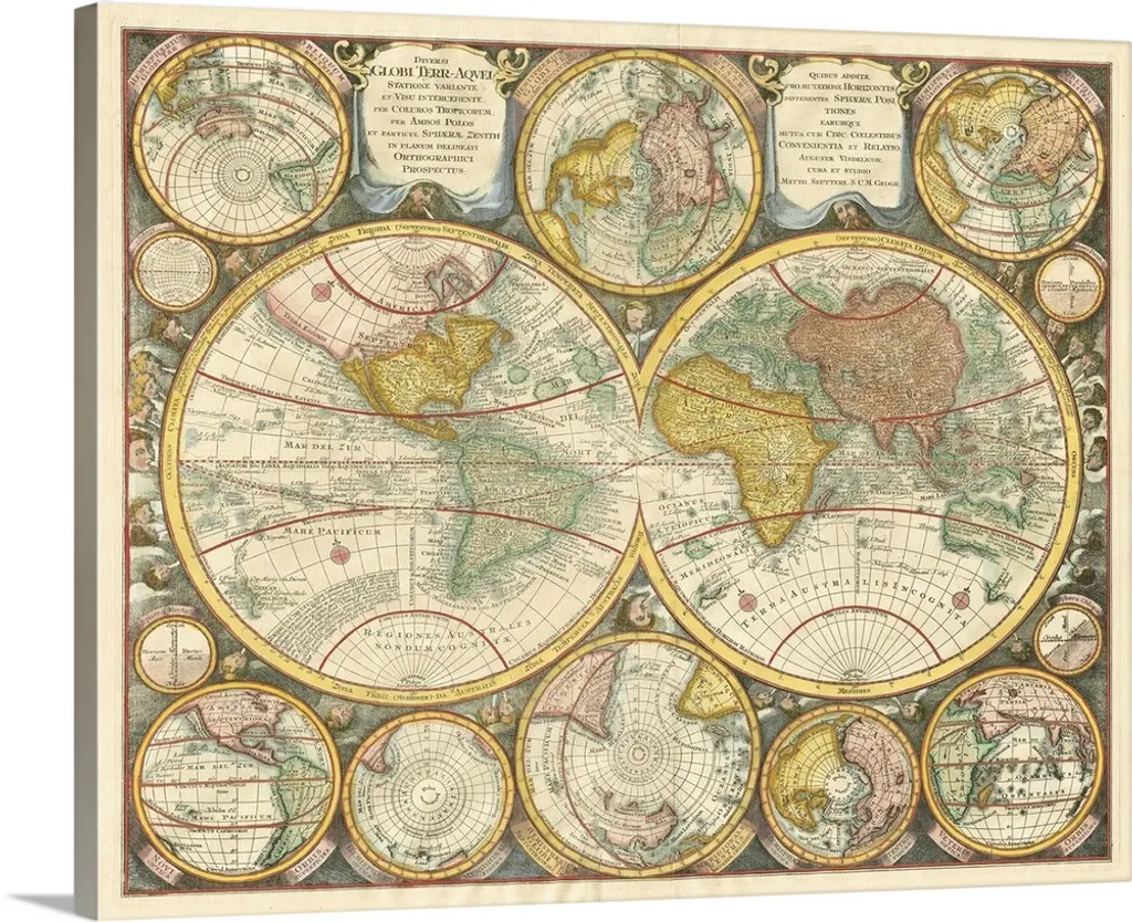
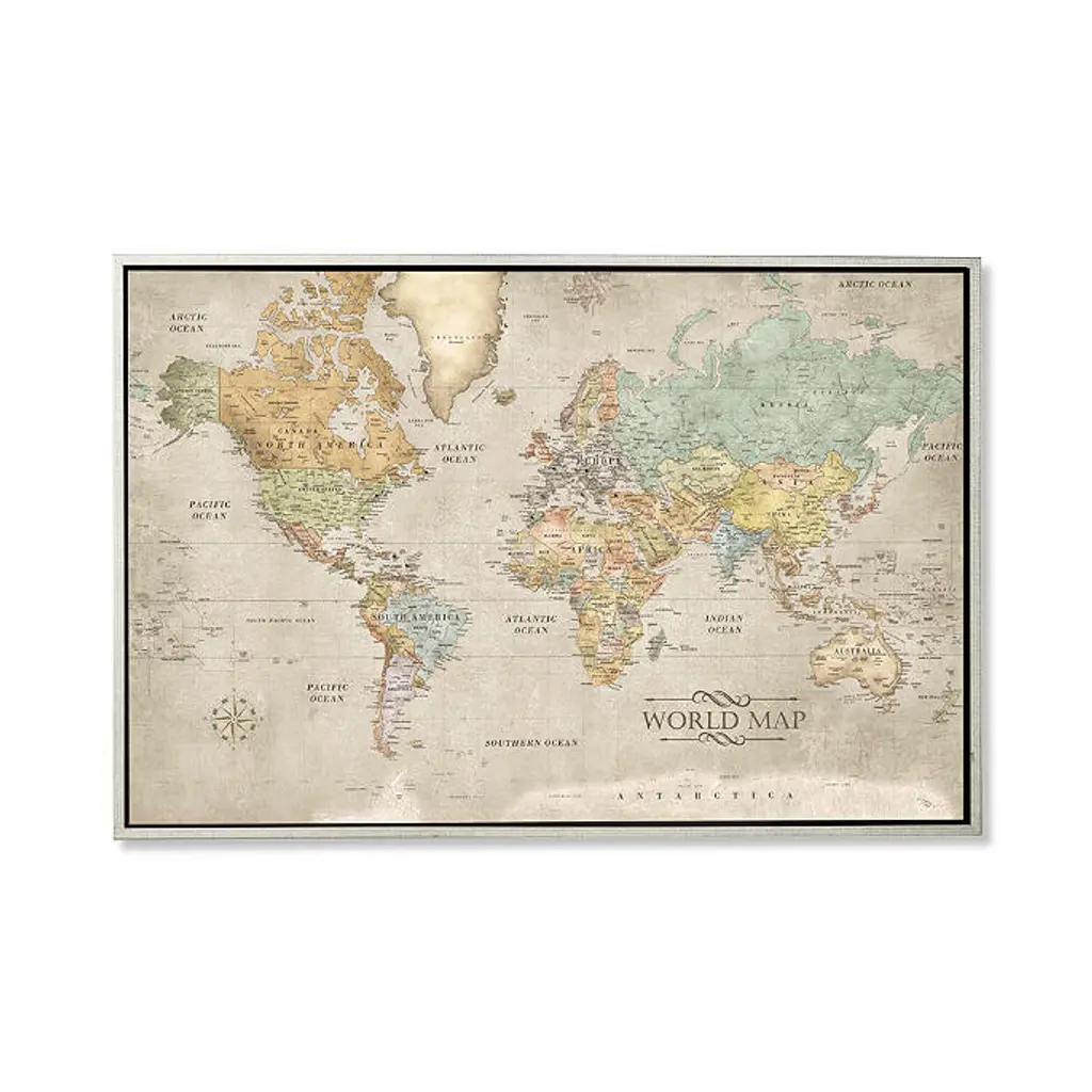
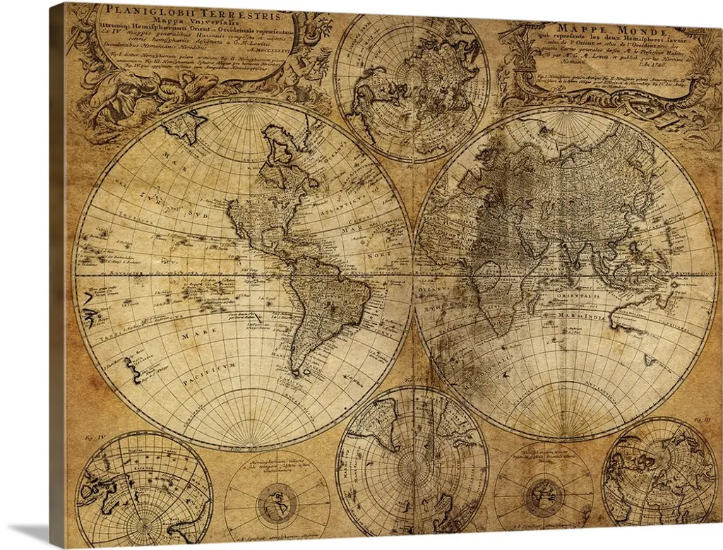
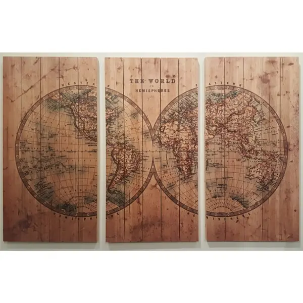
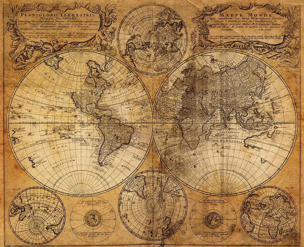
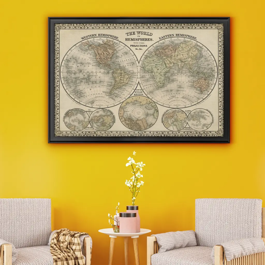
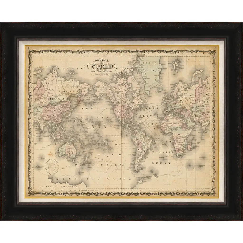
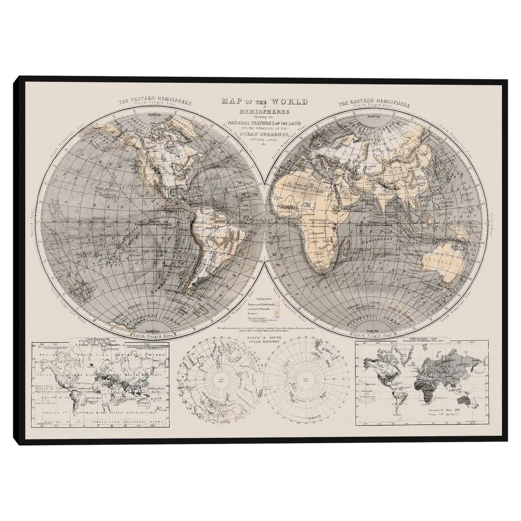
A beautiful set of six framed engravings depicting geographical maps of the five continents and a world map, enhanced with color. These engravings come from a map atlas created by Guillaume de L'Isle and the printer Jeremiah Wolff. Guillaume de L'Isle (1675-1726) was a French geographer and cartographer renowned for his highly detailed maps, executed with precision and rigor, and based on astronomy. Appointed First Geographer to the King and a member of the Royal Academy of Sciences, he had the privilege of teaching geography to the young King Louis XV. Jeremiah Wolff (1663-1724), the printer, initially established his reputation as a clockmaker and automaton maker in Augsburg before becoming the leading printer of his time. This series of engravings is framed in 20th-century frames of green and gold lacquered wood. Please note: some wear to the frames, stains, holes, creases, and browning to the paper. Dimensions with frame: 72 x 59 x 5 cm Dimensions without frame: approximately 64.5 x 51.5 cm This piece has an attribution mark, I am sure that it is completely authentic and take full responsibility for any authenticity issues arising from misattribution
Similar products