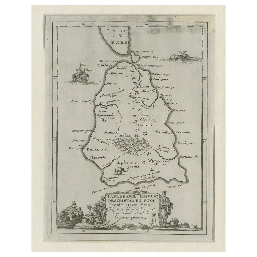
This is a fascinating woodcut map titled *Taprobana*, depicting the island of Sumatra, hand-colored, and published in Venice in 1606. The map originates from Giovanni Battista Ramusio’s renowned collection, *Delle navigationi et viaggi,* a seminal work in the history of exploration and travel literature. This third edition features maps and accounts illustrating the geographical knowledge of the early 17th century. The map is numbered "371" in the top margin, likely correlating with its placement within Ramusio’s volume. The verso is blank, with no accompanying text, and remnants of former hinges suggest it was once bound in its original publication. This map, representing Sumatra, was created during a time when the island played a crucial role in the spice trade and was often confused with other islands in European cartographic representations. Rich in detail, the map shows geographic features, settlements, and imaginative embellishments, including ships and sea creatures, that were typical of early cartography. Its artistic appeal is heightened by the hand-coloring, which adds vibrancy to the woodcut design. The map of *Taprobana* (Sumatra) features several notable places and islands, including: Places on the Main Island (Sumatra): - Poro - Batta - Campar - Andraghiri - La Pahan - Barros - Pedir - Achem (Aceh) - Polimban (Palembang) - Manancabo (Minangkabau) - Malacca (referenced as nearby) Nearby Islands and Features: - Banca (Bangka) - La gran isola - La Mazzarete - La Fornicata - Linea del Equi (Equator line) These locations reflect the geographical and cultural significance of Sumatra and surrounding regions during the early 17th century, emphasizing its importance in the spice trade and maritime navigation. Condition: The map is in very good condition with clear impressions and vibrant coloring. Minor remnants of previous binding do not detract from its aesthetic or historical value. Collectors and scholars will appreciate this map for its rarity, connection to Ramusio’s influential work, and its artistic and historical significance as an early European representation of Sumatra. This piece is a remarkable example of 17th-century cartographic art, reflecting the interplay of exploration, trade, and geography during the Age of Discovery.
Similar products