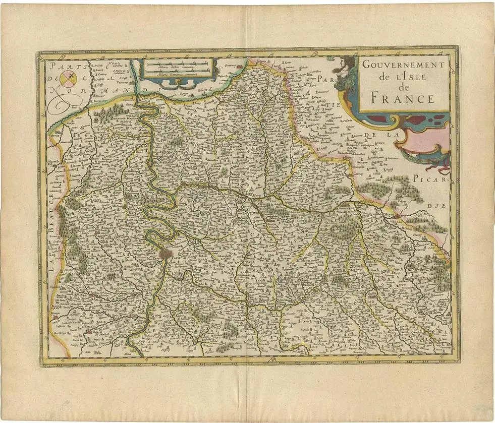
Title: Hand-Colored 17th-Century Map of Île-de-France by Frederik De Wit c. 1688 : This striking map, "Le Gouvernement de l’Isle de France," showcases the Île-de-France region during the late 17th century. Created by the renowned cartographer Frederik De Wit and published circa 1688, this piece is an exceptional example of Dutch cartographic artistry during its golden age. The map features intricate engraving and original hand-coloring, depicting towns, rivers, forests, and borders with remarkable precision. Two detailed cartouches add elegance to this piece. The top left corner features a crowned coat of arms of France, while the bottom right boasts an ornate design held by two angels, symbolizing the regal and spiritual significance of the region. Scenes of classical figures and cartographic tools adorn the lower left corner, enhancing the map's visual appeal. Île-de-France, the region surrounding Paris, has long been the political and cultural heart of France, making this map historically and geographically significant. Frederik De Wit’s maps are celebrated for their craftsmanship and accuracy, and this work exemplifies his ability to merge practical cartography with decorative art. Part of De Wit’s composite atlases, this map is a testament to the cartographer's skill and the era's demand for both functional and aesthetically pleasing maps. Condition Report: The map is in very good condition, with bright original hand-coloring. Minor imperfections, such as faint foxing and slight toning, are consistent with its age.
Similar products