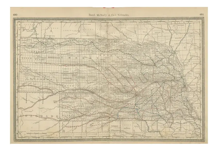
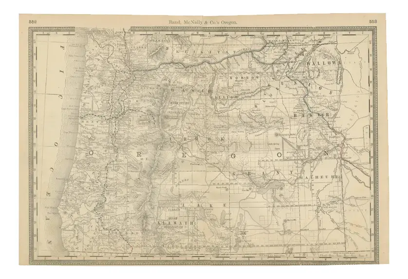
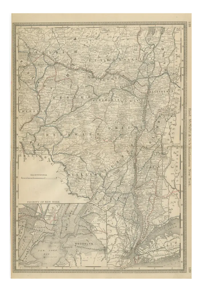
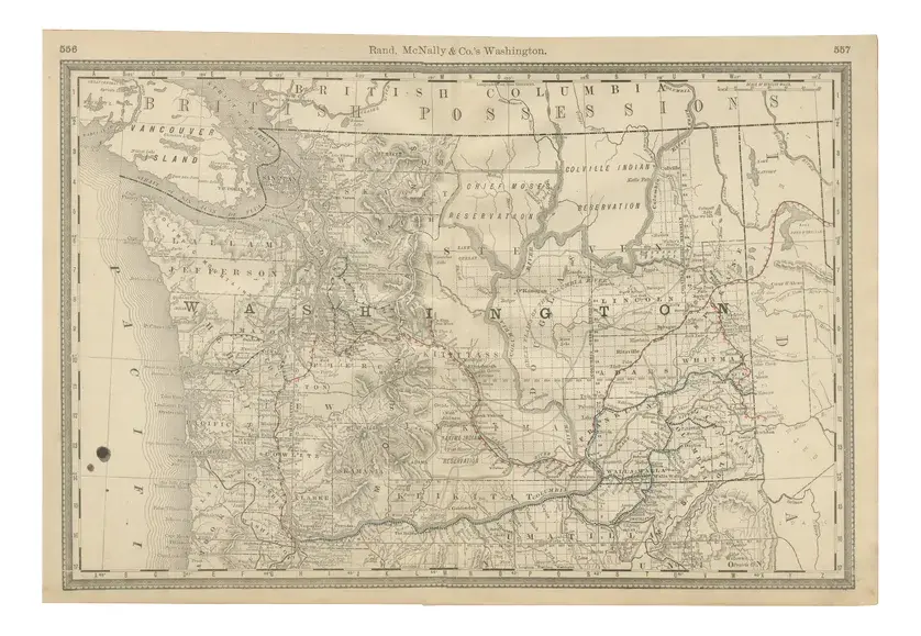
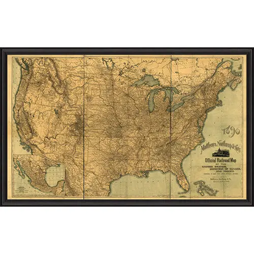
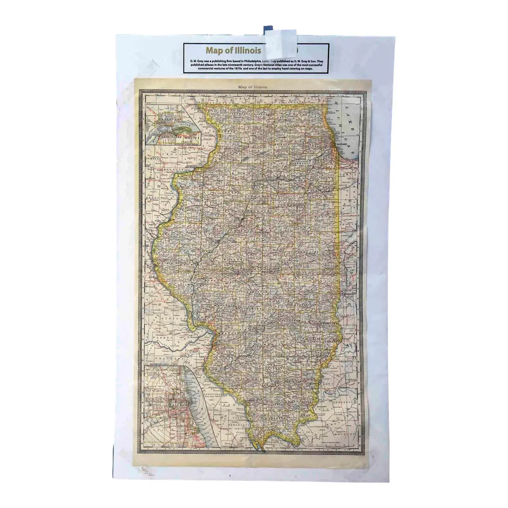
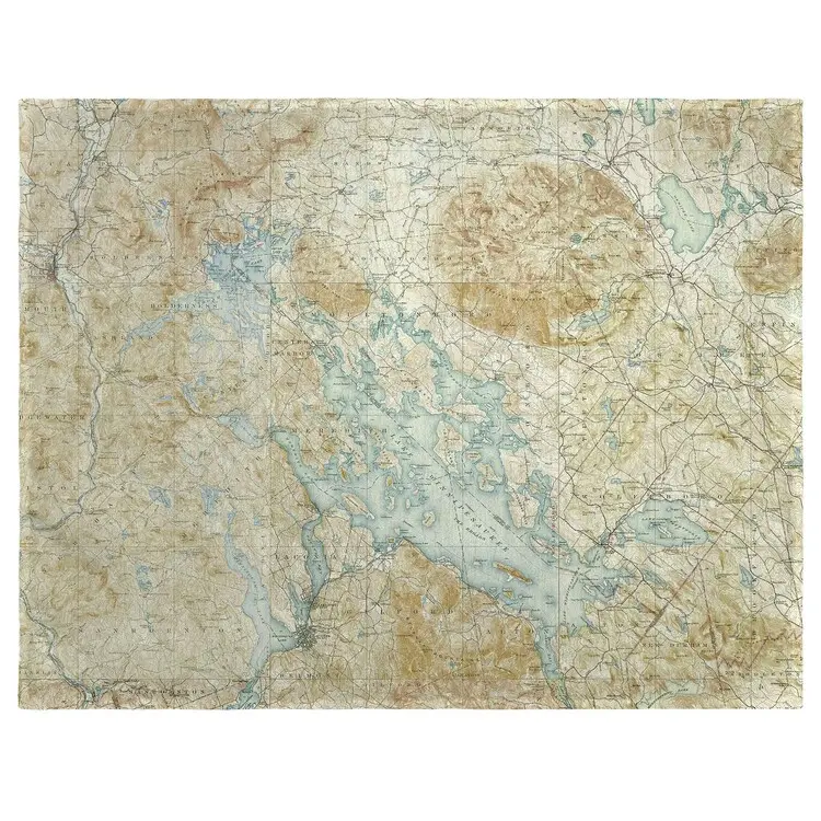
Kansas Railroad Map 1888 – Rand McNally Antique Lithograph This antique 1888 map of Kansas by Rand, McNally & Co. offers a detailed view of the state during a period of rapid expansion and settlement in the late 19th century. The map emphasizes the dense railroad network that defined Kansas’s economy, linking its agricultural heartland with major trade centers across the Midwest and beyond. Every county, township, and settlement is carefully engraved, from major urban centers such as Topeka, Wichita, and Kansas City to the countless small towns and railway depots that dotted the plains.
RatingsNone
Similar products