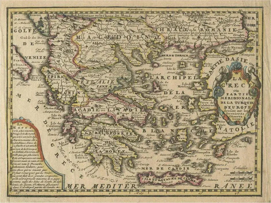
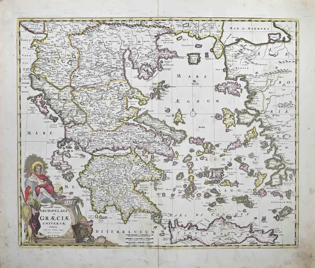
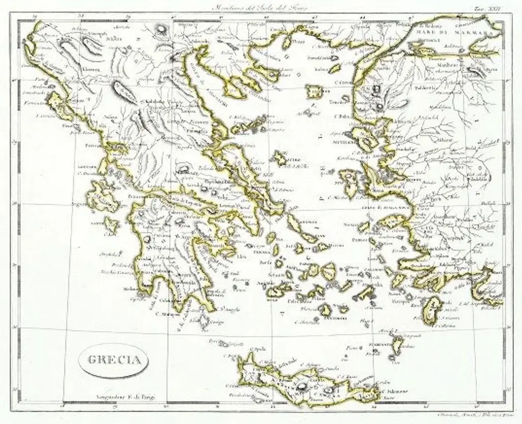
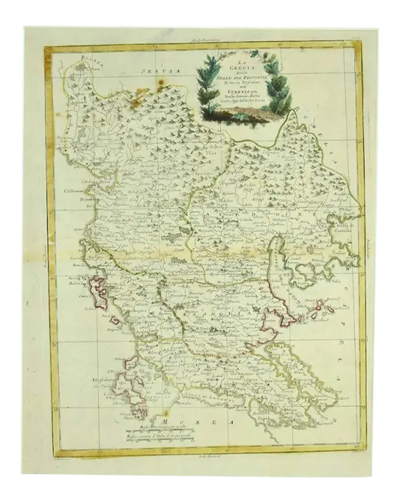
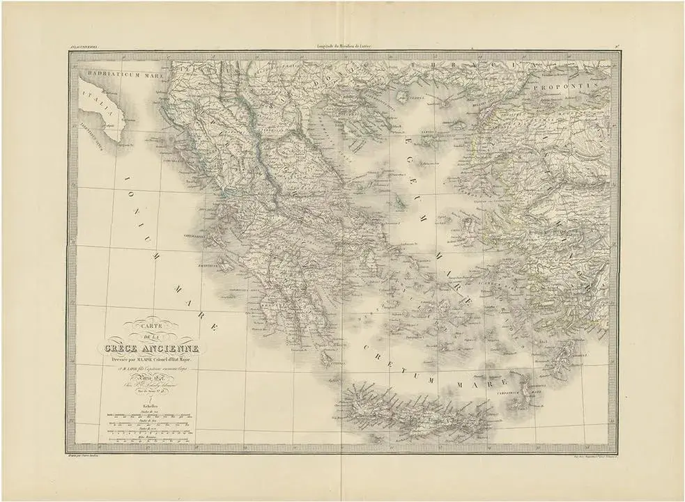
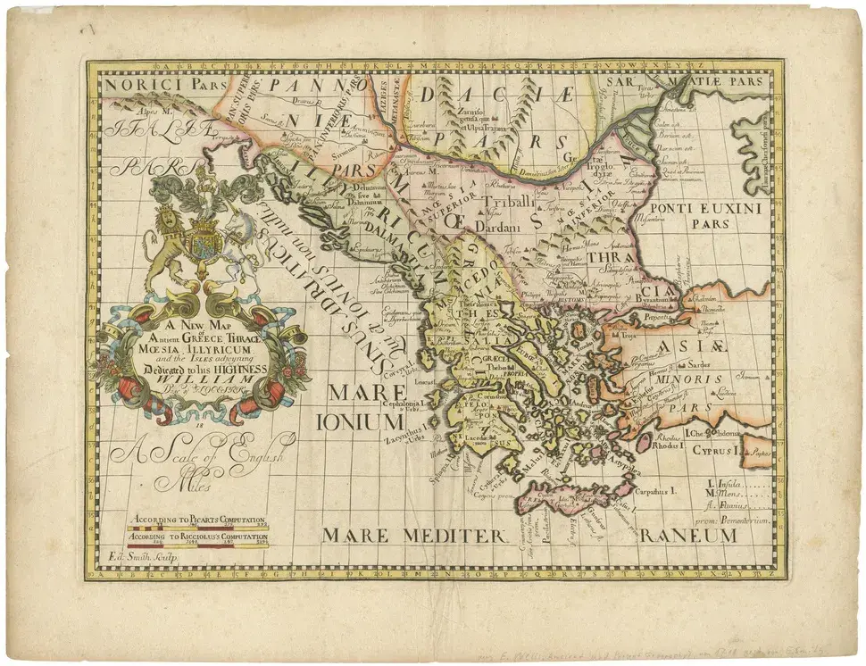
Antique map titled 'Graeciae Antiquae'. Large scale map of Greece, extends south to the island of Cythera. Inset map shows details of Macedonia. Published circa 1786. Artists and Engravers: Jean-Baptiste Bourguignon d'Anville, French geographer and cartographer who greatly improved the standards of map-making.
RatingsNone
Similar products