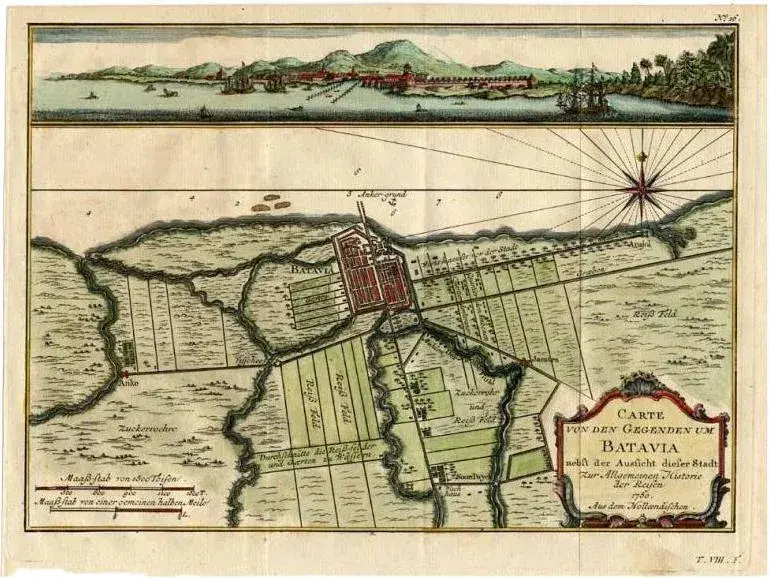
Antique map titled 'Carte des environs de Batavia '. French map of the Batavia area (Jakarta) in Indonesia. with cartouche, scale and compass rose. Published circa 1750. The map is loosely inserted in a protective acid free matting board. A very clean impression of Batavia when it was still a small fort with already a Dutch look due to the canals. One folding line in the middle, as issued. Artists and Engravers: Engraved by J. van Schley. Date: c.1750 Overall size: 33 x 25.5 cm. Image size: 28 x 20.5 cm.
RatingsNone
Similar products