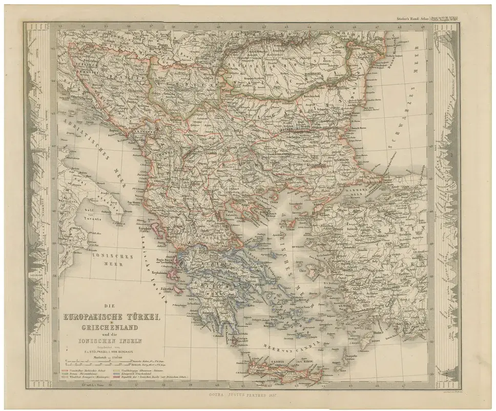
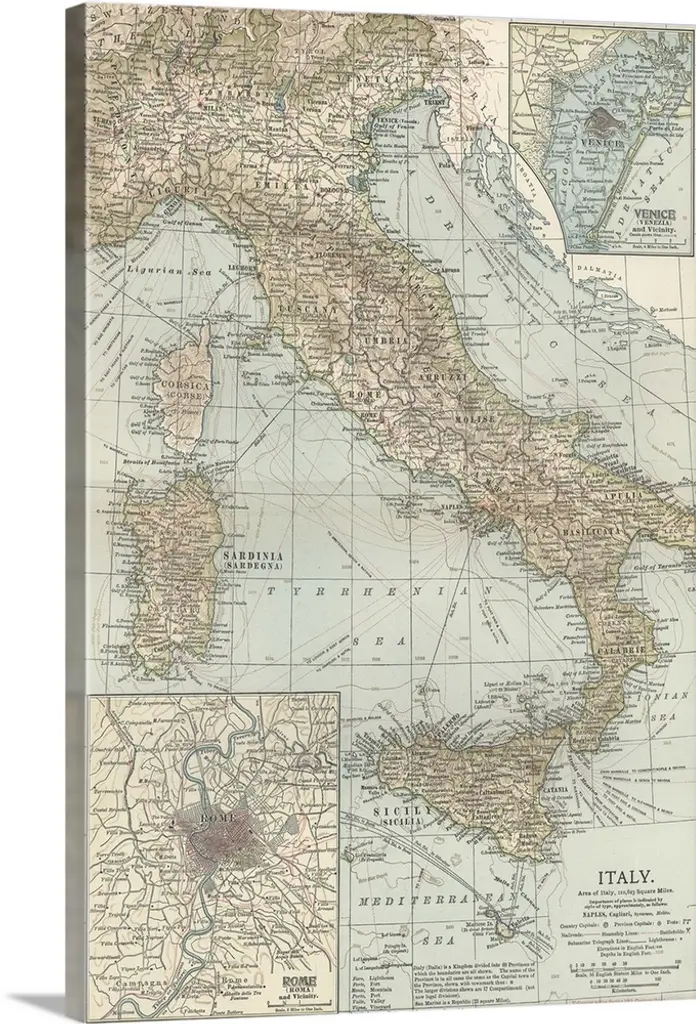
This elegant antique print shows the Kingdom of Greece titled “Königreich Griechenland und die Ionischen Inseln” meaning “Kingdom of Greece and the Ionian Islands.” Published in 1847 by Justus Perthes in Gotha as part of Adolf Stieler’s esteemed Hand-Atlas, this map was engraved under the direction of F. v. Stülpnagel. It depicts mainland Greece, the Peloponnese, and the Ionian Islands in detailed clarity, with towns, mountains, rivers, and islands precisely labelled. Notable features include major cities such as Athens, Patras, Corinth, and Missolonghi, as well as detailed representations of the Cyclades and Dodecanese islands. The Ionian Islands, including Corfu (Kerkyra), Kefalonia, Zakynthos, and Lefkada, are shown with their administrative divisions. Inset maps include: – Plan of Athens and Piraeus with key sites labelled – Regional plans highlighting surrounding areas and strategic locations This map is significant as it captures Greece shortly after its independence from the Ottoman Empire (1830), depicting the young kingdom as it emerged in European politics. The Ionian Islands were under British protection at this time, shown with their distinct administrative status before their unification with Greece in 1864. Technique: Copperplate engraving with original hand colouring to highlight political and territorial boundaries in soft hues. German titles and detailed annotations are engraved with precision, demonstrating Stieler’s renowned cartographic clarity. Condition summary: Excellent condition with minimal toning, strong impression, and no tears or repairs. Colours remain vivid, and paper is firm and stable throughout.
Similar products