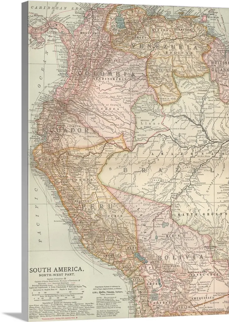
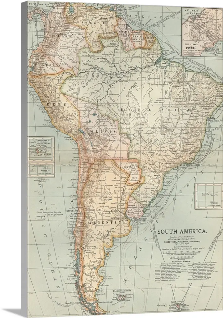
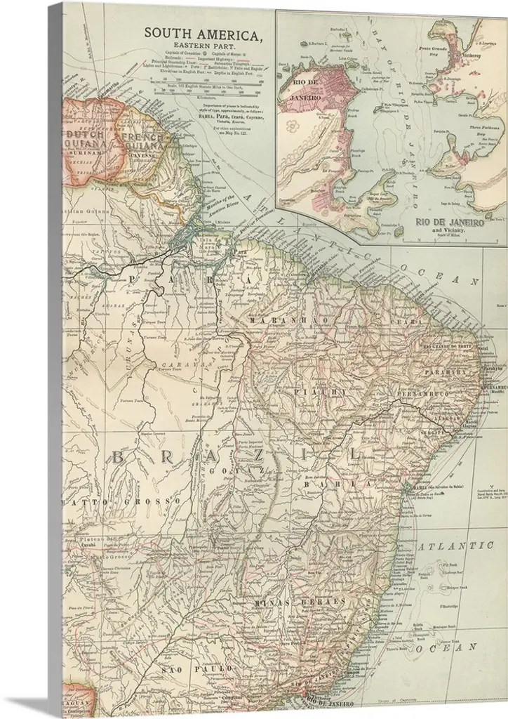
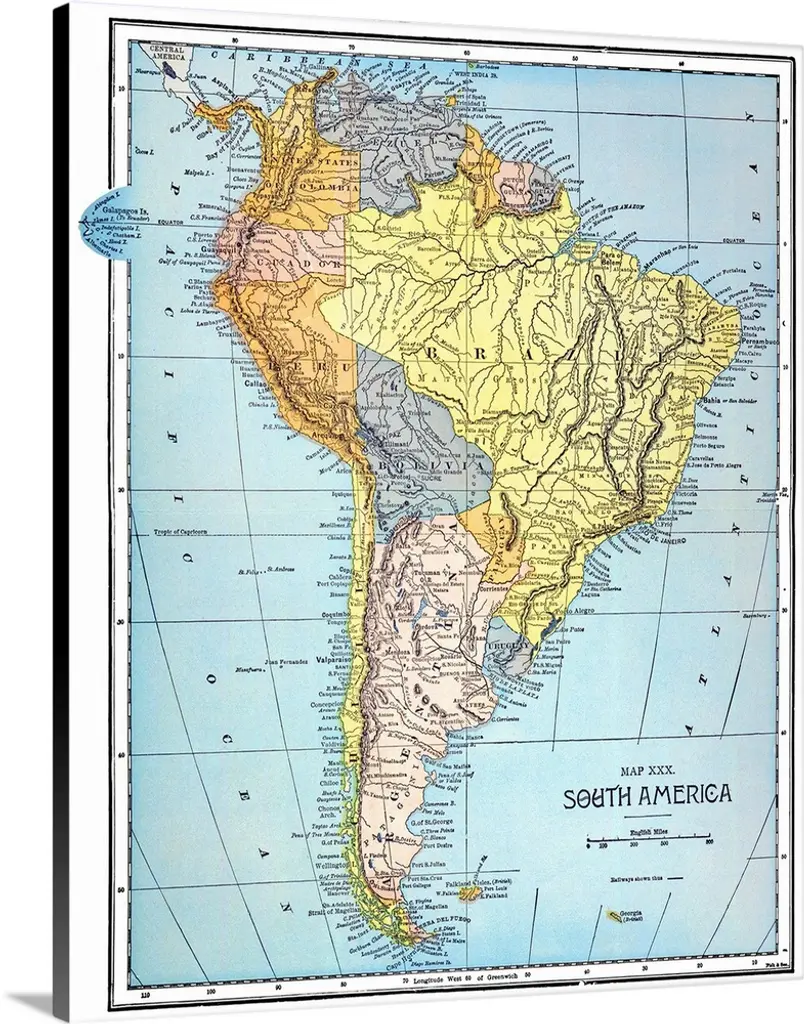
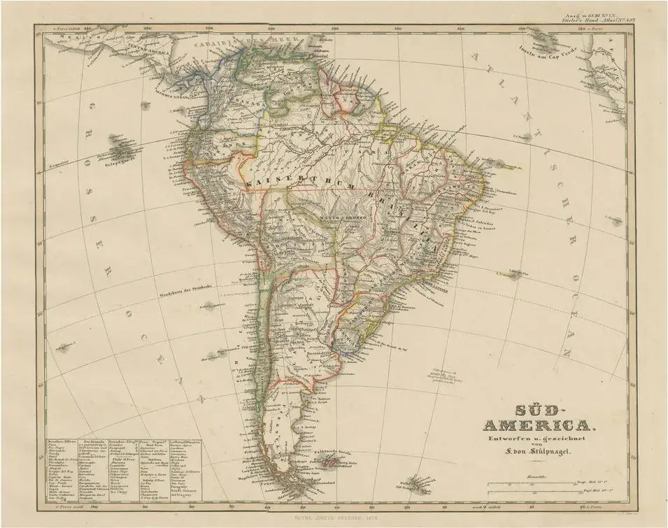
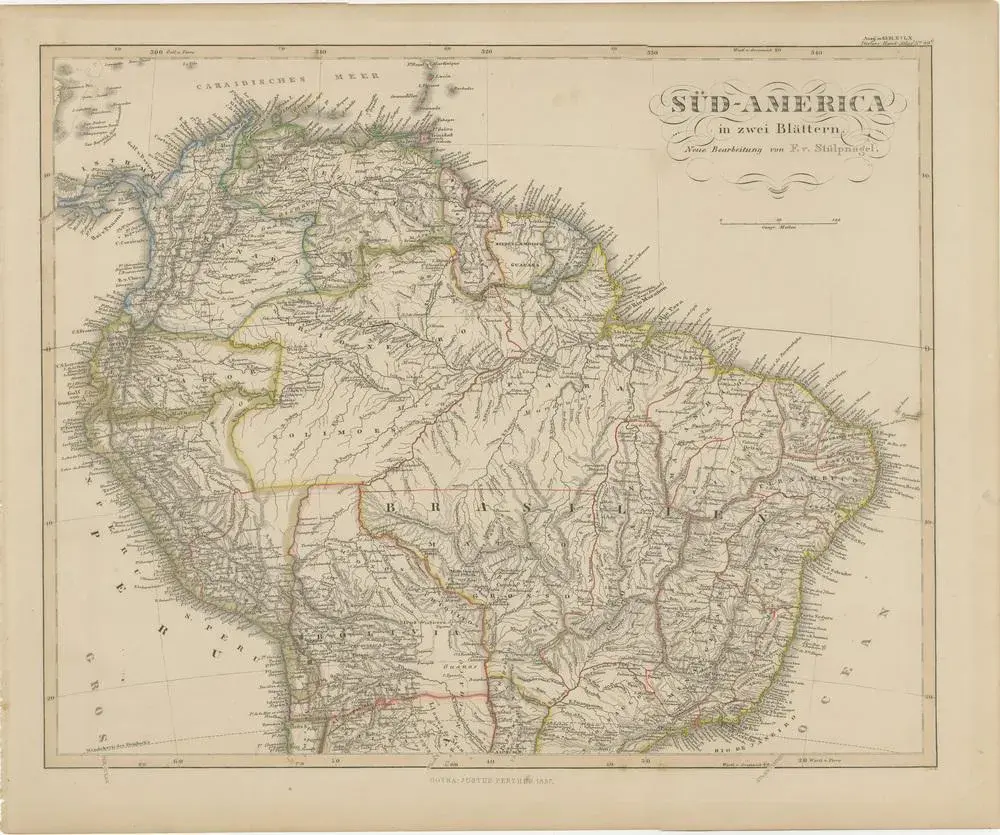
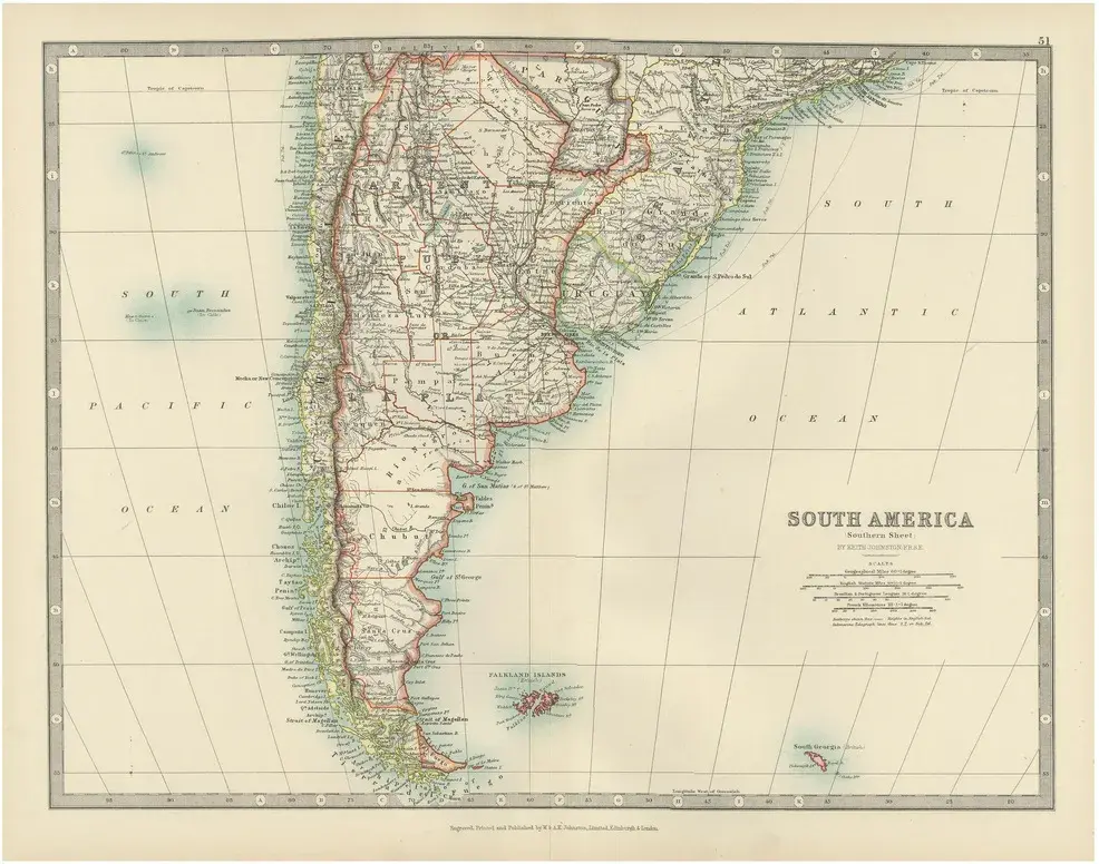
Map of Northern South America – Vibrant Engraving by Keith Johnston, 1903 This beautifully engraved map titled "South America: Northern Sheet" was created by Keith Johnston, F.R.G.S., and published by W. & A.K. Johnston, Limited, Edinburgh & London, in 1903. It provides a detailed and colorful portrayal of the northern regions of South America, reflecting the colonial and political landscape of the early 20th century. The map covers Colombia, Venezuela, Ecuador, Peru, northern Brazil, Guyana, Suriname, French Guiana, and the western edge of the Amazon Basin. Inset in the lower left corner is a detailed depiction of the Galapagos Islands, emphasizing their strategic location in the Pacific. The precision and artistry of the engraving are notable, with clear typography, fine hachures to show topography, and vibrant color washes that highlight national boundaries. The map features a wealth of geographical details, including major cities, rivers, mountain ranges, and other natural features. It also captures important historical routes and settlements, offering a glimpse into the political and economic structures of the era. This antique map is in very good to excellent condition, with minimal age-related wear, clear printing, and strong color retention. It’s an invaluable piece for collectors, historians, or enthusiasts of South American geography. For framing, consider using a deep brown or black wooden frame to complement the soft pastel shades of the map, along with a neutral mat that emphasizes the delicate engraved lines and vibrant color washes. This would make a striking addition to any study, library, or office, providing both aesthetic appeal and historical significance.
Similar products