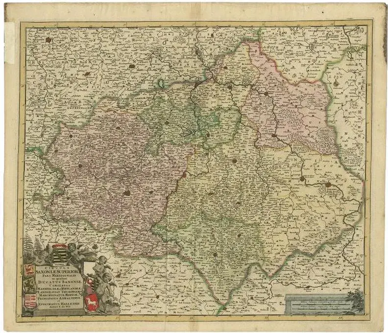
Antique map titled 'Circuli Saxoniae Superior Pars Meridionalis in qua sunt Ducatus Saxoniae, Comitatus Mansfeldiae, et Voitlandiae, Landgraviat Thuringiae, Marchionatus Misniae Principatus Anhaltinus et Episcopatus Hallensis.' A handsome and detailed map of the historical regions of the Duchy of Saxony, Germany. The map is fully engraved with towns, political boundaries, rivers, and forests. The map is embellished with a title cartouche with putti and coats of arms. Source unknown, to be determined. Artists and engravers: Frederik/Frederick de Wit (Amsterdam 1630-1706), was a famous engraver and publisher in Amsterdam. He acquired many of the printing plates of Blaeu and Janssonius when it came to auction. His map were very popular because of the quality of the engravings and the beautiful colouring. After his death his work was re-issued by Pieter Mortier and Covens & Mortier.
Similar products