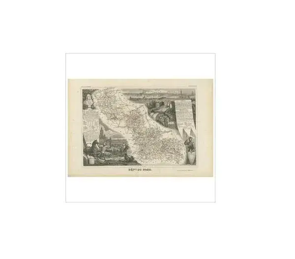
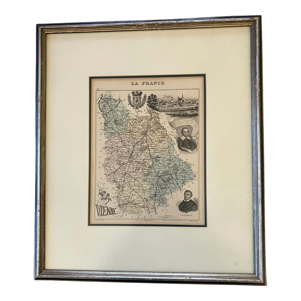
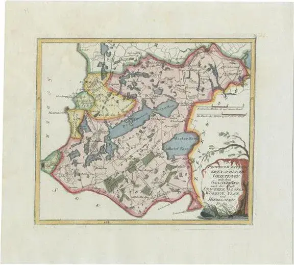
Mid-19th century antique map of the French department of Bouches-du-Rhône, which encompasses the Provence region and the city of Marseille. The map was created by the French cartographer Victor Levasseur and published around 1852-1856 in his Atlas National Illustré.
RatingsNone
Similar products