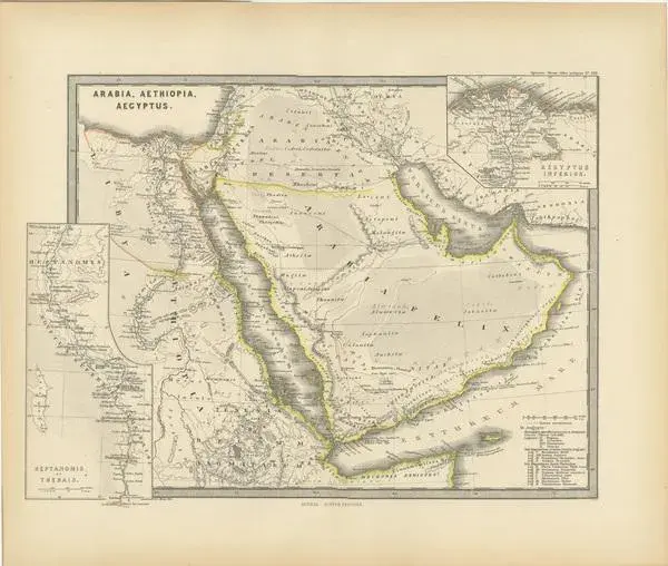
The map with the title "marmarica, cyrenaica, africa, numidia, mauretania secundum italiam poetarum" presents a historical geographical view of the northern coast of africa, detailing regions that correspond to parts of modern-day libya, tunisia, algeria, and morocco. notable features of the map: 1. **multiple regions**: it covers a vast area showing marmarica, cyrenaica, africa (in the roman provincial sense, not the continent as a whole), numidia, and mauretania. 2. **topographical details**: the map illustrates the terrain, including mountain ranges, valleys, and the coastline, along with cities and settlements marked throughout. 3. **inset maps**: additional detailed maps of specific areas, like cyrenaica and mauretania, provide more focused geographical information. 4. **historical annotations**: there are annotations and notations, probably in latin, providing insights into the historical and cultural significance of various locations. 5. **roman influence**: the map reflects the roman division of territories in north africa, an area that was of great importance to rome for its agricultural wealth, particularly the fertile region known as the "breadbasket of rome." 6. **strategic ports**: the coastal areas marked were strategically significant for mediterranean trade and military campaigns during the roman era. 7. **literary references**: the title suggests that the map is structured according to s by roman poets, which may provide a unique literary perspective on the geography. The period depicted on the map is during roman antiquity, specifically during the roman republic and roman empire when these regions were provinces under roman control. This would place the map within a broad range between the 3rd century bc and the 4th century ad, a time when rome's influence was strongly felt across the mediterranean basin. The map provides a fascinating insight into the ancient landscape that was crucial for the economic, military, and political life of the roman empire. The map is from the "spruner-menke atlas antiquus," which is a historical atlas created by karl spruner von merz, and later edited by theodorus menke. The atlas is known for its detailed maps of historical geographic regions, rendered with great precision and accompanied by scholarly research. These maps were particularly designed for educational use, providing a visual aid for the study of historical and ancient geography. The "spruner-menke atlas antiquus" is considered a significant work in the field of historical cartography and was published in the late 19th century.
Similar products