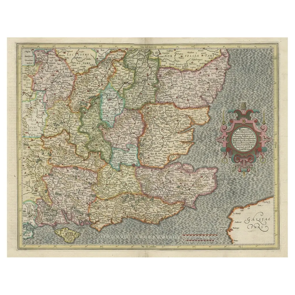
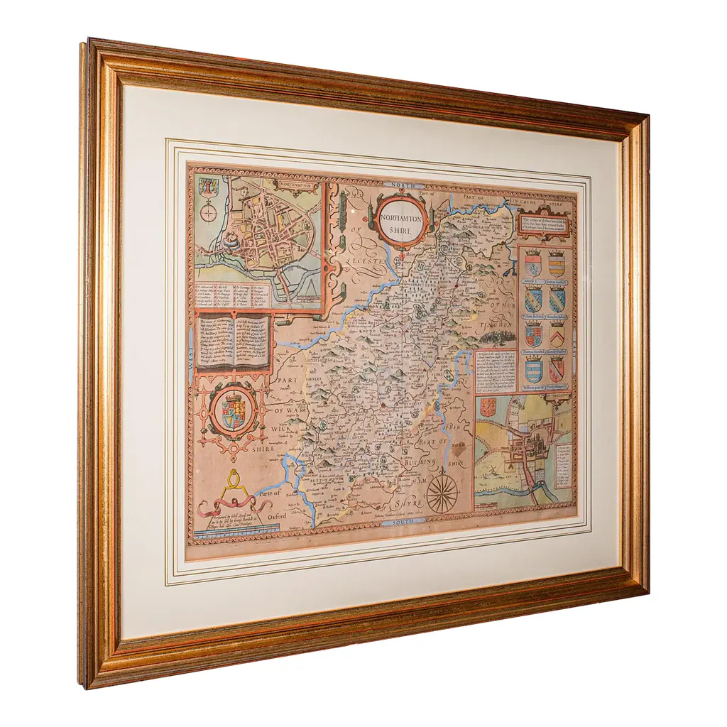
A 17th century copperplate hand-colored map entitled "The Sixt Table of England" by Gerard Mercator and Jodocus Hondius, published in Amsterdam in 1635 in 'Cosmographicall Description of the Fabricke & Figure of the World with new Mappes and Tables; By the studious industry of Iodocus Hondy', the first English edition of their 'Atlas Minor'. It is focused on Southeastern England. It includes the cities of London, Oxford, Winchcombe, Cirencester, Cambridge, Canterbury, Brighton, Dover, as well as the Isle of Wight and Calais and Dunkirk in Northern France. The map is embellished with two strapwork cartouches. The map is beautifully hand-colored with wide margins. It is presented in an archival cream colored mat measuring 14' wide x 12" high and the map measures 11.25" wide x 7" high. There is English text on the verso. The map is in excellent condition.
Similar products