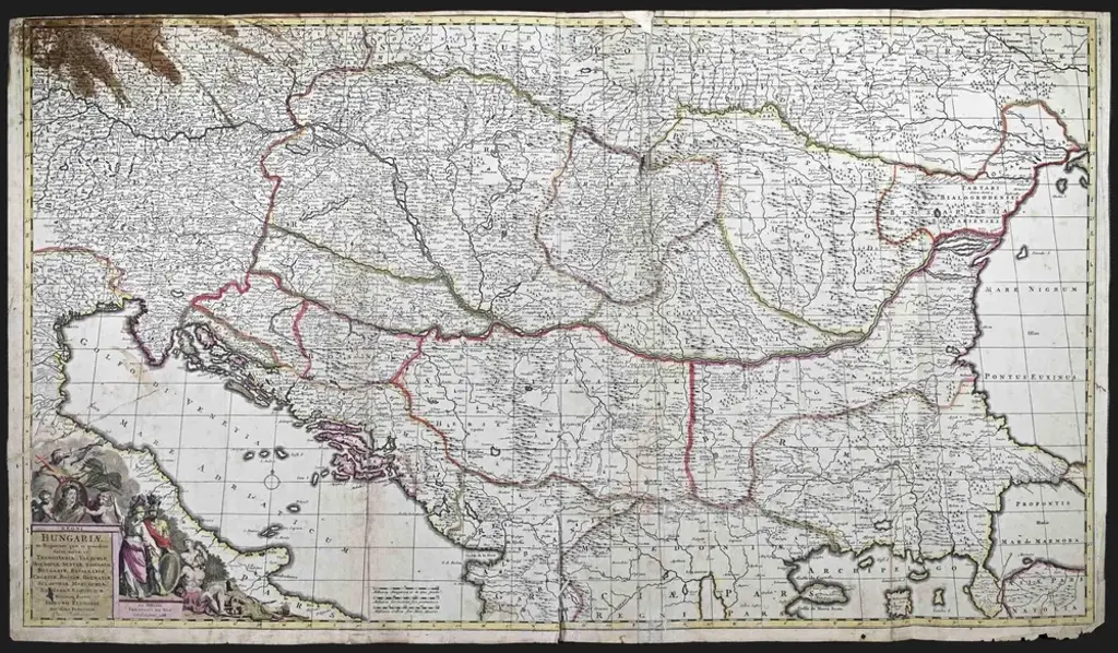
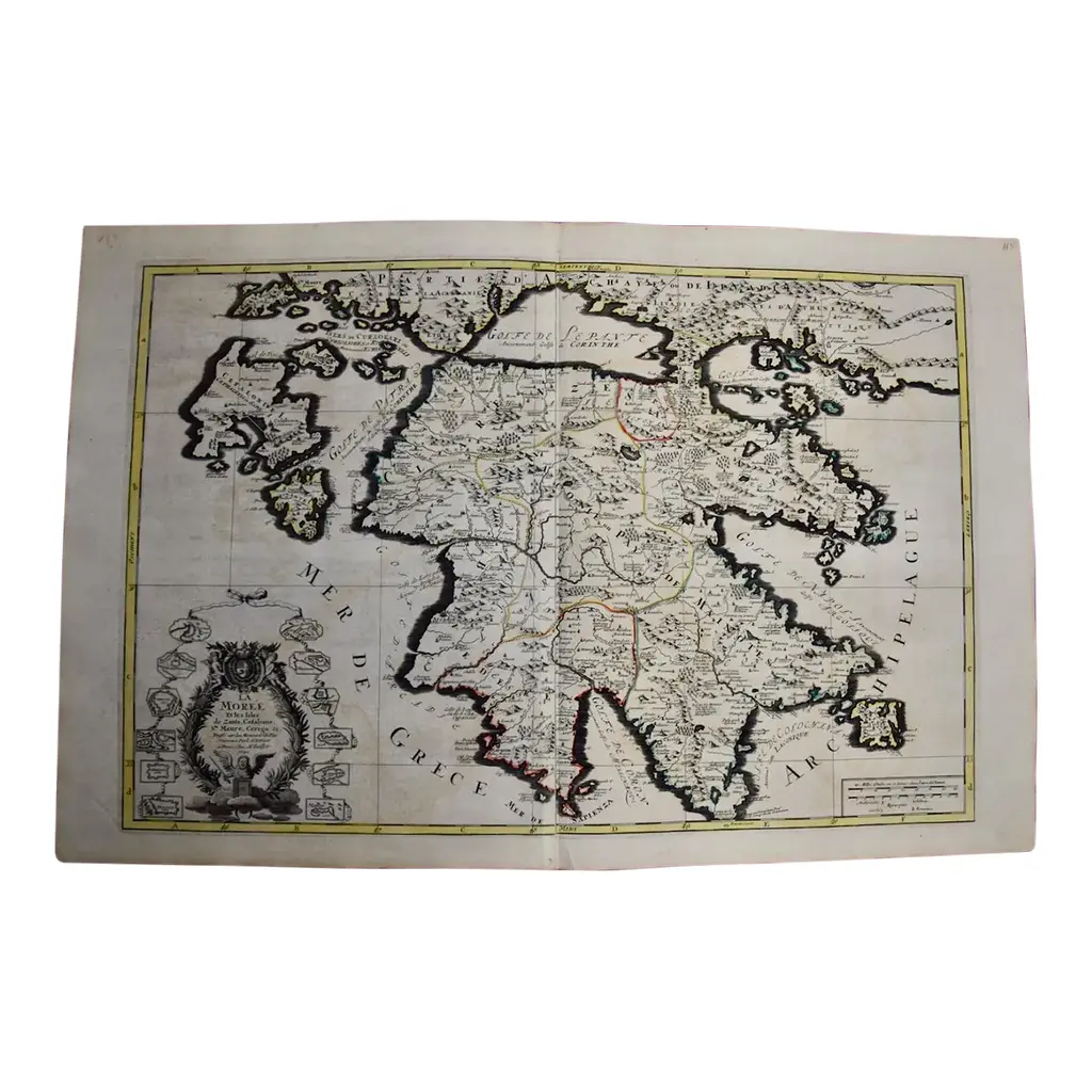
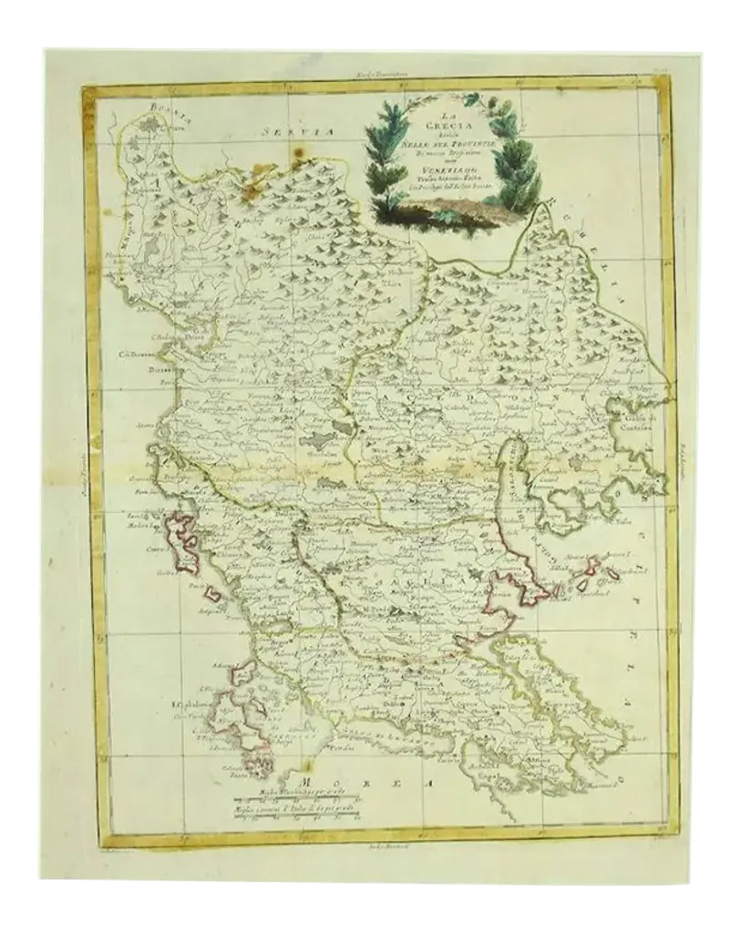
This large hand-colored map entitled "Estats de L'Empire des Turqs en Europe, ou sont les Beglerbeglicz our Gouvernements" was originally created by Nicholas Sanson d'Abbeville and this version was published by Hubert Jaillot in "Atlas Nouveau" in Paris in 1692. It depicts the territories of the Ottoman Empire in Europe, predominantly Eastern Europe. Highlights include, the Mediterranean Sea, the Adriatic Sea, the Black Sea, the Dalmation Coast including present day Croatia, Bosnia and Herzegovina, Montenegro, Serbia, Slovenia, Italy, Greece, North Macedonia, Turkey, Romania, Hungary, Albania, Kosovo, Bulgaria, Transylvania, Moldova and southern portions of France, Switzerland, Germany, and Poland.. The map consists of two sheets joined as one along a vertical joint. The map has original hand-coloring. It is printed on antique hand-made laid, chain-linked paper with wide margins. The sheet measures 24.88" high and 38" wide. There is a central vertical joint, as issued. The map is in very good condition.
Similar products