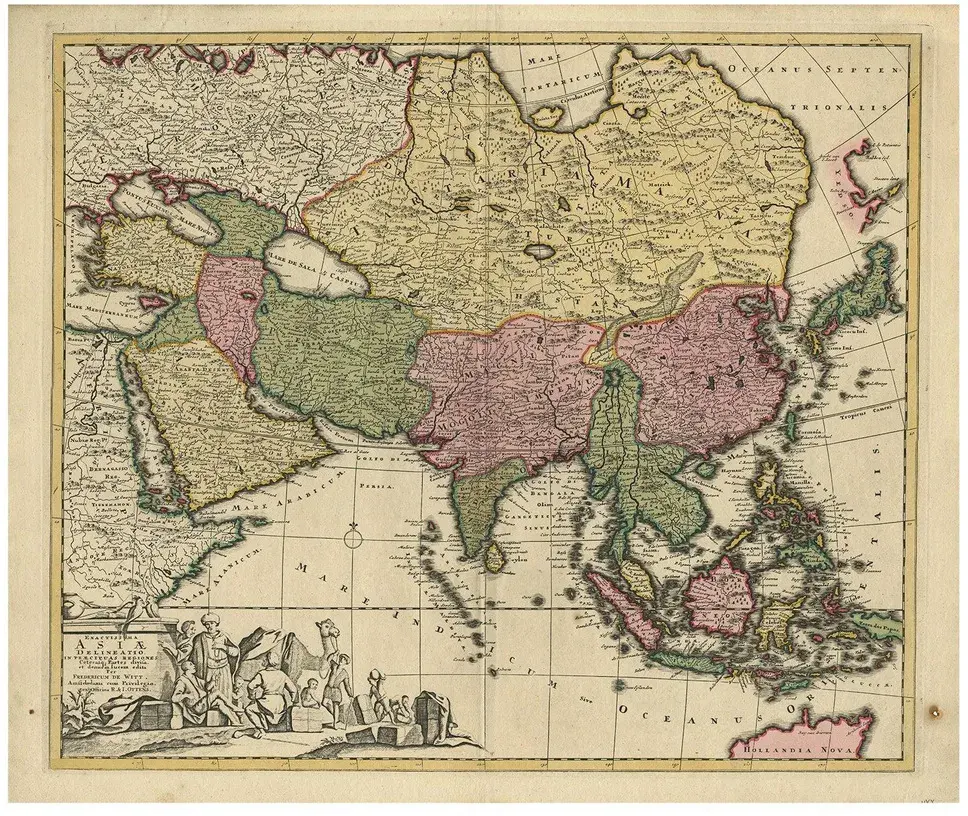
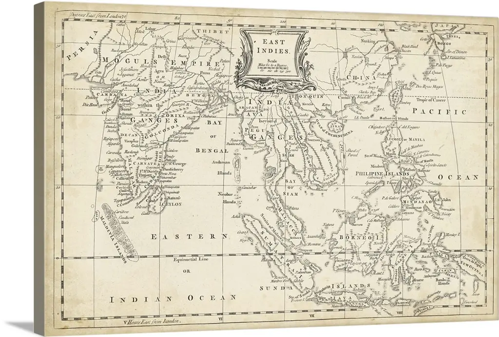
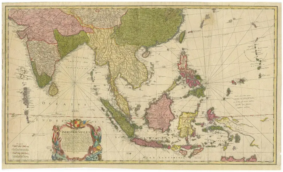
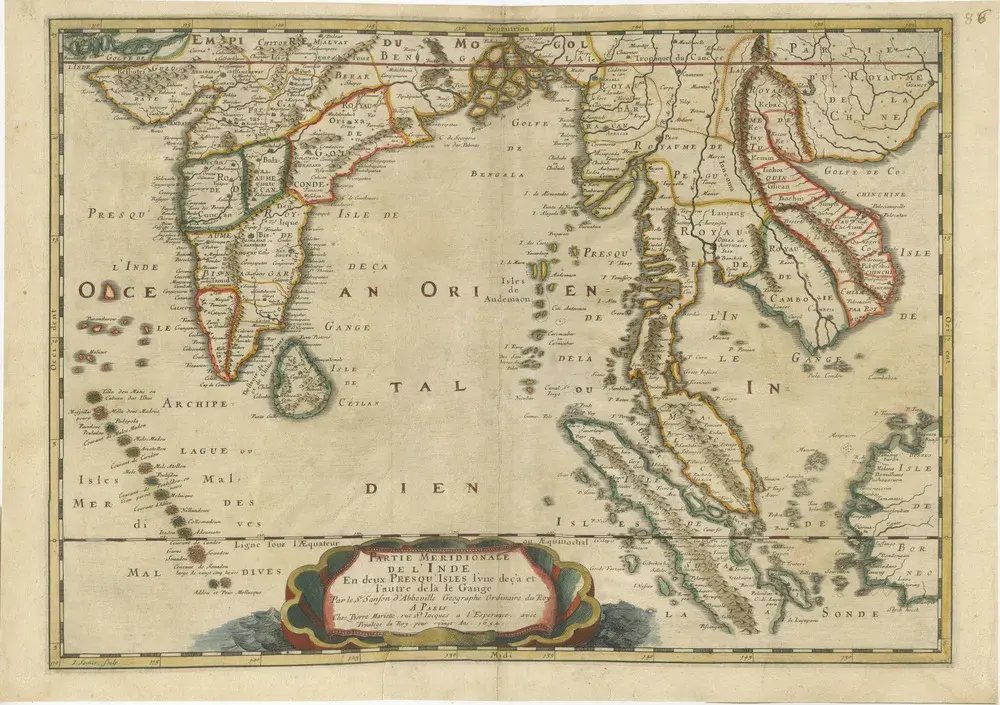
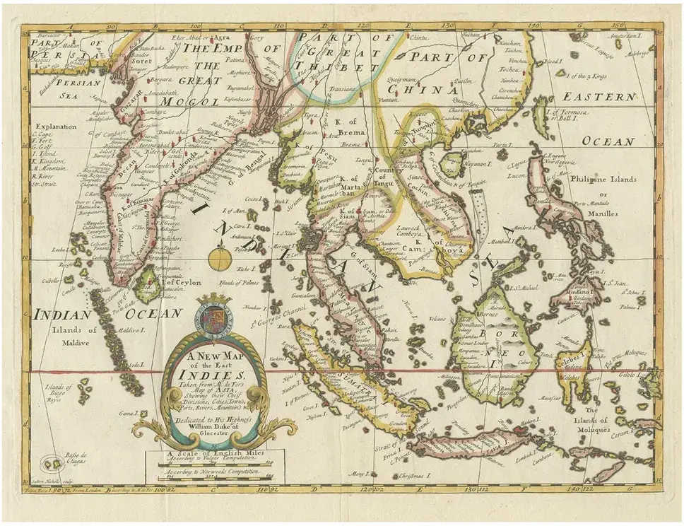
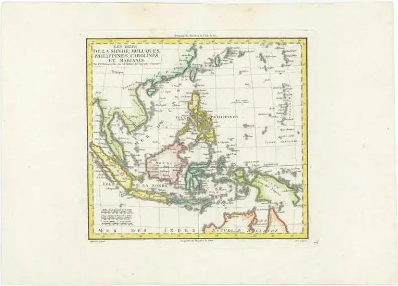
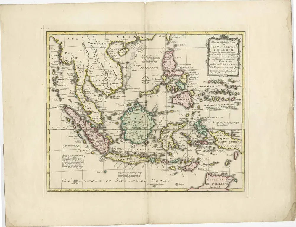
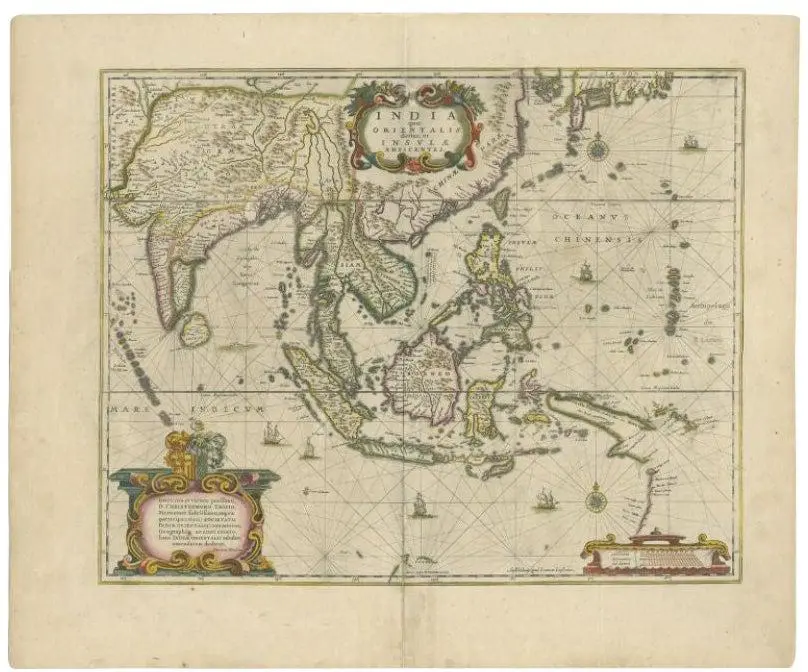
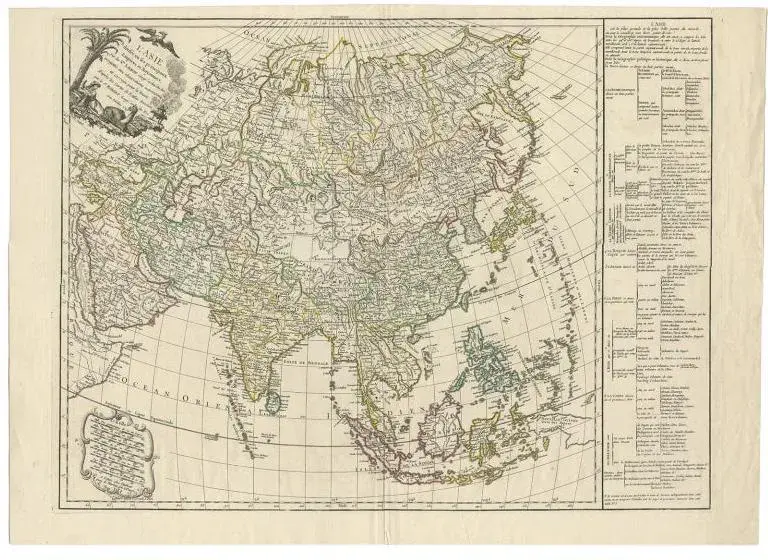
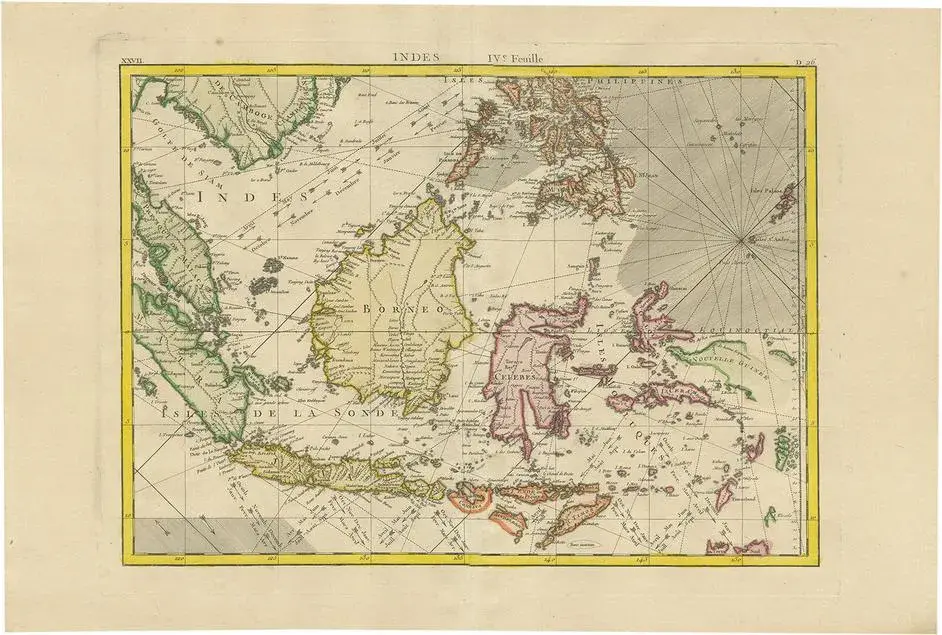
An original historical map titled 'Presqu' Île Au Dela Du Gange et Archipel De L'Inde', created by Pierre Francois Tardieu and published in the "Atlas Universel" by Pierre Grégoire Chanlaire & Edmonde Mentelle in Paris, 1797. It depicts the region from Bangladesh to Papua New Guinea, with a central focus on Borneo and the Philippines. Printed on strong hand-pressed paper. Step back into the age of exploration with this meticulously hand-colored 1797 engraving by the esteemed cartographer Pierre Francois Tardieu. This rare collector's piece, from the Atlas Universel, offers a detailed glimpse into the maritime heart of Southeast Asia, highlighting the 'Presqu' Île Au Dela Du Gange et Archipel De L'Inde'. It is a treasure trove for map enthusiasts and historians alike, featuring the Malay Archipelago with remarkable precision. Borneo and the Philippines are centrally placed, flanked by the intricate web of islands stretching from Bangladesh to the exotic east of Papua New Guinea. Singapore is mentioned already. This decorative and educational map is a must-have for connoisseurs of geographic art and a unique testament to the cartographic achievements of the 18th century." Such a would cater to collectors interested in maritime history, cartographic art, and regional maps of Asia, enhancing the allure and perceived value of the map. Keywords: - Antique map - Hand-colored engraving - Pierre Francois Tardieu - 18th-century cartography - Atlas Universel - Southeast Asia historical map - Maritime Southeast Asia - Collectible map - Decorative map - Educational piece - Geographic art - Borneo and Philippines - Exploration era - Nautical chart
Similar products