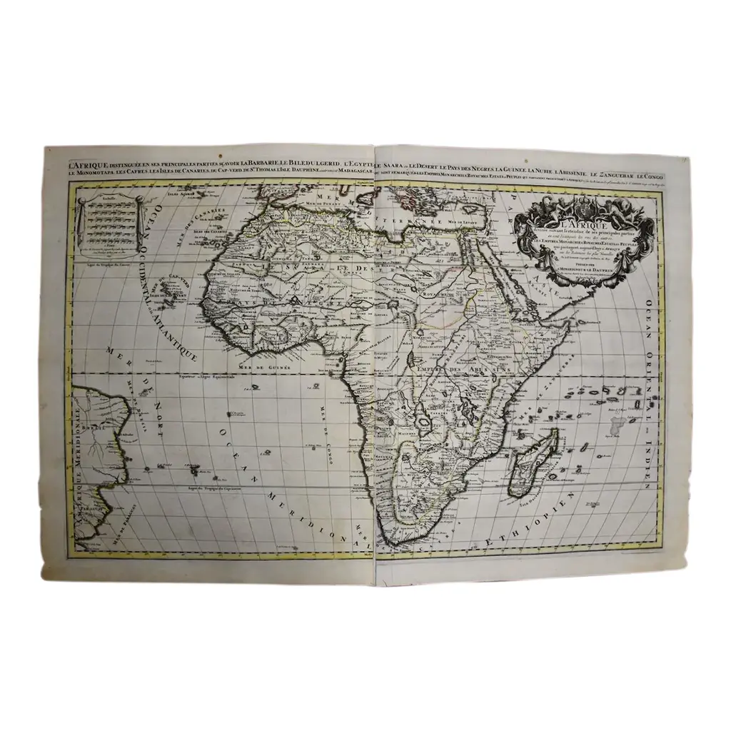
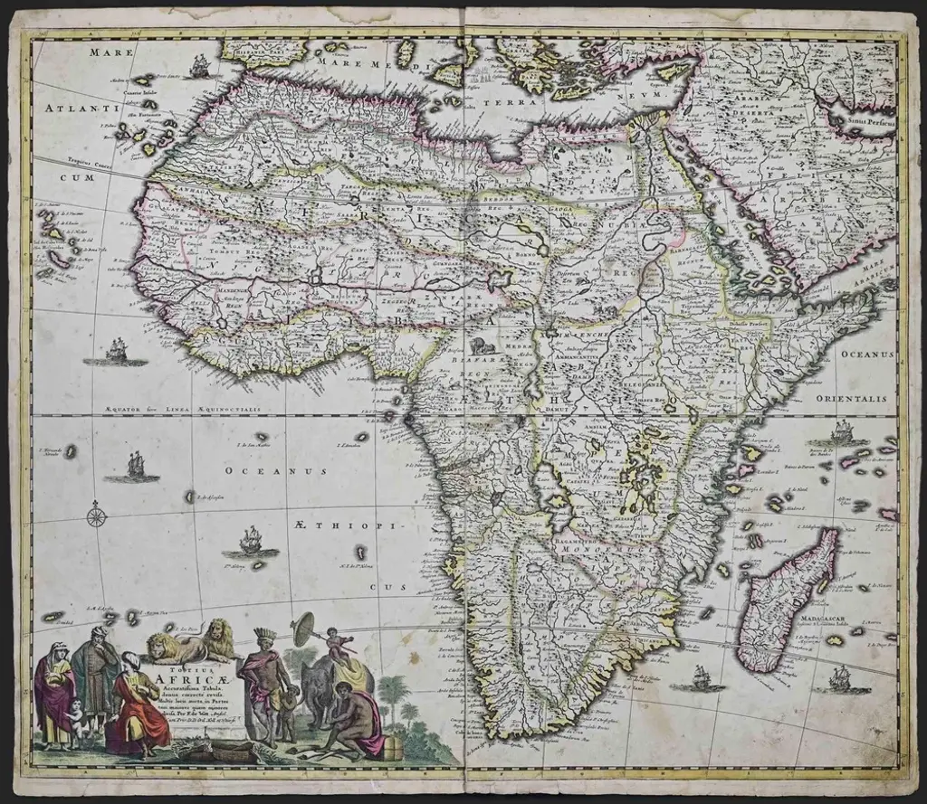
This is a scarce richly hand colored copper plate engraved map of Africa entitled "Guinea Propria, nec non Nigritiae vel Terrae Nigrorum Maxima Pars" by Johann Baptist Homann (1664-1724), published in Nuremberg, Germany by Homann's heirs in 1743. It depicts what at the time was called Guinea and portions of a very large Ethiopia, and now multiple countries, including Benin, Burkina Faso, Cape Verde, The Gambia, Ghana, Guinea, Guinea-Bissau, Gabon, Congo, Ivory Coast, Liberia, Mali, Mauritania, Niger, Nigeria, Senegal, Sierra Leone Togo and portions of Algeria, Morocco, Chad, The Democratic Republic of Congo, The Central African Republic and Angola. West Africa's extensive Atlantic coastline made it a popular location for trade between Africa, Europe and the Americas in the 18th century. The very elaborate and decorative cartouche features a group of Africans in a village by a body of water. Children play around inscribed ivory tusks. One of the children holds a compass tool. This striking map of West Africa has a central vertical fold, as issued, with minimal discoloration along the fold and a small defect along the edge of the sheet in the lower right. The map is otherwise in very good condition.
Similar products