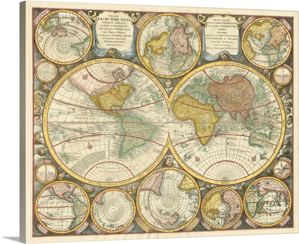
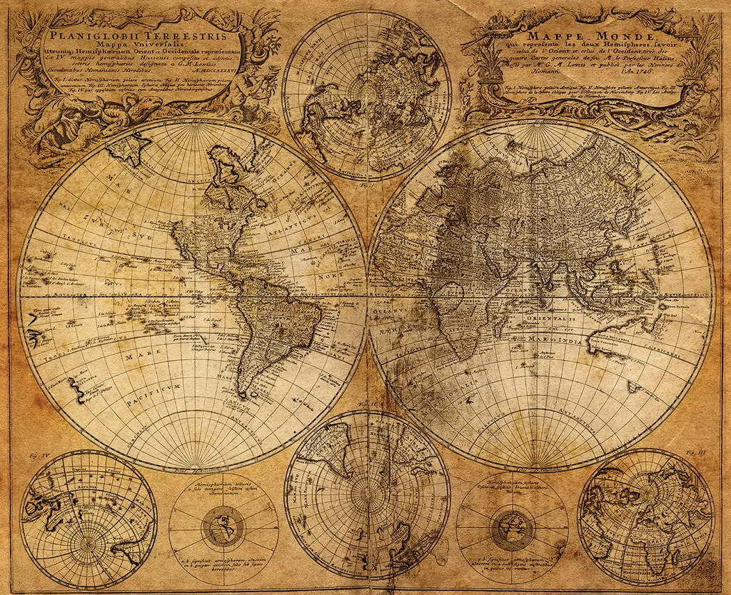
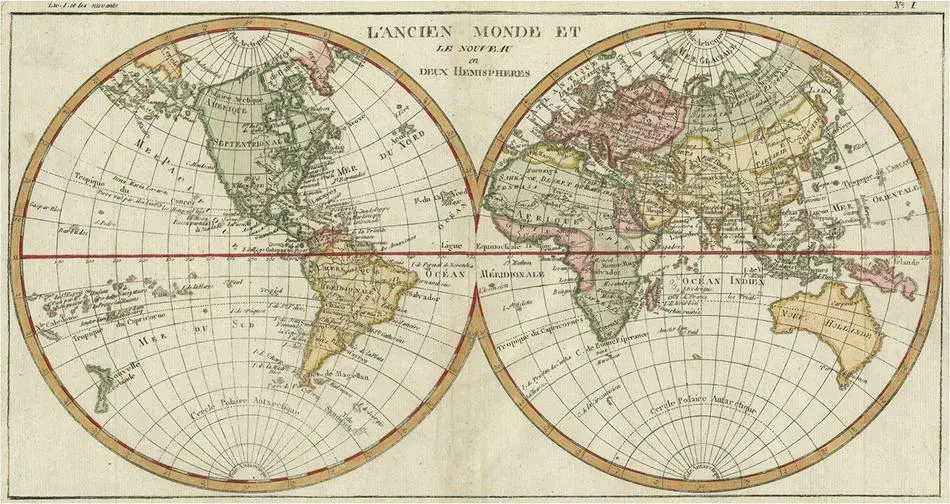
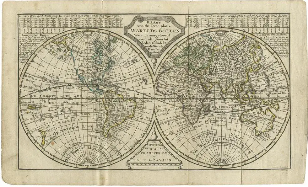
Antique folder titled 'The New and Old Surfaces and Translucent Earth Spheres (\.)'. Twin hemispheres surrounded by six diagrams showing various divisions of the globe. California is shown as an island. However, as this map was published at the very end of the controversy over the insular nature of California, the engraver has covered all bases and shows the island touching the mainland near the center of the eastern coast. This map originates from 'New Nature- History- and Commercial Travel Atlas' by Gerrit Brender à Brandis. Published by J. Keizer and I. de Lat, 1788.
RatingsNone
Similar products