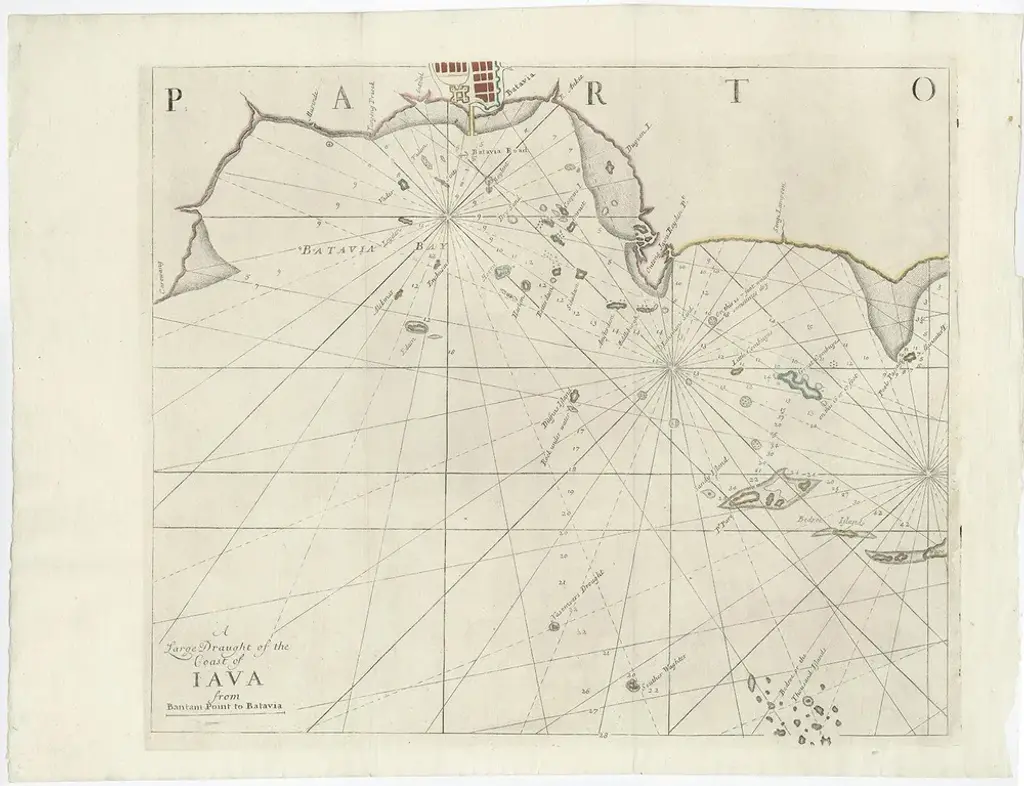
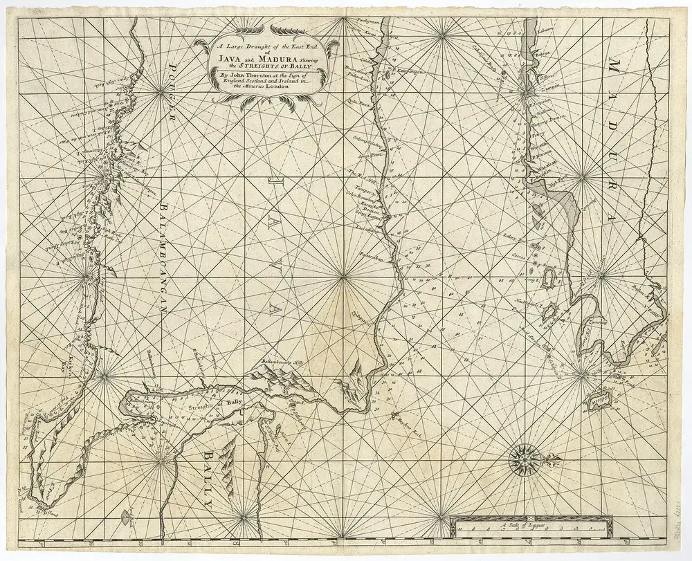
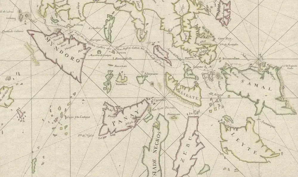
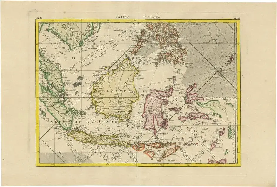
Antique map titled 'A Large Draught from Benjar on the Island of Borneo To Macasser on the Island of Celebes Shewing the Streight of Bally with the Islands to the Eastward thereof.' Rare early example of this working English Sea Chart of part of Indonesia, extending from the Northwest corner of Borneo near Banjarmasin, to Java and Bali in the Southwest, "t Land van Floris" in the southeast, and Celebes in the northeast. The chart includes extensive soundings, rhumblines and a compass rose.
RatingsNone
Similar products