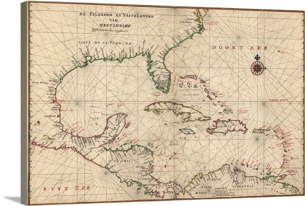
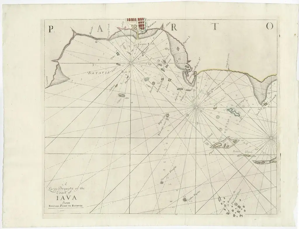
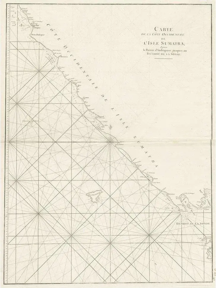
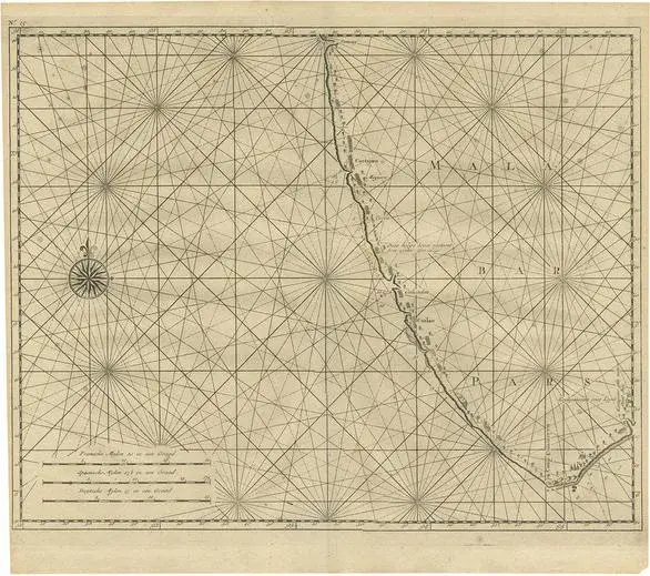
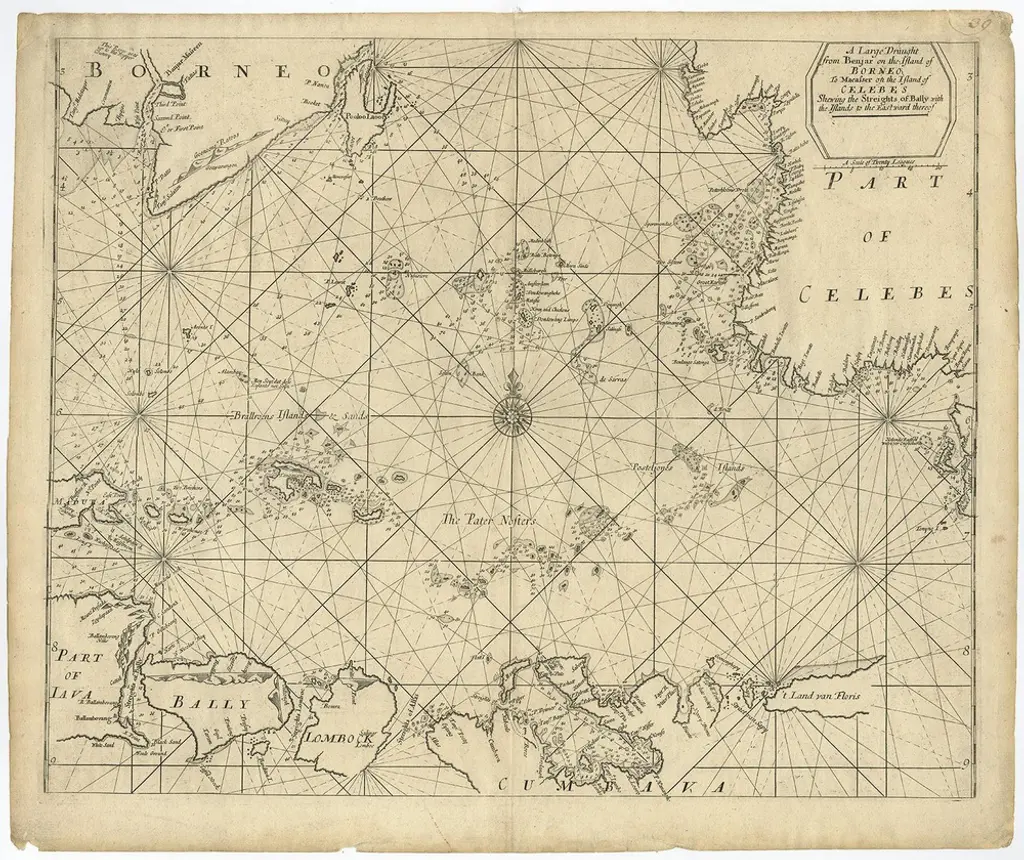
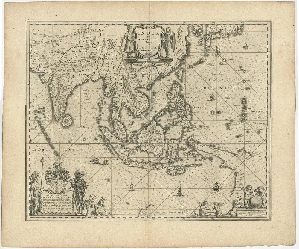
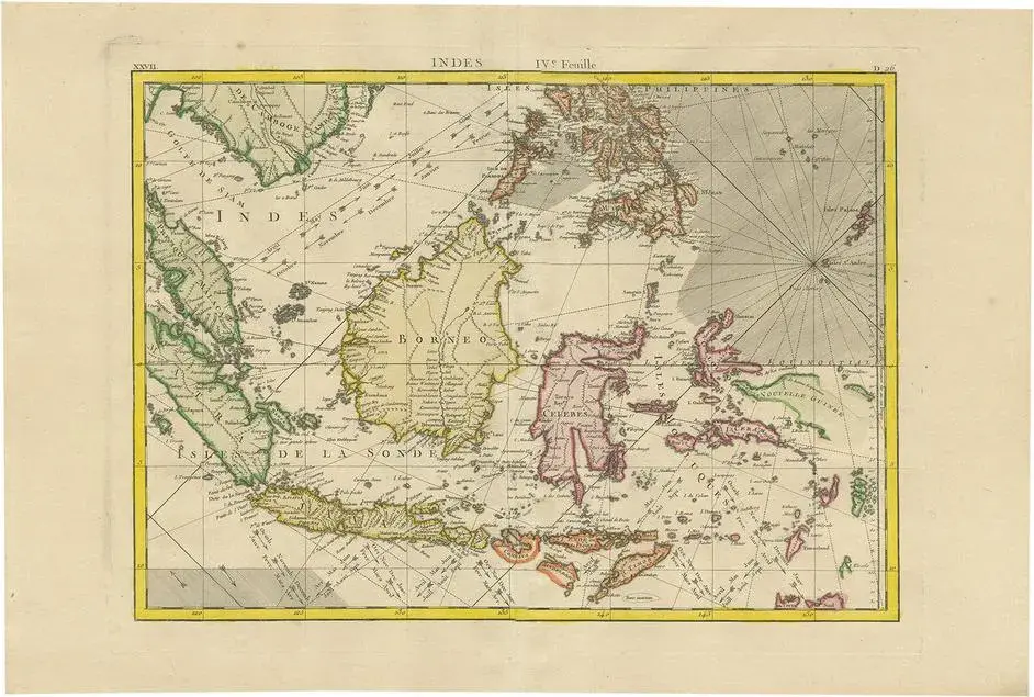
Antique map titled 'A Large Draught of the East End of Java and Madura shewing the Streights of Bally.' Rare early example of this working English Sea Chart of part of Indonesia with Java, Madura, and the Straights of Bali, Indonesia. Source unknown, to be determined. Artists and Engravers: Made by an anonymous engraver after 'Samuel Thornton'. In 1671, the London cartographer John Seller (fl.1664-97) commenced work on The English Pilot , a work that intended to challenge Dutch hegemony in the sea atlas market. Intended to be published in four books covering different regions of the globe, Seller published an uncompleted book on 'Oriental navigation' in 1675. Unable to continue this Herculean endeavour, Seller sold his rights to John Thornton, the official hydrographer to the English East India Company.
Similar products