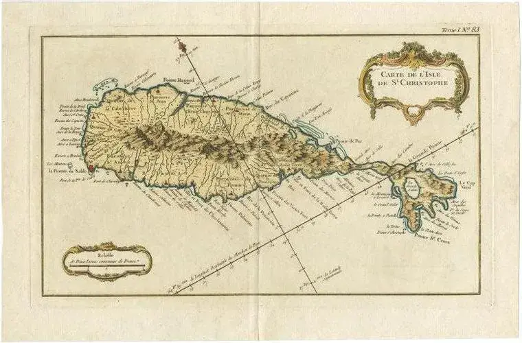
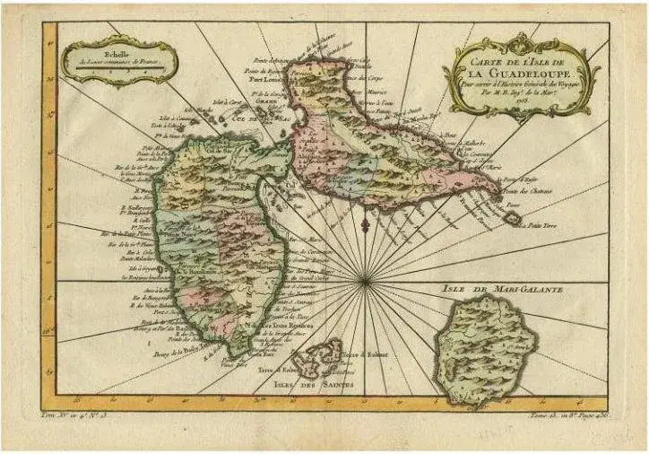
This is an antique French map titled *Carte de l'Isle St. Christophe*, engraved by Jacques-Nicolas Bellin and published around 1758 for *L’Histoire Générale des Voyages*. It depicts the Caribbean island of **Saint Kitts (Saint Christopher)** in fine early colonial detail. Features: * Coastlines with bays, anchorages, capes, and offshore soundings. * Divided into **parishes** such as St. Peter, Christ Church, St. John, St. Mary, and St. Anne. * Topographical relief with stylised mountains and settlements marked throughout. * Decorative title cartouche upper right and scale of “lieues communes de France” cartouche top left. * Compass roses and rhumb lines radiating from the anchor points, typical of 18th-century maritime cartography. Engraver: J.N. Bellin, Ingénieur Hydrographe de la Marine Date: circa 1758 Published in: *Histoire Générale des Voyages*, Paris Condition: Very good condition with wide margins, original hand colouring, strong impression, and minimal foxing or age toning. Plate mark visible. Slight waviness to paper edges consistent with 18th-century storage.
Similar products