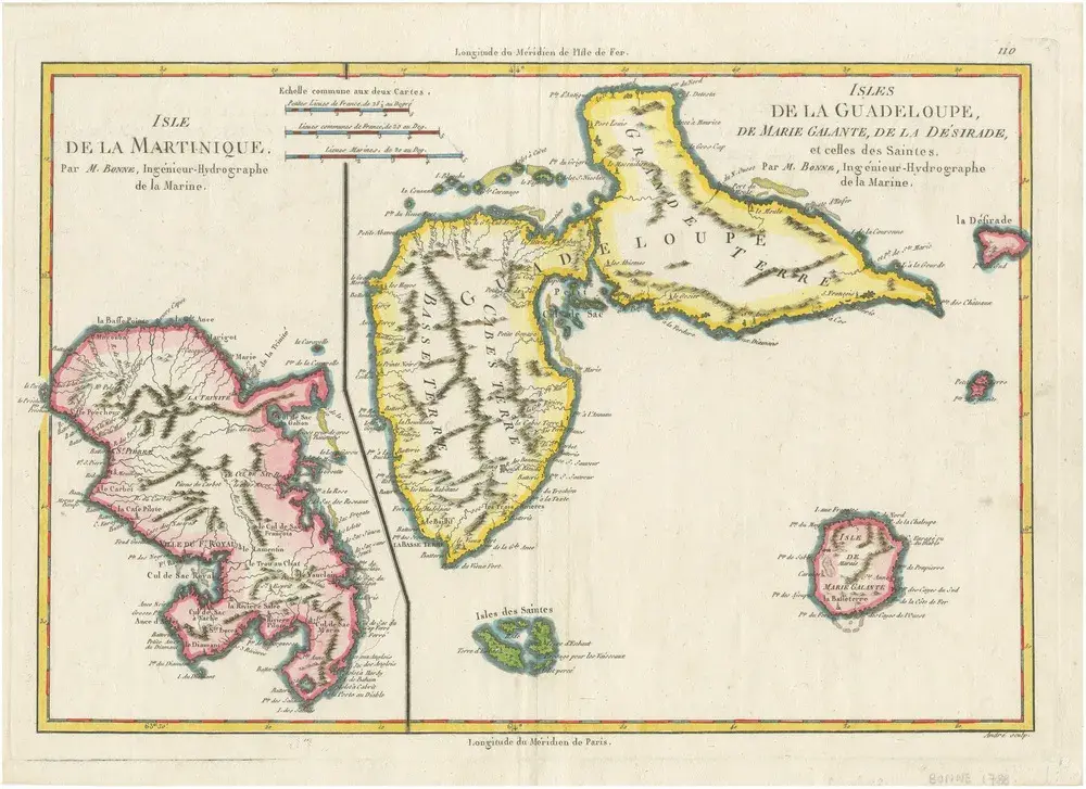
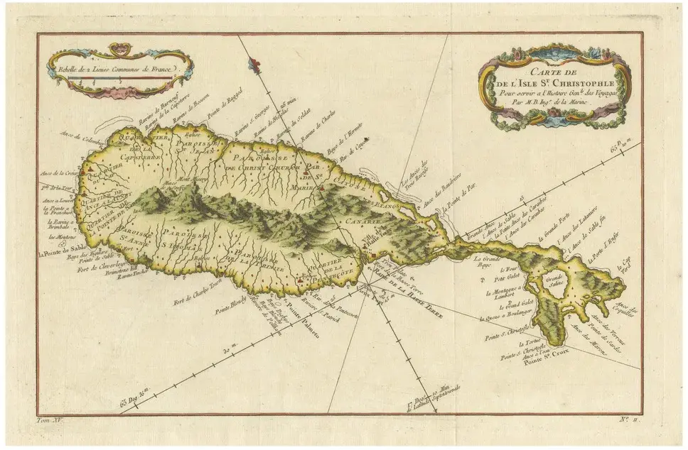
Antique map titled 'Carte de L'Isle de la Guadeloupe'. A very decorative map of Guadeloupe in the Caribbean, adorned with rhumb lines, fleur-de-lys, and two decorative rococo-style cartouches. Filled with good detail and place names throughout. Also includes the islands of Mari-Galante, Terre d'Enhaut, and Terre d'Enbas. Source unknown, to be determined. Artists and Engravers: Jacques Nicolas Bellin (1703 - 1772) was a French hydrographer, geographer, and member of the French intellectual group called the philosophes. Bellin was born in Paris. He was hydrographer of France's hydrographic office, member of the Academie de Marine and of the Royal Society of London. Over a 50 year career, he produced a large number of maps of particular interest to the Ministere de la Marine. Artist: Jacques Nicolas Bellin (1703 - 1772) was a French hydrographer, geographer, and member of the French intellectual group called the philosophes. Bellin was born in Paris. He was hydrographer of France's hydrographic office, member of the Academie de Marine and of the Royal Society of London. Over a 50 year career, he produced a large number of maps of particular interest to the Ministere de la Marine. Condition: Good, given age. Edges slightly browned. Original middle fold as issued. General age-related toning and/or occasional minor defects from handling. Please study image carefully. Date: c.1757 Overall size: 35.5 x 24.5 cm. Image size: 30.3 x 21 cm.
Similar products