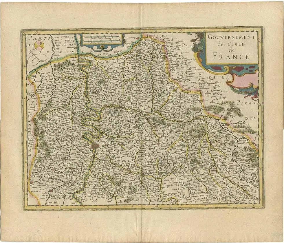
Antique map titled 'Le Pais de Caux'. Old map of Pays de Caux, France. Pays de Caux is an area in Normandy occupying the greater part of the French département of Seine Maritime in Normandy. It is a chalk plateau to the north of the Seine Estuary and extending to the cliffs on the English Channel coast; its coastline is known as the Côte d'Albâtre. The principal settlements are Le Havre, Dieppe, Fécamp, Yvetot and Étretat. This map originates from a composite atlas. Artists and Engravers: Johannes Janssonius also known as Jan Jansson (1588-1664) was born in Arnhem, Netherlands. Condition: Good, original/contemporary hand coloring. The old color has made the paper fragile a few small tears. Small worm hole near 'Allezon'. Latin text on verso, please study image carefully.
Similar products