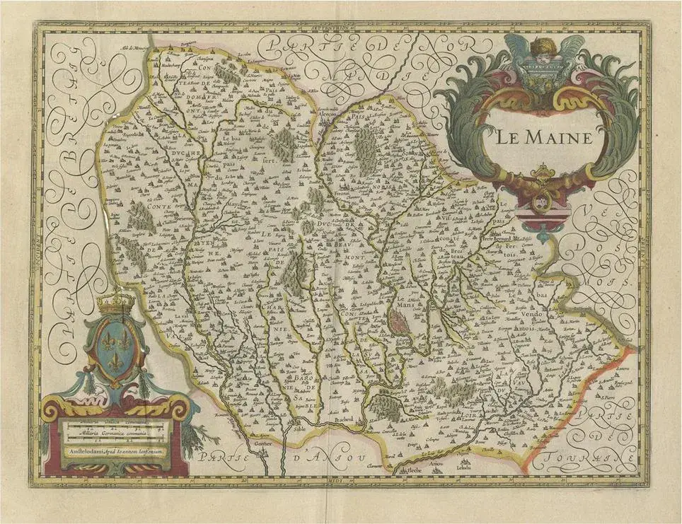
Antique map of France titled 'Diocese du Mans vulgo le Mains'. Decorative map of the region of Maine, France. This map originates from 'Atlas Novus, Sive Theatrum Orbis Orbis Terrarum: In quo Galliae, Helvetiae (\.)' by J. Janssonius (1656-1657). Artists and Engravers: Johannes Janssonius also known as Jan Jansson (1588-1664) was born in Arnhem, Netherlands. His father was a bookseller and publisher (Jan Janszoon the Elder). When he married the daughter of the cartographer Jodocus Hondius he also set up a business as book publisher in Amsterdam. His first map was published in 1616. Around 15 years later he set up a partnership with his brother in law Hondius add issued further editions of the Mercator/Hondius atlas. After his death his heirs still have published several maps. Many of his plates have been acquired by Pieter Schenk and Gerard Valk. Condition: Good, general age-related toning. Minor foxing, Latin text on verso. Please study image carefully. Date: 1657 Overall size: 60 x 50 cm. Image size: 51.5 x 43 cm. This piece is attributed to the mentioned designer/maker. It has no attribution mark and no official proof of authenticity, however it is well documented in design history. I take full responsibility for any authenticity issues arising from misattribution
Similar products