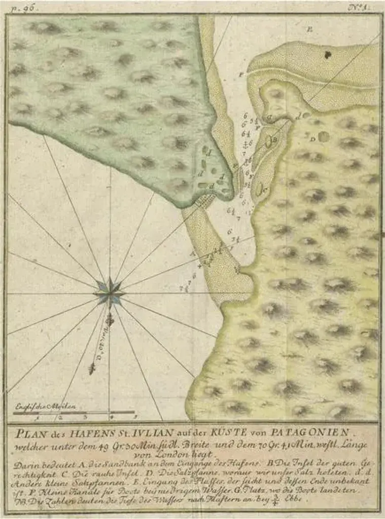
Antique map titled 'Plan van de Oost-Zyde van het Eiland Quibo'. Original antique map of the eastside of Coiba Island (Quibo), Panama, showing the shoreline around Port de Dames indicating soft sand and mud, salt lagoons, fresh water, and fisherman's huts. Also marked are the islands of Quiveta and Canales. This map originates from 'Reize rondsom de Werreld (\.)' by George Anson, published 1749.
RatingsNone
Similar products