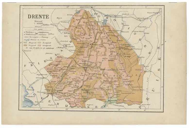
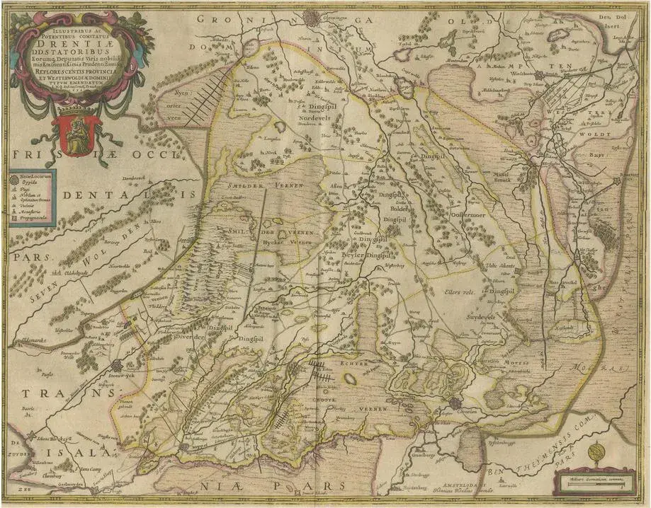
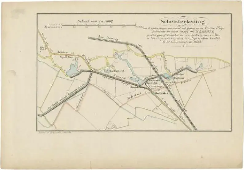
Antique map titled 'De Provincie Drenthe'. Map of the province of Drenthe, the Netherlands. This map originates from 'F. C. Brugsma's Atlas van het Koninkrijk der Nederlanden (\.)'. Artists and Engravers: Author: Frederik Carel Brugsma. Published by J.B. Wolters. Condition: Good, general age-related toning. Original folding line, minor wear. Blank verso. Please study image carefully. Date: 1864 Overall size: 25.5 x 30.5 cm. Image size: 20.5 x 24.5 cm.
RatingsNone
Similar products