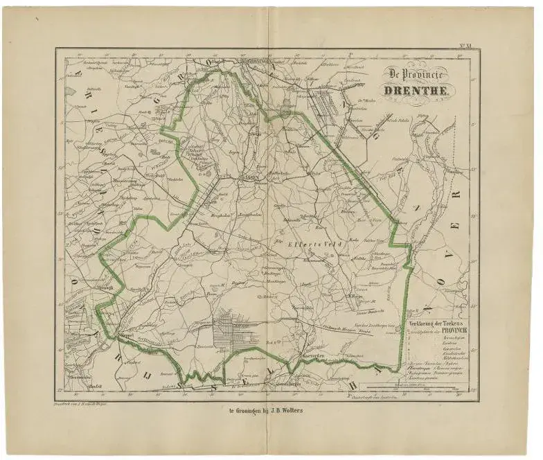
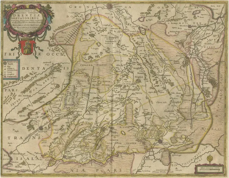
Antique map titled 'Drenthe'. Map of Drenthe, a province of the Netherlands. This map originates from 'Atlas van Nederland volgens de nieuwe spelregels' by J. Kuyper. Artists and Engravers: Published by H.D. Tjeenk Willink. Condition: Good, general age-related toning. Minor wear. Blank verso, please study image carefully. Date: 1883 Overall size: 28.5 x 19 cm. Image size: 22 x 16.5 cm.
RatingsNone
Similar products