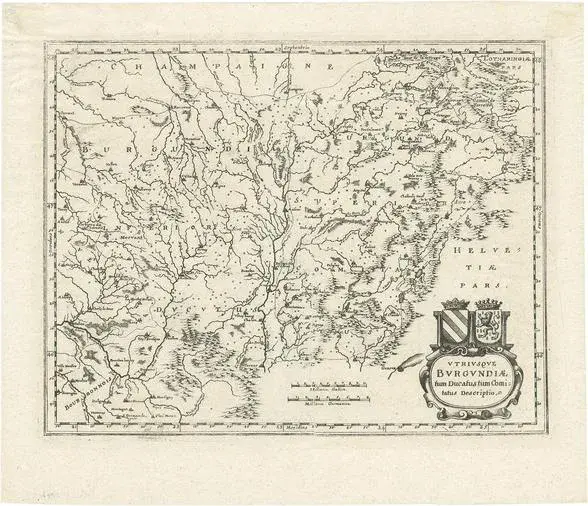
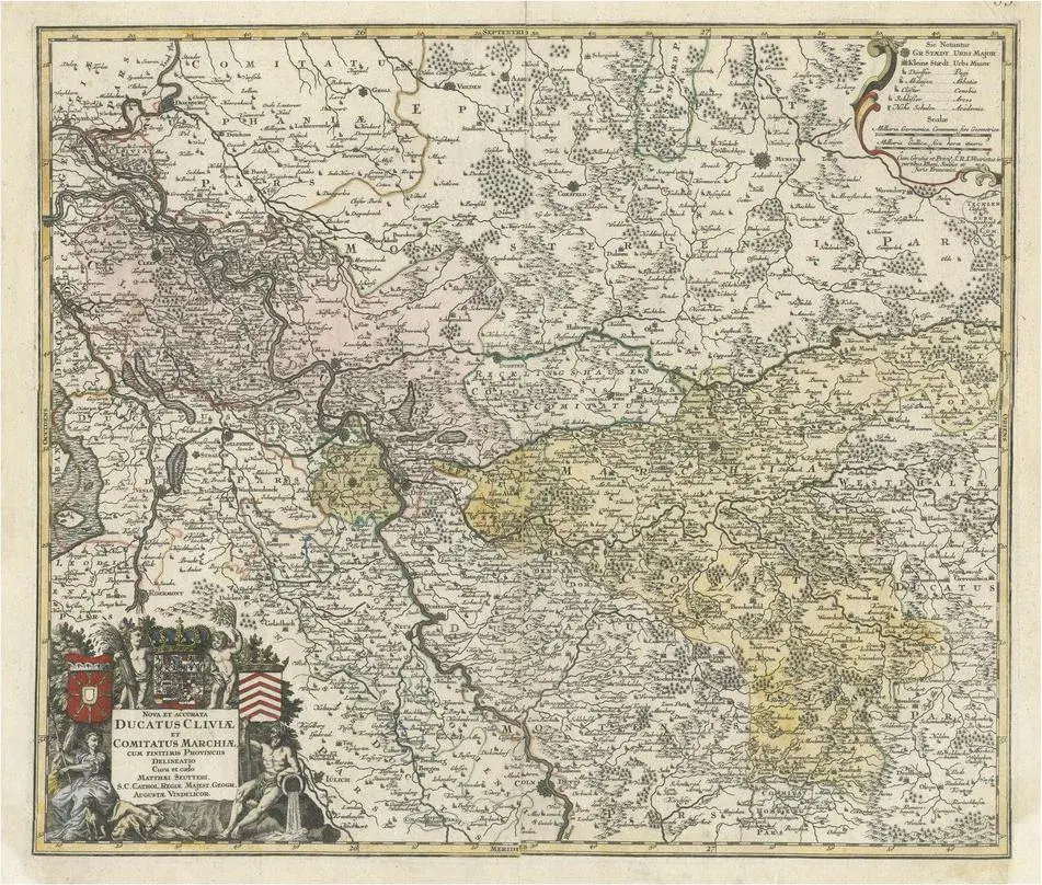
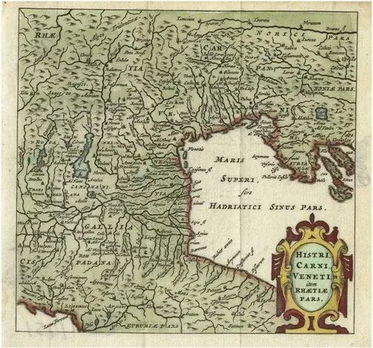
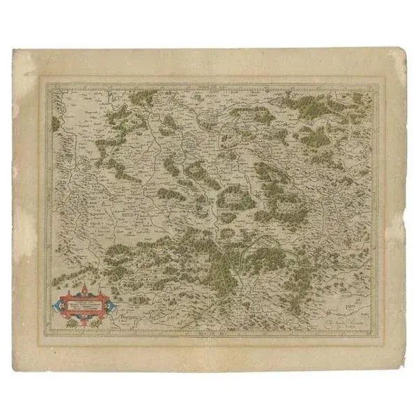
Antique map titled 'Sueviae quae cis Codanum fuit finum Antiqua defcriptio.' Miniature map of Swabia, a medieval Duchy in south-west Germany, that also included part of Poland, from the pocket atlas 'Introductionis in Universam Geographiam tam Veterem quam novam. Acessit P. Bertii (Bertius) Brevarium Orbis Terrarum', by Ph. Cluverius (Cluver). Artists and Engravers: Philipp Cluver (1580 - 1622), early modern German geographer and historian. Artist: Philipp Cluver (1580 - 1622), early modern German geographer and historian. Condition: Good, given age. Original folds as issued. General age-related toning and/or occasional minor defects from handling. Please study image carefully. Date: 1685 Overall size: 14.7 x 13 cm. Image size: 0.001 x 12.3 x 11.8 cm.
Similar products