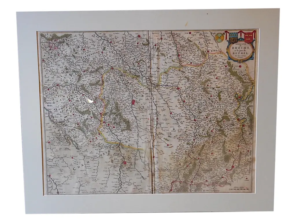
Antique map titled 'Lotharingiae Ducatus'. Old map of the southern portion of the Lorraine region, France. Lorraine is a cultural and historical region in north-eastern France, now located in the administrative region of Grand Est. Lorraines name stems from the medieval kingdom of Lotharingia. Condition: Fair, age-related toning. Latin text on verso. Repairs on folding line and margins. Also defects/ wear in image, please study image carefully. Date: c.1625 Overall size: 56 x 46 cm. Image size: 47 x 36 cm. This piece is attributed to the mentioned designer/maker. It has no attribution mark and no official proof of authenticity, however it is well documented in design history. I take full responsibility for any authenticity issues arising from misattribution
Similar products