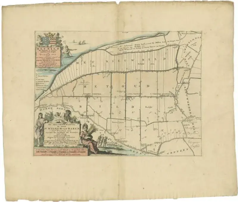
The map depicts the historical region of 't Bildt in Friesland, with notable places such as St. Jacobiparochie, St. Annaparochie, and Vrouwenparochie. These are still existing towns in the province of Friesland in the Netherlands. 't Bildt is known for its fertile soil and distinctive history, having been reclaimed from the sea by Dutch and Flemish settlers in the 16th century. The coat of arms displayed is likely that of the Van Haren family, a prominent family in the history of Friesland. This map too comes from "Uitbeelding van de Heerlijkheid van Friesland" by Bernardus Schotanus à Sterringa, published by F. Halma in Leeuwarden. St. Jacobiparochie (Sint-Jacobiparochie in Dutch), St. Annaparochie (Sint-Annaparochie), and Vrouwenparochie are still known by these names today, with St. Annaparochie being the largest village in the municipality of Waadhoeke. These towns continue to be important centers in the region, with St. Annaparochie also being the birthplace of the Van Haren family, who were historically significant to the area. 'T Bildt is the historical area depicted on the map. In modern times, the area that was historically known as 't Bildt has been merged into a larger municipality. The municipality is now known as Waadhoeke, which was formed in 2018 through the merger of several municipalities, including the former municipality of 't Bildt. Waadhoeke covers a broader area in the province of Friesland, encompassing 't Bildt and other surrounding regions. "Bildthoeke" is not a standard term used for any administrative region, but it could be a colloquial or historical reference to the corner ("hoeke" in West Frisian) of the region that includes 't Bildt.
Similar products