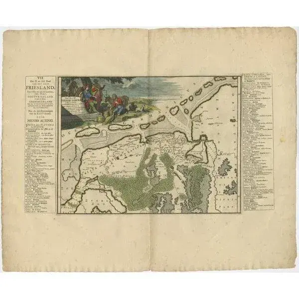
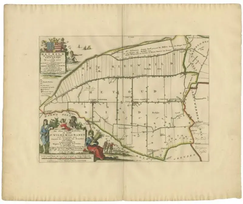
Antique map Friesland titled 'Het Bild, de negende en laatste Grietenije van Wester Goo (\.)'. Old map of Friesland, the Netherlands. This map depicts the region of 't Bildt and includes cities and villages like St. Jacobiparochie, St. Annaparochie, Vrouwenparochie and more. with coat of arms of the Van Haren family. Originates from 'Uitbeelding van de Heerlijkheid van Friesland' by Bernardus Schotanus à Sterringa. This atlas is considered the best atlas of Friesland, the Netherlands. Artists and Engravers: Published by F. Halma, Leeuwarden. Artist: Published by F. Halma, Leeuwarden. Condition: Good, general age-related toning. Minor defects, please study image carefully. Date: 1718 Overall size: 65 x 55 cm. Image size: 0.001 x 46.5 x 35 cm.
Similar products