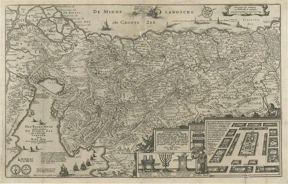
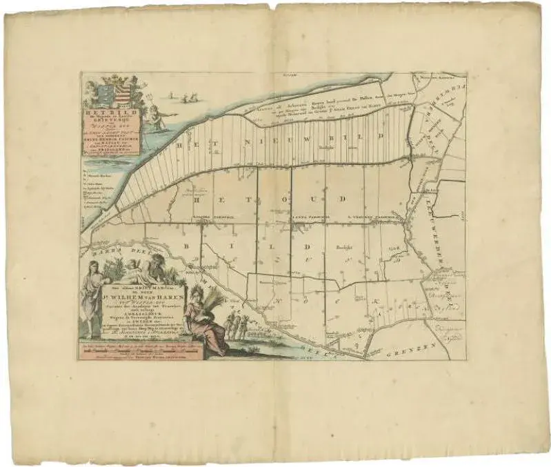
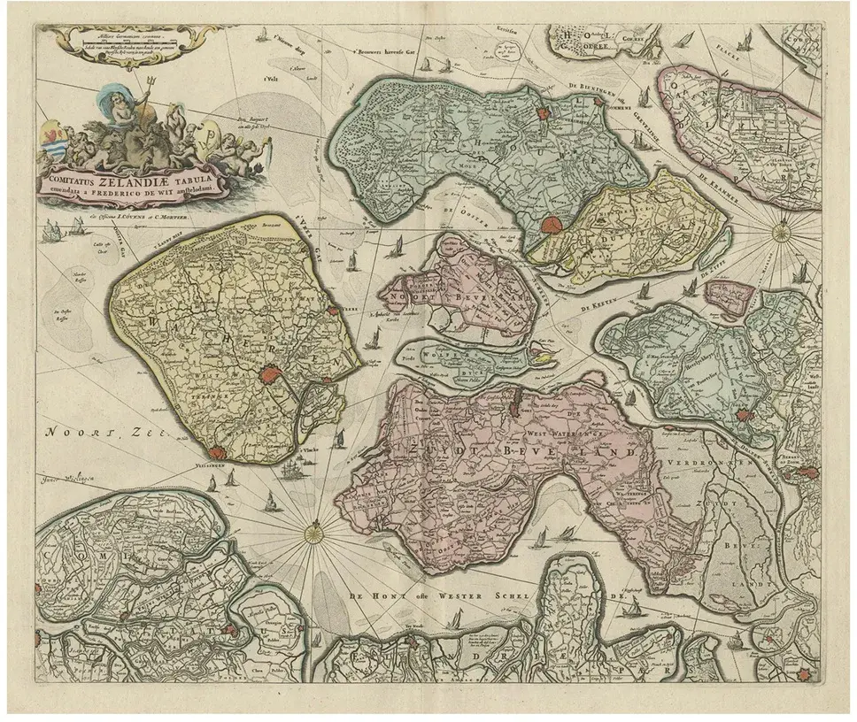
Antique map of the holy land titled 'het beloofde landt canaan.' very detailed and decorative map of the holy land embellished with sailing ships and compass rose. Dutch text on verso. Source unknown, to be determined. Ref: poortman, kaarten in bijbels, 32. Artists and engravers: made by 'albert schut' after 'cornelis danckerts'. Cornelis danckerts ii (1603-1656) was a succesful amsterdam-based art-. Print- and map-seller. (he called himself 'papiere, konst en caertverkoper.') his sons dancker ii and justus were active in the business as well. The danckerts were a well known family containing several engravers, cartographers and print-sellers that started with the founder cornelis danckerts i (1536-1595) who was the city carpenter. Condition: good, given age. A few minor spots. Light crease top left. Original folds as issued. General age-related toning and/or occasional minor defects from handling. Please study image carefully. Date: 1710 overall size: 52.4 x 40.3 cm. Image size: 50 x 34.2 cm.
Similar products