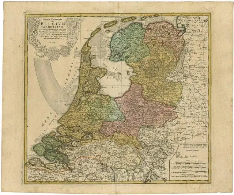
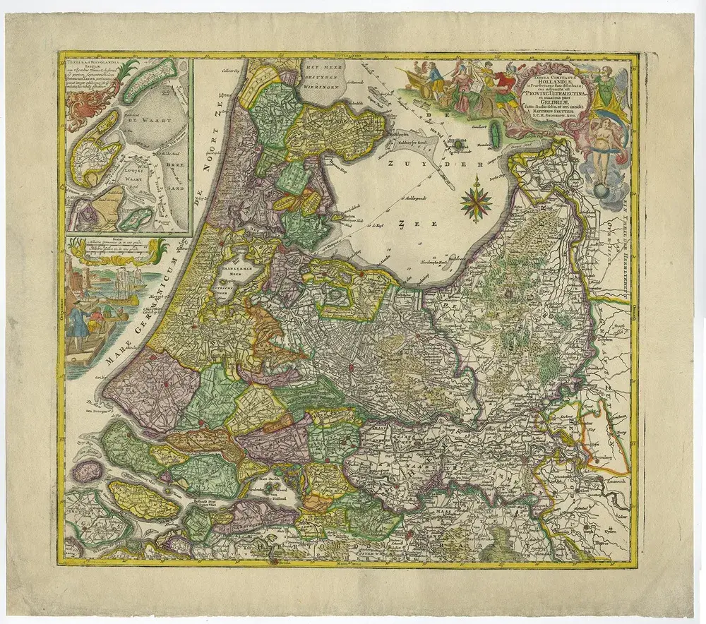
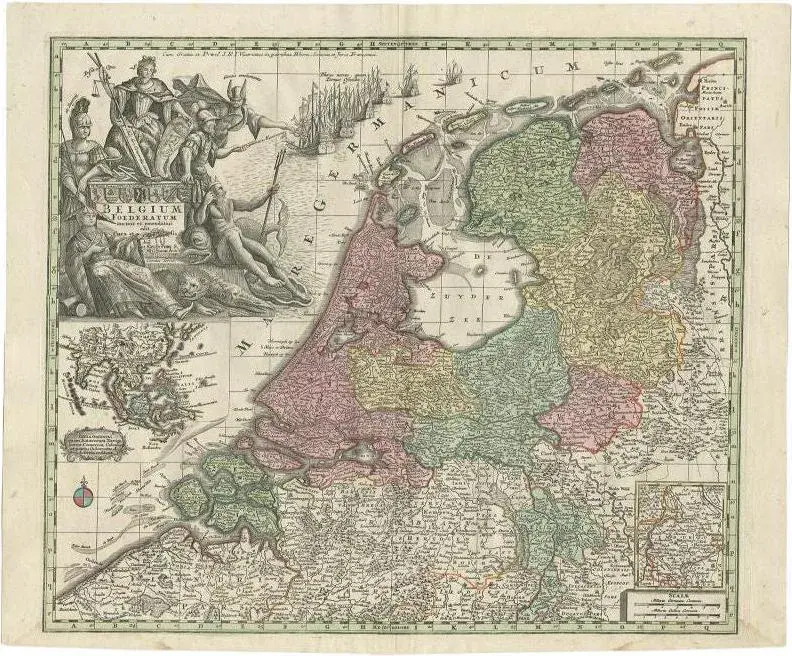
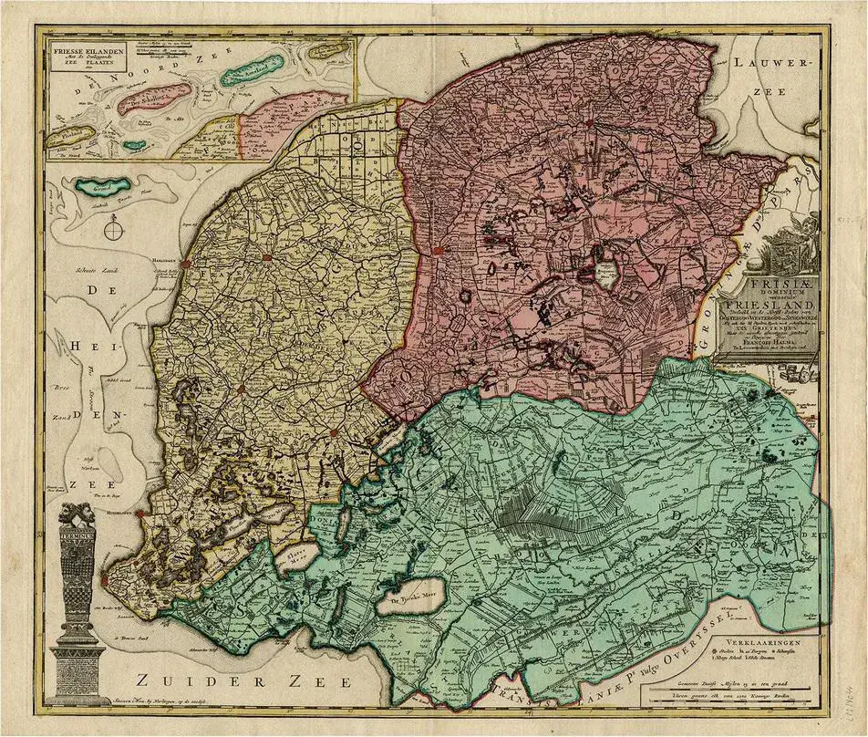
Antique map titled 'Noord-Nederland in 1740 met de Politieke veranderingen gedurende de 18e eeuw tot in 1795'. Map of the Netherlands in 1740. This map originates from 'Historische Atlas van Noord-Nederland'. Artists and Engravers: Author: G. Mees. Published by Van der Meer & Verbruggen. Condition: Good, general age-related toning. Original folding line. Minor wear, blank verso. Includes descriptive text in green wrapper. Date: 1857 Overall size: 55.5 x 47 cm. Image size: 43 x 36 cm.
RatingsNone
Similar products